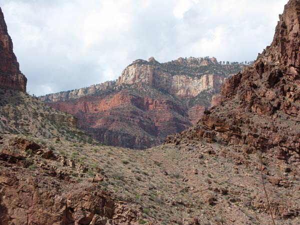
A Winter Descent: Grand Canyon 2010
 |
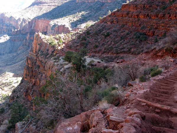
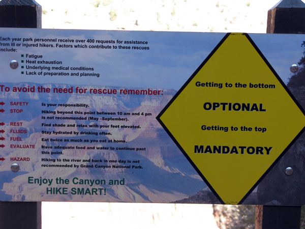
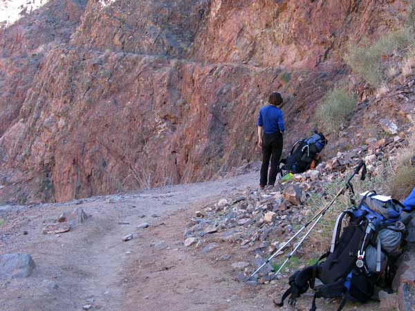
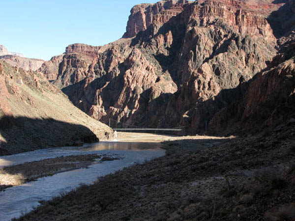
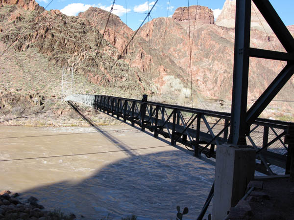
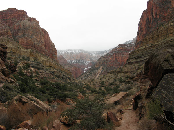
18th February: Standing on the South Rim of the Grand Canyon, preparing to descend the Bright Angel Trail to the Colorado River, 4,460' below, was not without some trepidation. After many years of mountaineering, the prospect of a retreat to safety that would involve climbing instead of descending was a daunting prospect. But after the first few hundred yards down the Trail on hard packed snow, Lucy and I became more concerned about staying on our feet, and keeping clear of the constant vertical drop-off below the path. The snow terminated 2,000' below the Rim, after which travel became easier and faster despite snowmelt puddles, mud and slippery wood crossties on the steeper sections of the trail. Eventually we reached the drier desert environment of Indian Garden, it's associated campground and running stream 1,200' above the River. The remainder of the descent to the River, then east along the River Trail and across the Silver Bridge to the Bright Angel Campground was relatively pleasant. We'd covered the 9.5 mile journey in 6.4 hours. The campground was a surprise: Sheltered location, potable water, good bathroom facilities and full of campers ... in the winter! |
 |
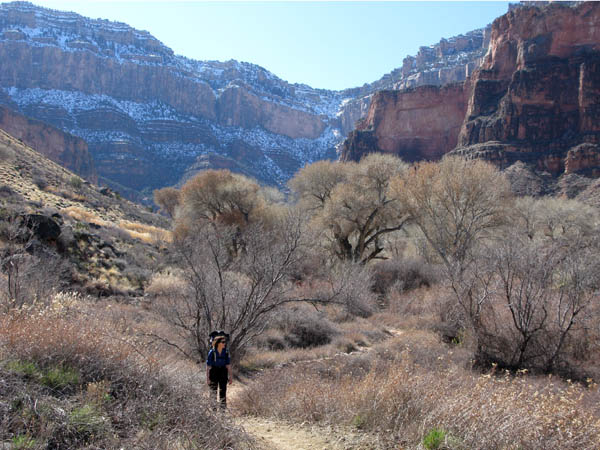
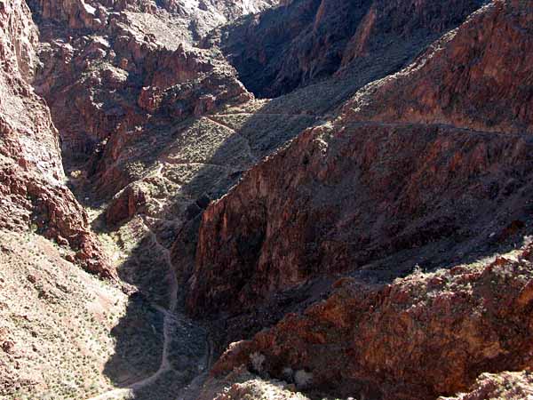
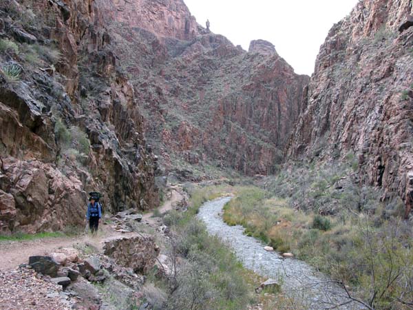
19th February: Lucy and I set off early from the campground, heading up the North Kaibab Trail to the day's destination of Cottonwood Campground, 1,500' above the Colorado River and a 7.5 mile hike through the Bright Angel Canyon. The grade was easy and the lower section of the canyon spectacular with many twists and turns between narrow vertical walls. Closer to Cottonwood the canyon opened up, providing views of both the North and South Rims. Unlike the previous day's trail, this one was sparsely populated ... only a few day-hikers from Phantom Ranch on their way to visit Ribbon Falls. Five hours of walking brought us to Cottonwood campground which was totally deserted ... no Park personnel, no campers. 20th February: We spent a pleasant and relaxed night in our tent, but woke in the morning to overcast skies and light rain. Not a good omen for the remainder of our stay in the Grand Canyon ... fresh snow on the Rims and cold rain in the lower elevations! After considering our options, we decided to leave our camp in place and continue up the North Kaibab Trail for as far as possible (and return to Cottonwood) within the available daylight hours. Three hours later we were back at our camp, having reached the bridge (and house) at Manzanita Creek before retreating in heavy rain, wind and poor visibility. We knew from the long range Park forecast that this rain would be setting in for at least three days, so decided to pack up and head down to Bright Angel campground with a plan to exit the Canyon the following day |
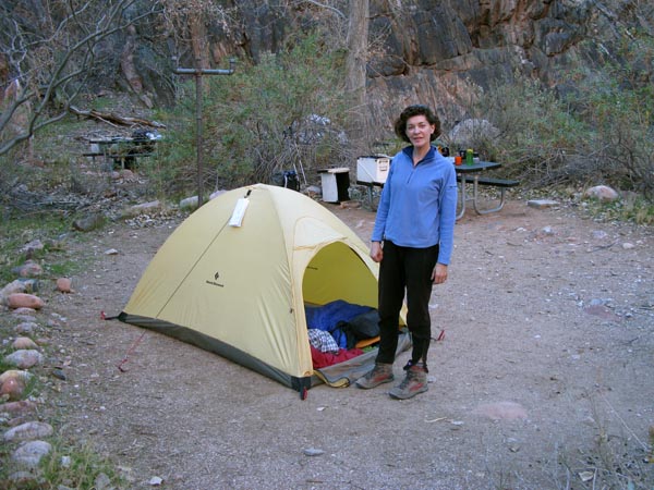
Drenched and cold, we arrived at Bright Angel in continuous heavy rain. Equipped primarily for snow and dry cold conditions, the rain created serious problems to our comfort. Our single walled tent, sans vestibule - wet from the night before, pack covers that leaked, limited dry clothing and damp down-filled sleeping bags made for an unpleasant night and concern about staying warm during the next day's climb out to the South Rim. 21st February: Early morning: We were blessed with a brief break in the rain ... enough time to pack up, put on the few clothes that remained dry and get moving before the rain started again. We did have a permit to camp at Indian Garden if the prospect of climbing all the way to the Rim (9.5 miles and 4,600' ascent) became too daunting. We reached the Garden with the rain still pelting down, so it was an easy decision to keep climbing towards the Rim. We emerged from the Canyon 7.5 hours after leaving Bright Angel and into a full blown blizzard on top of the Rim. Another hard lesson rediscovered: If there's a possibility of rain, carry the extra gear to stay dry. In future we'll have backup ponchos and a vestibule for the tent! ©Copyright 2012 Peter W Tremayne, Reno NV |
Return to Top
latest news2020 | latest news2019 | latest news2018 | latest news2017 | home | main players | contact us | sierra nevada | jmt access map | jmt planning | 2024equipment | jmt schedules | jmt2016 | jmt 2015 | jmt 2014 | jmt 2013 | jmt 2012 | jmt 2011 | jmt 2010 | jmt 2009 | jmt 2008 | jmt 2007 | jmt 2006 | jmt 2005 | jmt 2004 | jmt 2002 | mt agassiz | mt sill | mt shasta | matterhorn peak | mt egmont | nz 2016 | mt rainier | mt shuksan | mt jefferson | pct sonora nth | pct tm nth | pct wa nth | mt baker | wonder trail | mera peak | mt adams | goat rocks | cascades 2003 | mt whitney | kaibab trail | presidents | antarctica | hoover pct | recesses | highrte2015 | highrte2016 | denali89 | benson lake | videos mp4 | tremaynes |


