The Whitney Chronicles: 1988 - 2015
Mount Whitney, with an elevation of 14,495', is the highest point in the Lower 48 States ... and is a walk up on a fine day in a Californian summer. Thousands of people attempt this peak each year with many actually reaching the summit, using the standard Trail from Whitney Portal. Ideal conditions for climbing Whitney exist only from June through to September and allows crowds of eager wannabes to safely negotiate the Trail to the summit, and back, without getting killed or maimed. What I've found amazing is how poorly dressed many of these climbers are for such a high altitude environment. If they do reach the summit in good weather conditions they're likely to believe they've achieved a real feat of mountaineering. Not so ... all they've done is hiked up a well designed trail. Serious climbing on Whitney is available on other routes and outside the good weather window between June and September. |
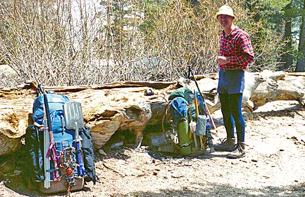
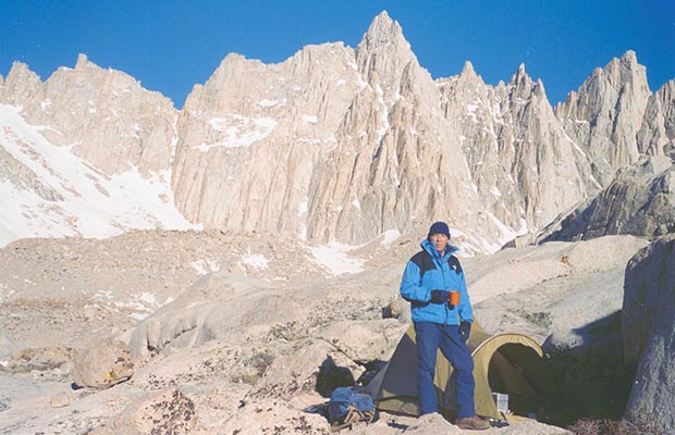
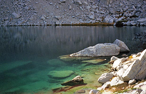
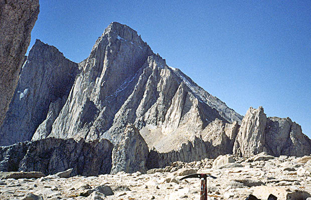
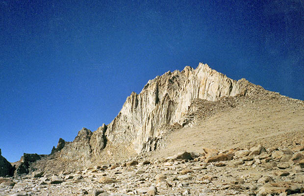
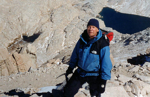
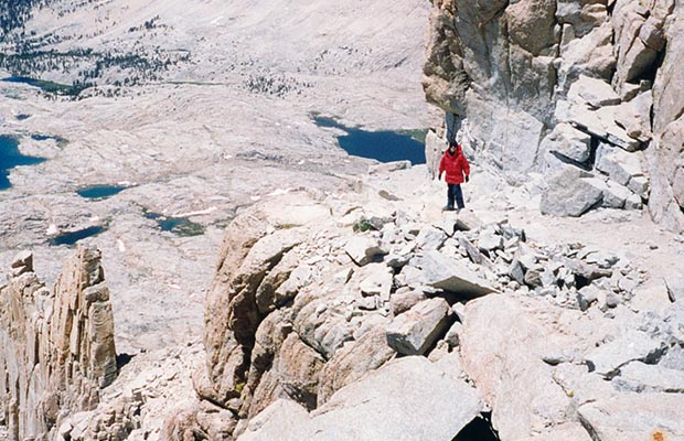
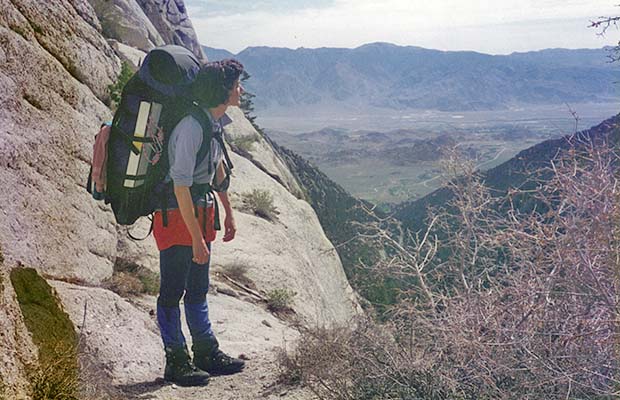
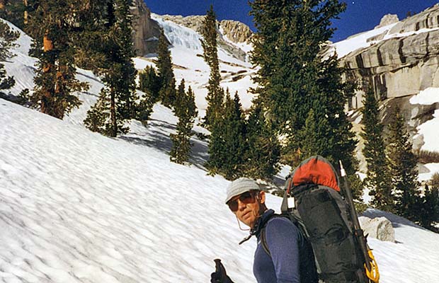
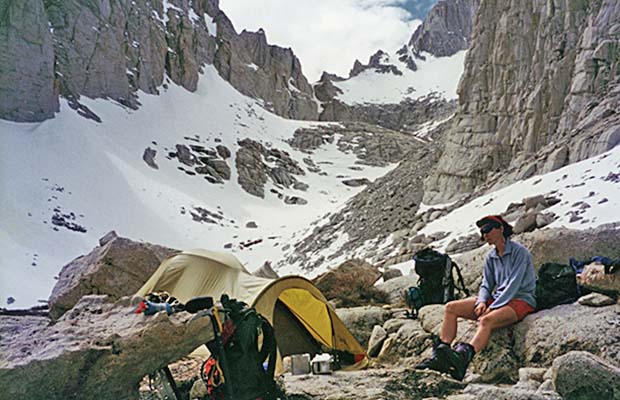
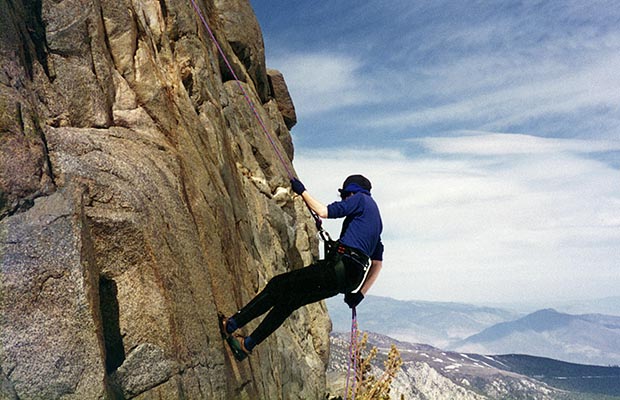
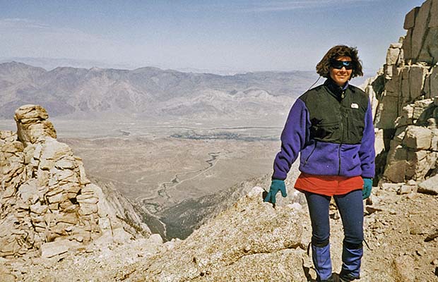
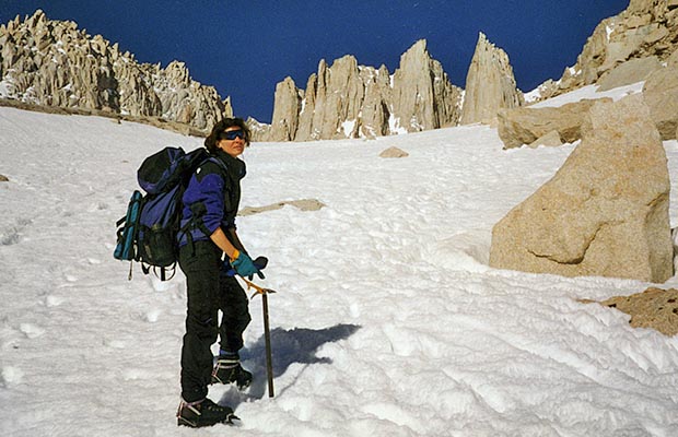
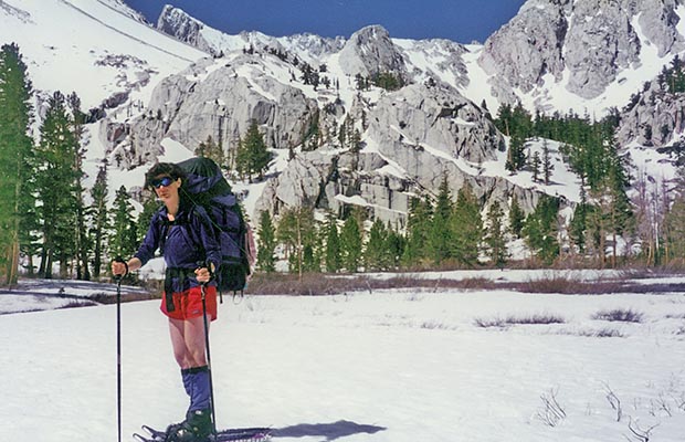
My first attempts to climb Whitney began in April - May of 1988, at a time when I'd accumulated some alpine mountaineering experience in New Zealand. So when I began on Whitney, I came equipped with suitable boots, ice ax, crampons and the knowledge how to use them. As it happened, in the years ahead, I often returned to Whitney at the same time of year ... with deep Winter snow and the Trail totally obscured. So on those first few climbs, route finding was difficult leading up to Trail Camp. And above, the switchbacks to Trail Crest were not accessible, or downright dangerous. In fact, on my first climb I witnessed a woman sliding 200' off the switchbacks, fortunately missing the rocks and falling into a deep snow drift. During the 1990's, I returned to Whitney with my 11 year old son, my wife Lucy, and various friends from the UPS Airline. More significantly, I explored the Mountaineer's Route solo and then with my wife. These trips also included ascents of Mount Russell and Carillon from Upper Boy Scout Lake.
|
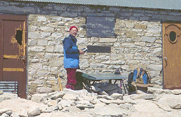
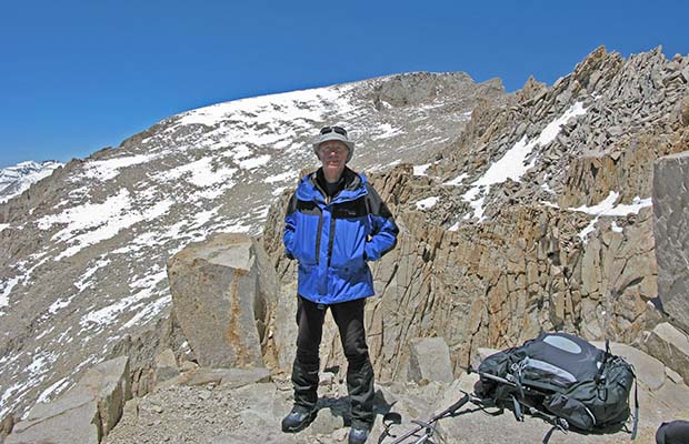
In the early 2000's, my association with Mount Whitney was all about completing the John Muir Trail [JMT] each year on its summit. I began referring to this climb as the 215 mile Whitney route from Yosemite. Until my first full JMT hike, I'd not climbed Whitney from the western side ... that is, from Guitar Lake up the magnificent trail that switchbacks to the Trail Crest intersection with the Portal Trail at 13,500'. This leaves a remaining distance to the summit of 1.9 miles and an ascent of 1000'. Each year reaching the summit of Whitney from Yosemite, I've experienced an epiphany and a clear understanding that I'm still very much alive. I was told once, probably by Sherpas, that those who live among, or at the foot of mountains see them as bridges between the human world and the dominion of the gods. Perhaps, hidden beneath each step from Yosemite there’s been a feeling of transcendence, a knowledge that the final direction of my life will be ultimately changed somewhere between heaven and earth.
©Peter W Tremayne, Reno NV, 2015 |
Back to Top
latest news2020 | latest news2019 | latest news2018 | latest news2017 | home | main players | contact us | sierra nevada | jmt access map | jmt planning | 2024equipment | jmt schedules | jmt2016 | jmt 2015 | jmt 2014 | jmt 2013 | jmt 2012 | jmt 2011 | jmt 2010 | jmt 2009 | jmt 2008 | jmt 2007 | jmt 2006 | jmt 2005 | jmt 2004 | jmt 2002 | mt agassiz | mt sill | mt shasta | matterhorn peak | mt egmont | nz 2016 | mt rainier | mt shuksan | mt jefferson | pct sonora nth | pct tm nth | pct wa nth | mt baker | wonder trail | mera peak | mt adams | goat rocks | cascades 2003 | mt whitney | kaibab trail | presidents | antarctica | hoover pct | recesses | highrte2015 | highrte2016 | denali89 | benson lake | videos mp4 | tremaynes |






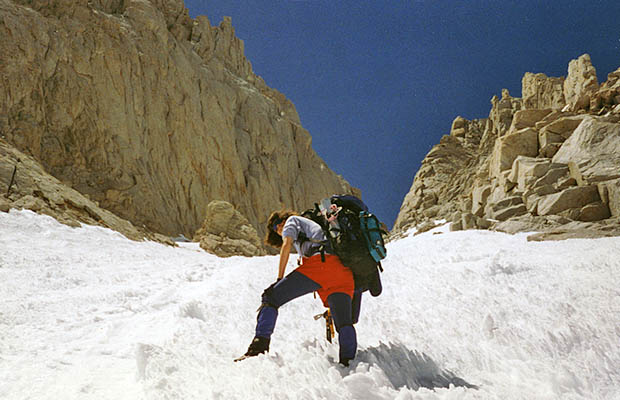
![October 1991: Ascending [solo] the Mountaineer's route couloir.](images/Whitney/91whitney07.jpg)

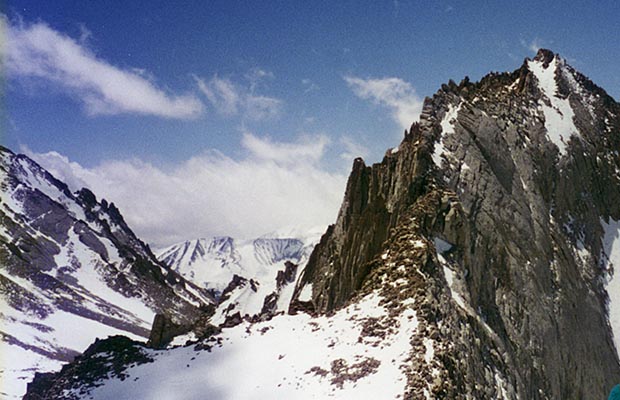
![October 1991: Ascending [solo] the east ridge of Mt. Russell.](images/Whitney/91whitney12.jpg)
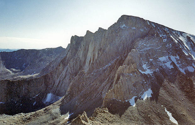
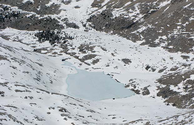
![October 1991: View from the summit of Mt. Russell [14,086'] to Tulainyo Lake and Mt. Carillon](images/Whitney/91whitney14.jpg)
![August 1993: My son Jordan [age 11] astride North Fork Creek on the Whitney Portal Trail.](images/Whitney/93whitney08.jpg)




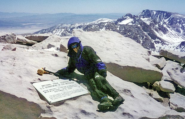
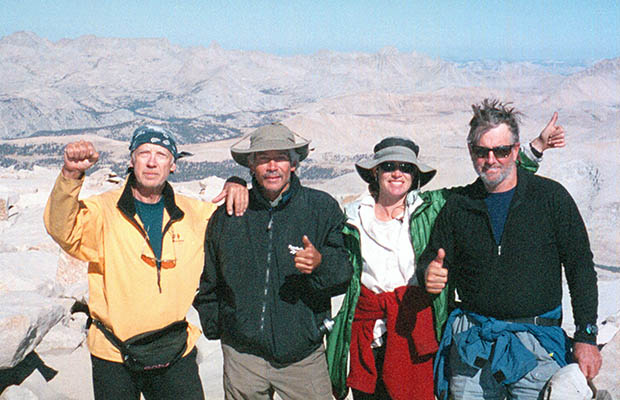
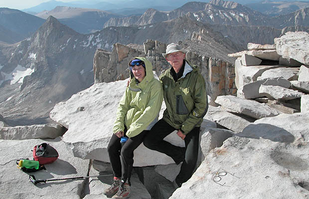
![September 2004: At the end of my second JMT hike [with Lucy] - on the summit of Whitney.](images/Whitney/204jmt221.jpg)

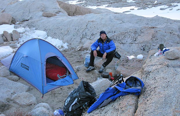



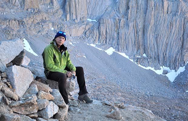
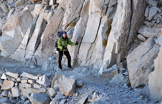


![October 2013: At the end of the JMT [solo] - on the summit of Whitney.](images/Whitney/213jmt090.jpg)