Latest Tales from the Tinman -2018

Email Contact: tinknees@charter.net


Big Sam and Beyond - Sept 2018


There are three access routes through the eastern boundary of the Emigrant Wilderness: the Bond Pass trail from the PCT in northern Yosemite NP; the unmaintained [hard to follow] path from Cinko Lake over Emigrant Pass and the old mining road from Leavitt Lake over Big Sam down to High Emigrant Lake. The latter is by far the shortest and most accessible of the routes.

My last foray into the High Sierra for 2018 was another solo hike of five days, completing a circuit from Leavitt Lake over Big Sam to Grizzly Meadow, then over Bond Pass to the PCT, northbound to Kennedy Canyon and exiting via the mining road down to Leavitt Lake. The weather was excellent, albeit with cold winds at higher elevations and waking in the deep canyons to gloomy cool mornings.

While on the PCT, I had the privilege of meeting southbound thru-hikers from the Canadian border, passing the 1,000-mile waypoint from the Mexican border. The trail-names I remember is Starter, Dayglo, Yellowjacket, Bearhair, Donkey, Mouse and Glissade. Go, guys!

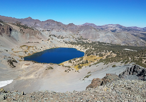
  • Looking down at Leavitt Lake from the old mining road Looking down at Leavitt Lake from the old mining road
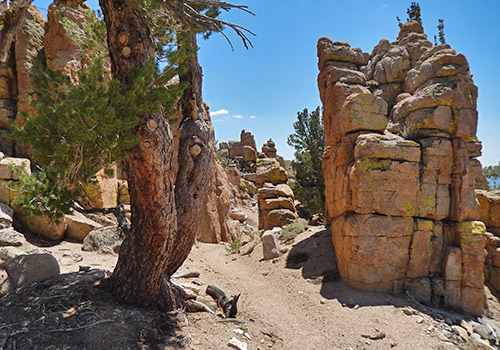
  • The PCT to Sonora Pass runs along the back of the vertical rockface. The PCT to Sonora Pass runs along the back of the vertical rockface.
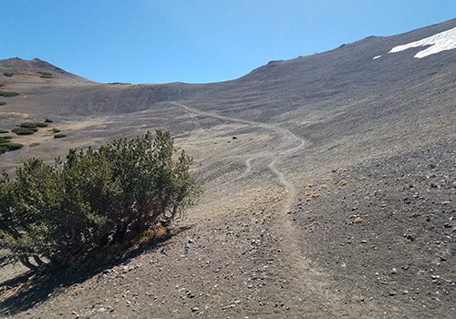
  • The old mining road leading up to intercept the PCT at 10,600'. The old mining road leading up to intercept the PCT at 10,600'.
  • Looking down into Kennedy Canyon from the PCT intersection. Looking down into Kennedy Canyon from the PCT intersection.
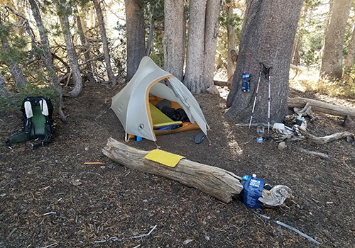
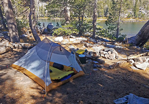
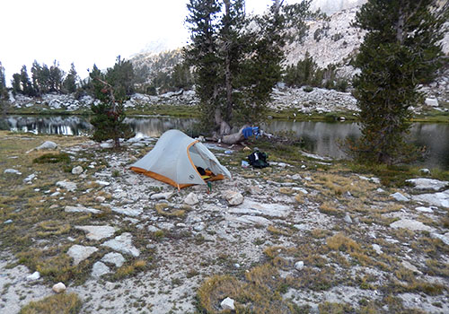
  • My wind protected campsite at the top of Kennedy Canyon. My wind protected campsite at the top of Kennedy Canyon.
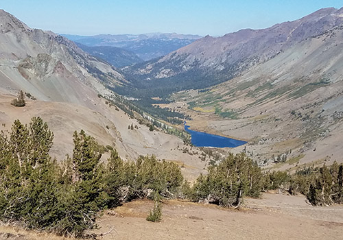
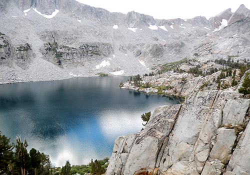
  • Looking down on Kennedy Lake from the lower slopes of Big Sam Looking down on Kennedy Lake from the lower slopes of Big Sam
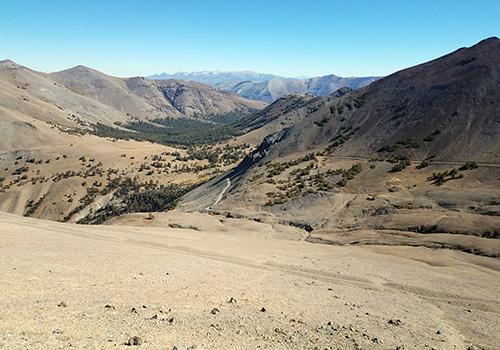
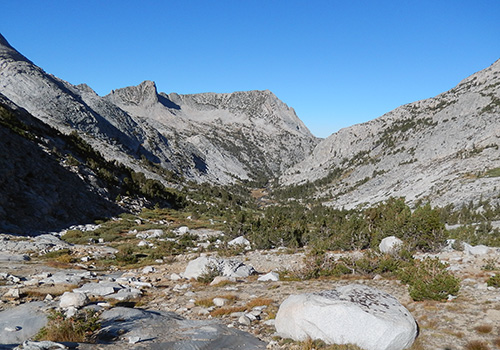
  • From the Big Sam road, looking down the length of Kennedy Canyon. From the Big Sam road, looking down the length of Kennedy Canyon.
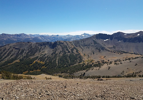
  • From the Big Sam summit [10,800'] looking west to Kennedy Meadows. From the Big Sam summit [10,800'] looking west to Kennedy Meadows.
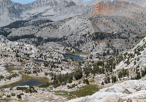
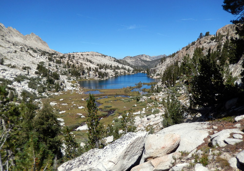
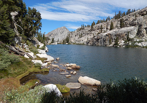
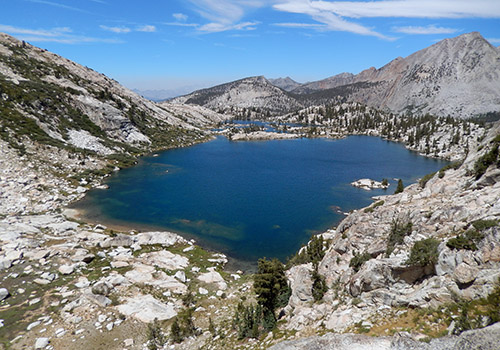
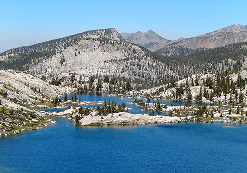
  • On Big Sam summit looking down to the lakes of Emigrant Wilderness. On Big Sam summit looking down to the lakes of Emigrant Wilderness.
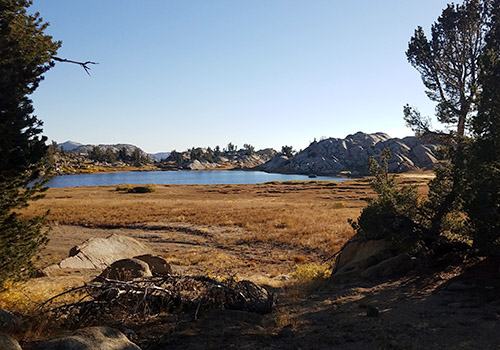
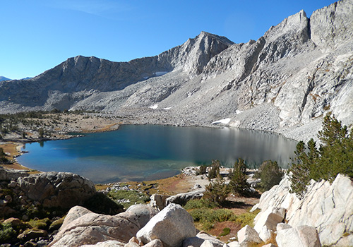
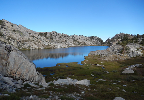
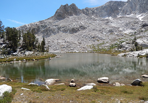
  • The small lake near my camp in Grizzly Meadows. The small lake near my camp in Grizzly Meadows.
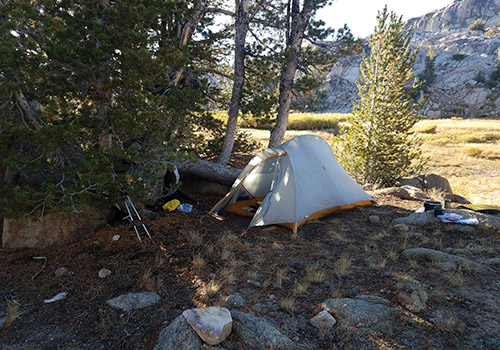
  • My wind sheltered campsite location at Grizzly Meadows. My wind sheltered campsite location at Grizzly Meadows.
  • The northwestern face of Grizzly Peak seen from the Meadow. The northwestern face of Grizzly Peak seen from the Meadow.
  • Looking west from Bond Pass. Disused high trail on the right-hand ridge. Looking west from Bond Pass. Disused high trail on the right-hand ridge.
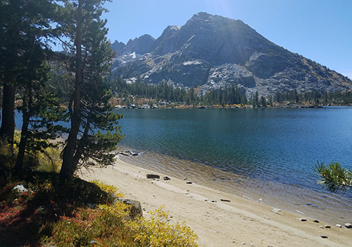
  • A PCT beach along Dorothy Lake. Forsyth Peak in background. A PCT beach along Dorothy Lake. Forsyth Peak in background.
  • My PCT campsite on the shore of Lake Harriet. My PCT campsite on the shore of Lake Harriet.
  • A primitive PCT marker: 1,000 miles from the Mexican border. A primitive PCT marker: 1,000 miles from the Mexican border.
{image.index} / {image.total}


Crossing Bear Country - Sept 2018


In early September, Bob and I decided to tackle the rather difficult section of Roper's Sierra High Route from French Canyon through the Bear Lakes Basin to Lake Italy. It involved crossing two Passes, Feather and White Bear, which are potentially hazardous if you stray from the recommended route. We managed to do just that on both Passes, leaving us shaken but still determined to continue ... not that retracing our steps was a safer option! 

We completed the crossing without breaking anything but did have some scary moments on the southern approach to Feather Pass and the northern descent from White Bear Pass. Crossing Feather Pass itself was okay, but finding the correct route up from La Salle Lake was tricky and now realize we took the most difficult choice. White Bear Pass on the northern side is a beast: Roper and others make it clear to avoid the left side when descending because of Class 4 slabs. So, we went down the right side, through small tumbled rocks mixed with willow bushes, not finding a regular use trail, and finally being surrounded by large talus in the center. Not a happy descent!

We had a problem making the initial connection with the Italy Lake Trail when hiking out to the JMT from Teddy Bear Lake, but the situation improved after reaching the first meadow along the creek. 

  • Merriam Lake - the real starting point of our High Route crossing. Merriam Lake - the real starting point of our High Route crossing.
  • The access to the higher lakes & Feather Pass from Merriam Lake. The access to the higher lakes & Feather Pass from Merriam Lake.
  • Looking down to La Salle Lake from our approach to Feather Pass. Looking down to La Salle Lake from our approach to Feather Pass.
  • The northwestern side of Feather Pass. The northwestern side of Feather Pass.
  • Bob descending from Feather Pass to cross a small snow-bank. Bob descending from Feather Pass to cross a small snow-bank.
  • Peter on the descent from the top of Feather Pass. Peter on the descent from the top of Feather Pass.
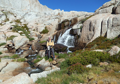
  • Our brilliant [Alpen light] campsite on the north side of Feather Pass. Our brilliant [Alpen light] campsite on the north side of Feather Pass.
  • Early morning reflection on the Tarn by our campsite. Early morning reflection on the Tarn by our campsite.
  • The view from above Bearpaw Lake, looking back to Feather Pass. The view from above Bearpaw Lake, looking back to Feather Pass.
  • On the edge of Ursa Lake, before climbing to Black Bear Lake. On the edge of Ursa Lake, before climbing to Black Bear Lake.
  • The last vertical move before reaching Black Bear Lake. The last vertical move before reaching Black Bear Lake.
  • Bob relaxing after our climb.  Ursa and Big Bear Lakes below. Bob relaxing after our climb. Ursa and Big Bear Lakes below.
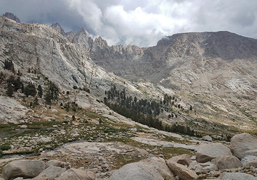
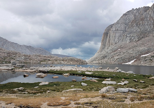
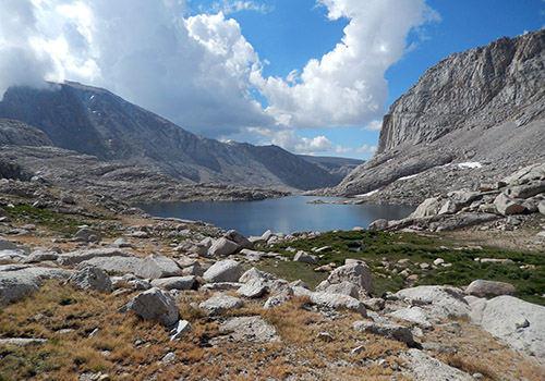
  • Our last high lake, White Bear, with it's associated Pass - on right. Our last high lake, White Bear, with it's associated Pass - on right.
  • Looking down during our tough descent from White Bear Pass. Looking down during our tough descent from White Bear Pass.
  • The view of White Bear Pass from Brown Bear Lake. The view of White Bear Pass from Brown Bear Lake.
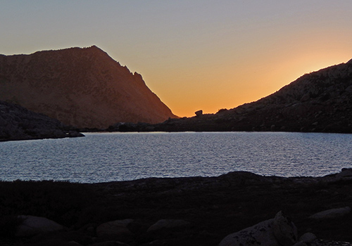
  • The brilliant sunset across Teddy Bear Lake. The brilliant sunset across Teddy Bear Lake.
  • Alpen Glow over Brown Bear Lake.  White Bear Pass on right. Alpen Glow over Brown Bear Lake. White Bear Pass on right.
  • Early morning at Brown Bear Lake.  White Bear Pass in background Early morning at Brown Bear Lake. White Bear Pass in background
  • View from Teddy Bear Lake down to the first meadow of Italy Lake Trail View from Teddy Bear Lake down to the first meadow of Italy Lake Trail
{image.index} / {image.total}


Solo over X-country Passes - Aug 2018


A trip to die for, but fortunately not on! This was an adventurous solo hike, mostly cross-country, over four Passes along the Silver Divide. The first was crossing Hopkins Pass from Big McGee Lake into the Upper Hopkins Basin ... in a thunderstorm. Two crossings were on Roper's High Route: Bighorn Pass above Laurel Lake and Shout of Relief Pass above Rosy Finch Lake; completing a link between Mono Creek Trail and McGee Pass Trail. The last crossing was on the well-trodden trail over the 12,000' McGee Pass. My point of entry and exit was the McGee Pass trailhead.

After dropping down from Shout of Relief Pass, I set up camp for two nights at Tully Lake, taking a day off to explore the continuation of the High Route along the spacious granite benches to Cotton and Issac Walton Lakes. The highlight of the trip was extending my exploration to Hortense Lake which is located above Isaac Walton. The complicated climb to view Hortense Lake was well worth the effort.

Out there for a total of eleven days, I needed a food resupply from VVR and a good excuse for eating/drinking up large! Also the opportunity for hot showers and laundry.  As always at VVR, there was a gathering of fascinating people.


  • Big McGee Lake with Hopkins Pass on the skyline -right of center Big McGee Lake with Hopkins Pass on the skyline -right of center
  • Hopkins Pass seen from the eastern side of McGee Pass Hopkins Pass seen from the eastern side of McGee Pass
  • The tarn immediatly below the northern side of Hopkins Pass The tarn immediatly below the northern side of Hopkins Pass
  • Near the top of Hopkins Pass [11,400'] - a narrow ledge of fractured rock. Near the top of Hopkins Pass [11,400'] - a narrow ledge of fractured rock.
  • Camped on the easy slopes below the southern side of Hopkins Pass Camped on the easy slopes below the southern side of Hopkins Pass
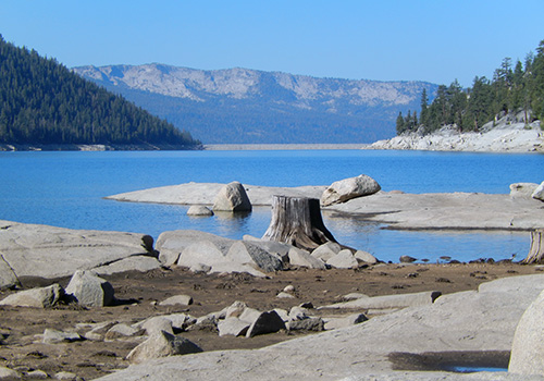
  • The level's still low in Edison Lake - the dam at the far end The level's still low in Edison Lake - the dam at the far end
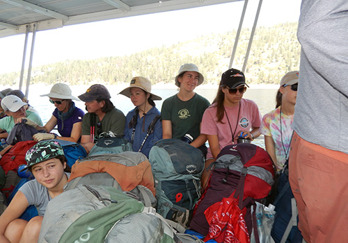
  • Don't pay the Ferryman [Ray] until he gets you to the other side! Don't pay the Ferryman [Ray] until he gets you to the other side!
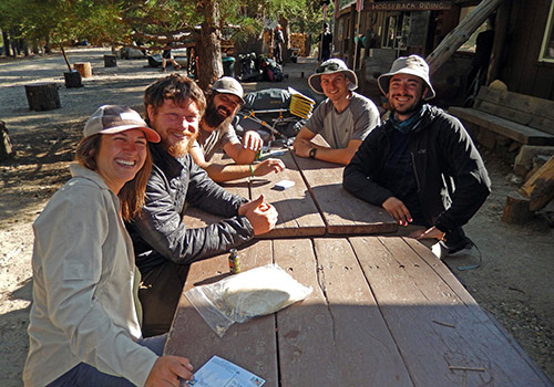
  • Angela, Derek, David, Robbie and Kevin relaxing at VVR Angela, Derek, David, Robbie and Kevin relaxing at VVR
  • Part of the 15 member expedition to the 2nd Recess & Lake Italy Part of the 15 member expedition to the 2nd Recess & Lake Italy
  • I finally discover the shortcut from the JMT to Mono Creek Trail I finally discover the shortcut from the JMT to Mono Creek Trail
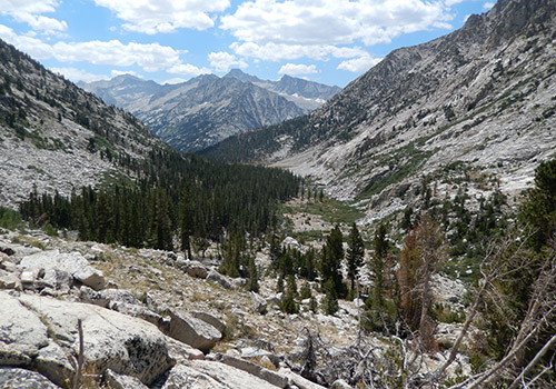
  • On the last big climb to Laurel Lake, looking south in the Basin On the last big climb to Laurel Lake, looking south in the Basin
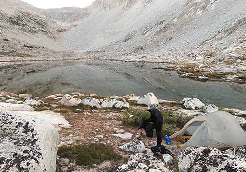
  • My lonely camp beside Laurel Lake My lonely camp beside Laurel Lake
  • On the steep climb above Laurel Lake to Bighorn Pass On the steep climb above Laurel Lake to Bighorn Pass
  • The eastern side of Bighorn Pass [11,200'] -very laid back The eastern side of Bighorn Pass [11,200'] -very laid back
  • Below the western side of Bighorn Pass - a little gnarly Below the western side of Bighorn Pass - a little gnarly
  • The last section crossing from Bighorn to Shout of Relief Pass [11,400'] The last section crossing from Bighorn to Shout of Relief Pass [11,400']
  • The view from the northern side of Shout of Relief Pass The view from the northern side of Shout of Relief Pass
  • Tully Lake on the granite benches below Shout of Relief Tully Lake on the granite benches below Shout of Relief
  • Cotton Lake on the granite benches along the High Route Cotton Lake on the granite benches along the High Route
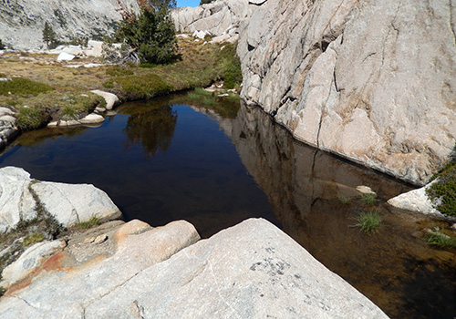
  • The bathtub tarn near Cotton Lake The bathtub tarn near Cotton Lake
  • Issac Walton Lake seen from the nasty descent from Cotton Lake         Issac Walton Lake seen from the nasty descent from Cotton Lake
  • The northern end of Isaac Walton Lake The northern end of Isaac Walton Lake
  • Small Mace Lake that's above and west of Issac Walton Lake Small Mace Lake that's above and west of Issac Walton Lake
  • At last, my view of the fabled Hortense Lake At last, my view of the fabled Hortense Lake
  • The peninsula and islands at the northern end of Hortense Lake The peninsula and islands at the northern end of Hortense Lake
{image.index} / {image.total}


The Magnificent Miter [Basin] - Jul 2018


An exciting return to the Miter Basin following our two exploratory visits last year. Bob and I entered the Basin using the rather desperate access above the western shore of Lower Soldier Lake. This use trail switchbacks up a very steep, loose rock gully, that terminates on a ridge that separates the Lake [and hiker wannabes] from the extensive granite slabs that populate the lower sections of the Basin. Once there and avoiding the hidden vertical walled gullies, moving up into the Miter is a delight, an easy hike to Sky Blue Lake.

Our enjoyment of being back in the area was tempered by daily thunderstorms after midday, including a three hour deluge at our first campsite at the Flat Rock. On the fourth day we attempted the cross country journey from Flat Rock, up past Sky Blue Lake to Crabtree Pass, but turned back 600' below the Pass because of Thunderstorms. On the fifth day, we exited the Basin on the easier [and safer] route that connects to the Upper Soldier Lake canyon. Spent our last night near that lake and next morning climbed the use trail that connects with the Mount Langley summit route. From there it's mostly downhill to New Army Pass and out to the Cottonwood Lakes trailhead.

  • Tinman and Lawman: Peter and Bob, the oldest guys out there [79 & 78] Tinman and Lawman: Peter and Bob, the oldest guys out there [79 & 78]
  • Peter on the desperate scramble above Soldier Lake ... with a full pack. Peter on the desperate scramble above Soldier Lake ... with a full pack.
  • The steep gully from Soldier Lake into the lower section of Miter Basin. The steep gully from Soldier Lake into the lower section of Miter Basin.
  • Rock Creek flowing by our main campsite in the Basin Rock Creek flowing by our main campsite in the Basin
  • Early morning on our way up to Sky Blue Lake and beyond. Early morning on our way up to Sky Blue Lake and beyond.
  • Rain on the way.  Looking down from the Sky Blue Lake waterfall. Rain on the way. Looking down from the Sky Blue Lake waterfall.
  • Bob on the high crossing of the waterfall below Sky Blue Lake Bob on the high crossing of the waterfall below Sky Blue Lake
  • Looking south down the length of Sky Blue Lake Looking south down the length of Sky Blue Lake
  • On our way up from Sky Blue to Crabtree Pass. Mt Langley on the left. On our way up from Sky Blue to Crabtree Pass. Mt Langley on the left.
  • Bob sitting at our turn-around point below the Pass Bob sitting at our turn-around point below the Pass
  • Looking down on Lower Soldier Lake from the much easier ledge route Looking down on Lower Soldier Lake from the much easier ledge route
  • The crossed trees that mark the beginning of the Upper Soldier ledge The crossed trees that mark the beginning of the Upper Soldier ledge
  • Looking from the crossed trees into Miter Basin Looking from the crossed trees into Miter Basin
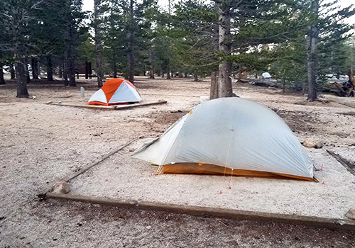
  • Our campsite under very old Fox-Tail pines near Upper Soldier Our campsite under very old Fox-Tail pines near Upper Soldier
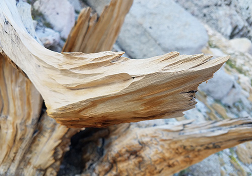
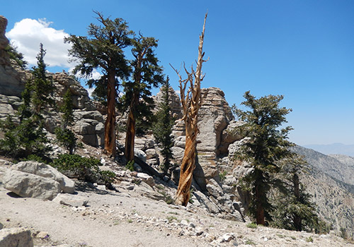
  • Wind, sand and snow erosion of a Fox-Tail limb Wind, sand and snow erosion of a Fox-Tail limb
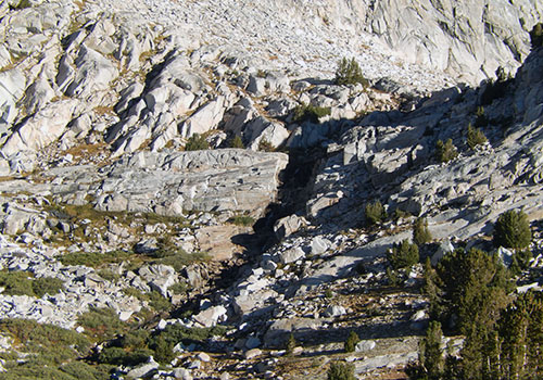
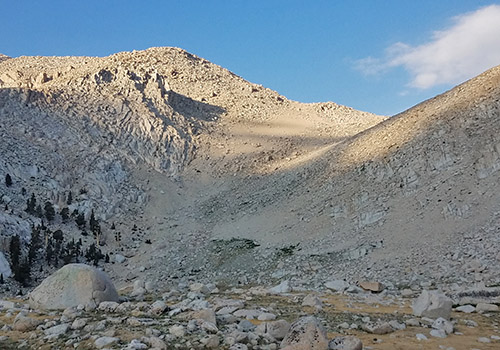
  • The gully at the end of the Upper Soldier Lake canyon The gully at the end of the Upper Soldier Lake canyon
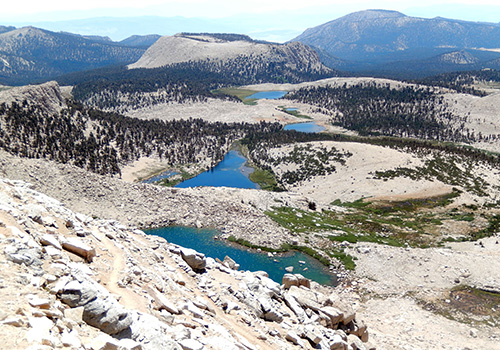
  • Looking down into the Upper Soldier Lake canyon & meadow. Looking down into the Upper Soldier Lake canyon & meadow.
  • The view east from New Army Pass.  Cottonwood Lakes below. The view east from New Army Pass. Cottonwood Lakes below.
{image.index} / {image.total}


Kern Bridge: PCT Whitney south -Jun 18


My last Spring foray along the PCT was a return to the section from Trail Pass, southbound to the bridge over the South Fork of the Kern River. In the company of Bob Williams, we left Horseshoe Meadow on June 6th, spending nights at the Corral spring, Death Canyon and Bear Trap Meadow on the Olanche Pass trail. We made a day hike from Bear Trap to the Kern Bridge and back, then hiked out over Olanche Pass to Sage Flat on June 10th. Although most of the hike was above 10,000 feet, there was no snow on the Trail which was our primary reason for choosing this section.

We were probably the only south-bounders on the Trail, but passed up to thirty thru-hikers northbound each day. This passing parade included: Blue and Heaps from New Zealand, Redworm and Snake Eater from Denmark, Ofer from Israel, Stormtrooper from Hong Kong, Nightingale from Utah, Catchup from Michigan, Hashbrown from Bishop, Ikea from Canada, Dingo from Ohio, Buzzkill from Bishop, Mowgli from Tennessee, Ed from Seattle and Coconut from Colorado [pickup on Hwy 395].

  • The PCT bridge over the River Kern.  Bob relaxing in the grass. The PCT bridge over the River Kern. Bob relaxing in the grass.
  • The incredible road up to Horseshoe Meadow from Lone Pine. The incredible road up to Horseshoe Meadow from Lone Pine.
  • Our tents at the walk-in hiker campground at Horseshoe Meadow Our tents at the walk-in hiker campground at Horseshoe Meadow
  • Looking north to Cirque Peak and Mt Langley from Horseshoe Meadow. Looking north to Cirque Peak and Mt Langley from Horseshoe Meadow.
  • Near the highpoint on the PCT between Death Canyon and Diaz Meadow Near the highpoint on the PCT between Death Canyon and Diaz Meadow
  • Gateway to the danger zone! Gateway to the danger zone!
  • Bob at our highest point, along the flank of Olanche Peak. Bob at our highest point, along the flank of Olanche Peak.
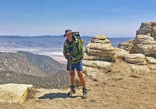
  • Me near the danger zone ... 6,000 feet down to Owens Valley Me near the danger zone ... 6,000 feet down to Owens Valley
  • Bob near the danger zone ... 6,000 feet down to Owens Valley Bob near the danger zone ... 6,000 feet down to Owens Valley
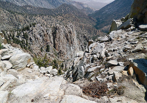
  • Looking down from the danger zone. Looking down from the danger zone.
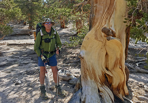
  • Me admiring a very old, and alive, Foxtail Pine Me admiring a very old, and alive, Foxtail Pine
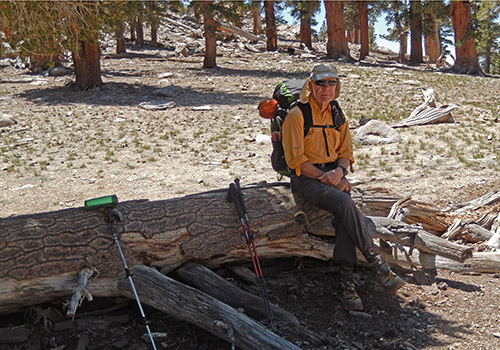
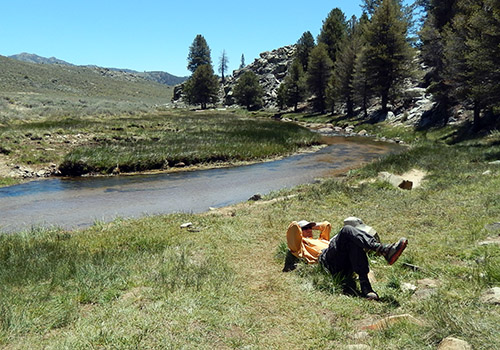
  • Bob resting on the banks of the South Fork of the Kern River Bob resting on the banks of the South Fork of the Kern River
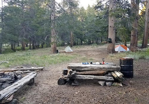
  • Our well equipped wilderness campsite at Bear Trap Creek Our well equipped wilderness campsite at Bear Trap Creek
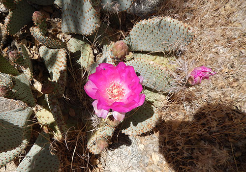
  • A suprising cactus on the descent from Olanche Pass. A suprising cactus on the descent from Olanche Pass.
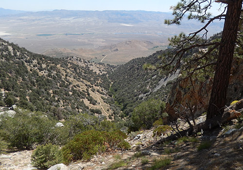
  • The view down to Sage Flat trailhead from the Olanche Pass trail. The view down to Sage Flat trailhead from the Olanche Pass trail.
{image.index} / {image.total}


Cache 22: The PCT in North CA -May 18


I’m back in civilization after two weeks stuffing around in the wilderness of Northern California.  Fitter, thinner, but beat-up from the forests that are lovely, dark and deep, but I have promises to keep, and miles to go before I sleep [thanks Robert Frost].  Another simple backpacking trip that turned into a memorable adventure … with snakes, hillbillies, their snarling dogs, pot growers, Brother Bear and very few other hikers. 

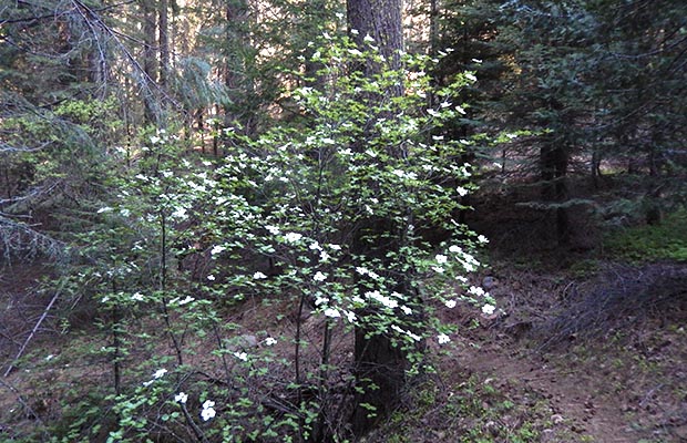
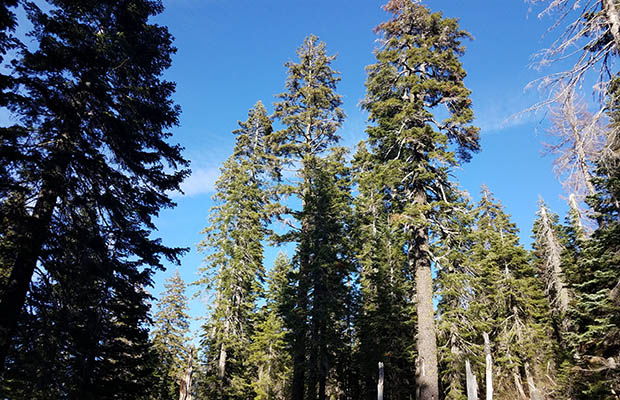
It took four days walking from Old Station to Burney Falls, before continuing the 32 miles to Moosehead Creek, only to turn back because of deep soft snow on the Trail west of Moosehead .  I met two thru-hikers [go Smiley-Face and old Swiss guy] who'd jumped from Kennedy Meadows because of late snow conditions in the High Sierra.  The forest northwest from Burney Falls was beautiful in its variety of trees, not unlike Washington State:  Mostly Douglas Fir and Western White Pine, then White Fir, Red Fir and many Incense Cedars … and the Dogwood bushes came into flower during the time I was out there. 

Water sources along these sections of the PCT were few and far between ... and when found, often difficult to access.

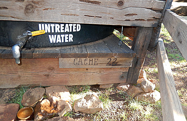
  • The iconic "Cache 22" water tank at Road 22. Thanks Jim, you're an Angel The iconic "Cache 22" water tank at Road 22. Thanks Jim, you're an Angel
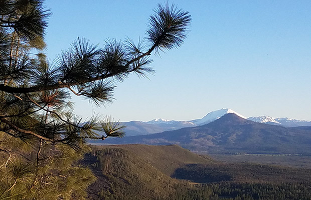
  • The relay station tower along the lava rim.  Mt Lassen in the background The relay station tower along the lava rim. Mt Lassen in the background
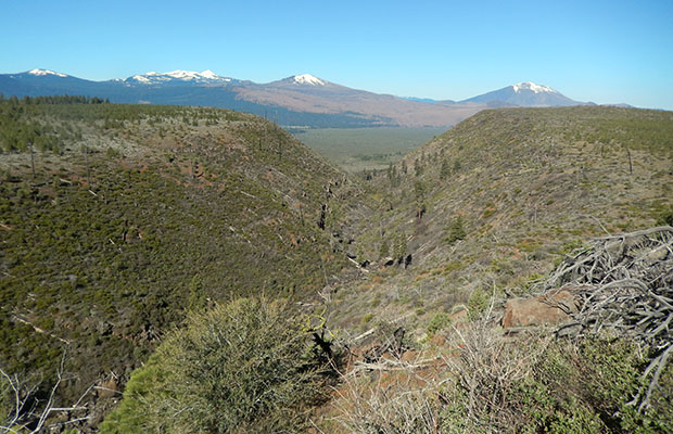
  • Looking west over the lava rim to Mount Shasta Looking west over the lava rim to Mount Shasta
  • The very deep gully that's home, way down, to Lost Creek Spring The very deep gully that's home, way down, to Lost Creek Spring
  • Looking southeast toward Mount Lassen from Cache 22 Looking southeast toward Mount Lassen from Cache 22
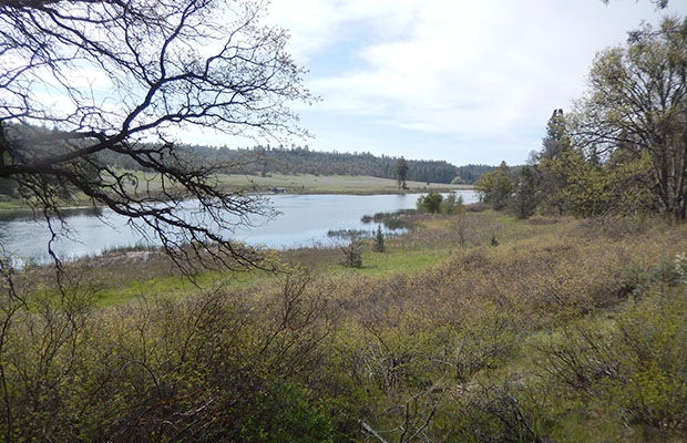
  • Baum Lake - bird-poop contaminated close along the shores. Baum Lake - bird-poop contaminated close along the shores.
  • Lake Britton dam, a few miles east of Burney Falls Lake Britton dam, a few miles east of Burney Falls
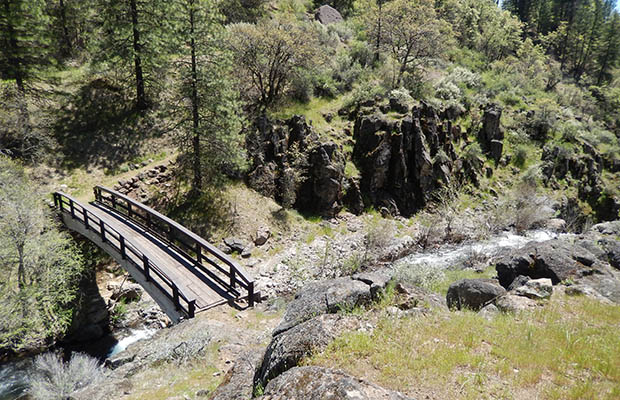
  • The bridge across Rock Creek, a few miles west of Lake Britton dam The bridge across Rock Creek, a few miles west of Lake Britton dam
  • One of the two waterfalls on Rock Creek below the PCT bridge One of the two waterfalls on Rock Creek below the PCT bridge
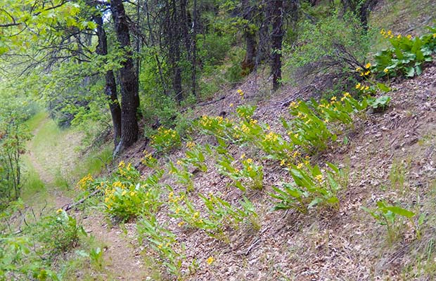
  • A beautiful stand of Broadleaf Arnica under the Oaks A beautiful stand of Broadleaf Arnica under the Oaks
  • The Dogwoods are flowering near Upper Jakes Spring. The Dogwoods are flowering near Upper Jakes Spring.
  • Looking west from the PCT towards the 14,000' summit of Shasta Looking west from the PCT towards the 14,000' summit of Shasta
  • No wonder people believe in Bigfoot - a very fresh bearpaw track. No wonder people believe in Bigfoot - a very fresh bearpaw track.
  • Large fir trees close to my Moosehead Creek campsite Large fir trees close to my Moosehead Creek campsite
  • My unpleasant, damp campsite at Moosehead Creek. Few choices here. My unpleasant, damp campsite at Moosehead Creek. Few choices here.
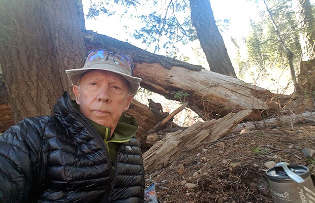
  • A selfie taken at my Moosehead camp during my zero day. A selfie taken at my Moosehead camp during my zero day.
  • Volcanic rock outcrops near Kosk Spring Volcanic rock outcrops near Kosk Spring
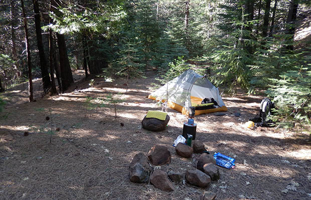
  • The most excellent campsite at Upper Jake Spring - 400 yards downhill! The most excellent campsite at Upper Jake Spring - 400 yards downhill!
{image.index} / {image.total}


Third Gate: The PCT in Winter - Feb 18

The decision this Winter to head south and hike the PCT from the Mexican Border to Idyllwild, thus avoiding the heavy snow further north in the Sierra Nevada seemed like a good idea.  Based on long term weather forecasts for southern California in February and March, it should have been an easy hike along well graded trails, with only the problem of limited water sources.  In the event, from February 18th to March 2nd, high winds and blizzard conditions made the adventure more challenging than we needed. 

Despite the difficulties, we hiked a total of 80 miles from the Mexican Border to Warner Springs that included a number of snow days hanging out in cabins and lodges.  My highlight was getting a ride in the backseat of a Police Cruiser from off the Montezuma Highway to Warner Springs … to collect the vehicle we’d left there.  The young officer found us hiking down the Highway in blizzard conditions, took pity on the old folks and offered to get me to my vehicle.  Said he was sorry I would have to sit in the backseat because the right front seat was covered in manuals.  Before allowing me into the Cruiser, he wanted assurance that I wasn’t carrying a gun or knife, but did excuse my metal knees!

Because of continued bad weather we decided to terminate our adventure at Warner Springs. We're now planning to complete this PCT section in December 2018.

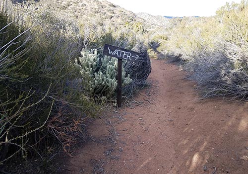
  • The Third Gate at PCT mile 91 - large water cache close by. The Third Gate at PCT mile 91 - large water cache close by.
  • Directions to the Mile 91 water cache. Directions to the Mile 91 water cache.
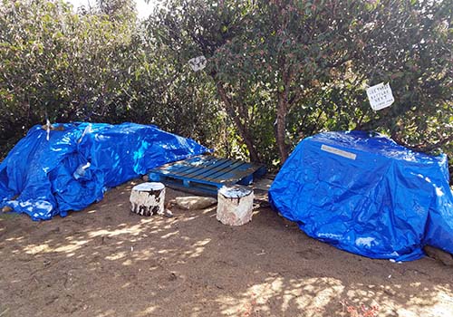
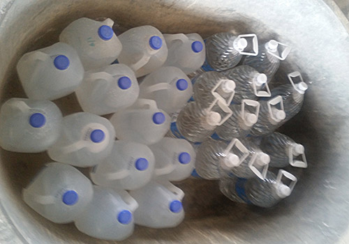
  • The large water cache at Mile 91 placed there by wonderful Trail Angels. The large water cache at Mile 91 placed there by wonderful Trail Angels.
  • Randy and the Tinman at the southern terminus of the PCT. Randy and the Tinman at the southern terminus of the PCT.
  • Mike and Randy battling the blizzard near our Laguna cabin. Mike and Randy battling the blizzard near our Laguna cabin.
  • A Highway Patrol officer in the blizzard at the Laguna Lodge and Store A Highway Patrol officer in the blizzard at the Laguna Lodge and Store
  • The PCT running along the edge of the Laguna escarpment. The PCT running along the edge of the Laguna escarpment.
  • Mike and Randy on the PCT near the Sunrise campsite in the Lagunas Mike and Randy on the PCT near the Sunrise campsite in the Lagunas
  • The water cache under the bridge at Scissors Crossing-PCT Mile 77. The water cache under the bridge at Scissors Crossing-PCT Mile 77.
  • Mike climbing the relatively easy slope above Scissors Crossing. Mike climbing the relatively easy slope above Scissors Crossing.
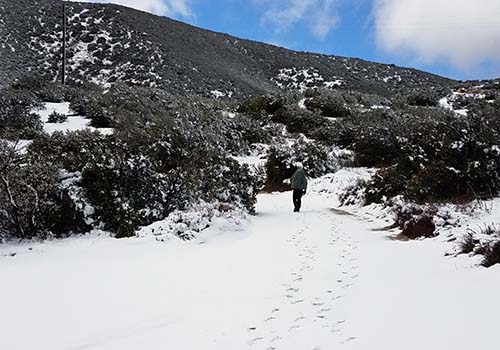
  • Another snow day between the Third Gate and Barrel Springs Another snow day between the Third Gate and Barrel Springs
  • The grass plains south of Warner Springs.  Eagle Rock in the background. The grass plains south of Warner Springs. Eagle Rock in the background.
  • Eagle Rock, a tourist attraction a few miles south of Warner Springs. Eagle Rock, a tourist attraction a few miles south of Warner Springs.
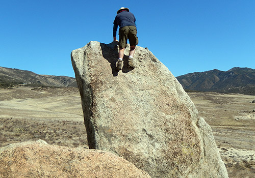
  • Boulder climbing at Eagle Rock. Boulder climbing at Eagle Rock.
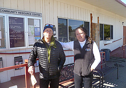
  • Tinman with Patrice, Trail Angel at Warner Springs Community Center Tinman with Patrice, Trail Angel at Warner Springs Community Center
{image.index} / {image.total}


Go to Home Page

Go to Latest News 2017


latest news2020 | latest news2019 | latest news2018 | latest news2017 | home | main players | contact us | sierra nevada | jmt access map | jmt planning | 2024equipment | jmt schedules | jmt2016 | jmt 2015 | jmt 2014 | jmt 2013 | jmt 2012 | jmt 2011 | jmt 2010 | jmt 2009 | jmt 2008 | jmt 2007 | jmt 2006 | jmt 2005 | jmt 2004 | jmt 2002 | mt agassiz | mt sill | mt shasta | matterhorn peak | mt egmont | nz 2016 | mt rainier | mt shuksan | mt jefferson | pct sonora nth | pct tm nth | pct wa nth | mt baker | wonder trail | mera peak | mt adams | goat rocks | cascades 2003 | mt whitney | kaibab trail | presidents | antarctica | hoover pct | recesses | highrte2015 | highrte2016 | denali89 | benson lake | videos mp4 | tremaynes |