Latest Tales from the Tinman -2017


Email Contact: tinknees@charter.net

High Passes and Bighorns: Aug-Sept 2017


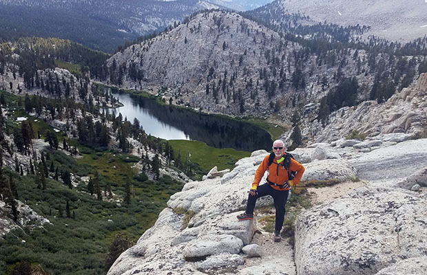
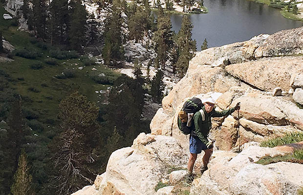
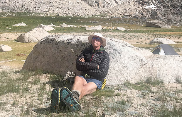
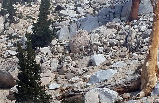
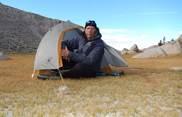
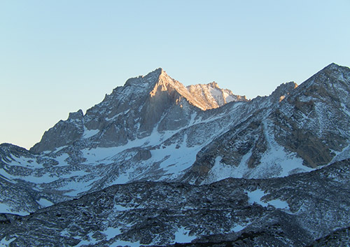
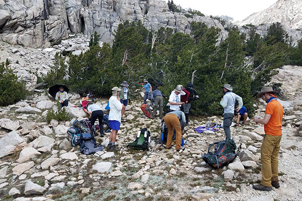
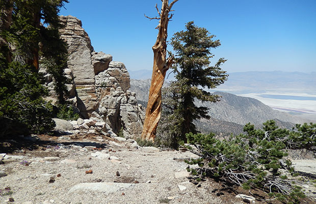
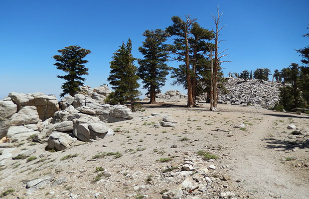
After a disappointing early summer in the High Sierra, waiting for snow to melt along the JMT section of the PCT, Bob Williams and I drove up to 10,000' Horseshoe Meadow to access the almost snow free approaches to Mt Langley. Our first sortie was via Cottonwood Pass, then north on the PCT to Lower Soldier Lake followed by a rather desperate scramble to reach Upper Soldier Lake. Camped there on the level drainage above the lake where we were honored by the presence of a large herd of Bighorn Sheep.

We climbed out of the Upper Lake canyon on a use-trail to intercept the Mt Langley climbing route [recently marked with large rock cairns]. Steve Roper would not be pleased! Then, rather foolishly, descended to Cottonwood Lakes via old Army Pass which is officially closed and unmaintained. Having survived this route, our next sortie onto Mt Langley and Soldier Lakes, was via the Cottonwood Lakes Trail and New Army Pass. We returned to Horseshoe Meadow by the same spectacular, and decidedly safer route.

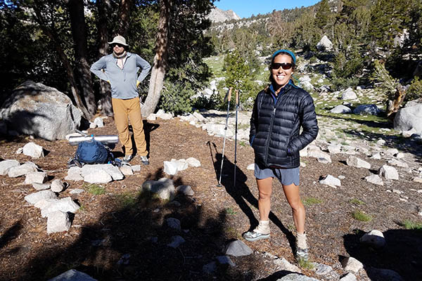
  • Bob on our climb from the lower Soldier Lake to the upper Lake. Bob on our climb from the lower Soldier Lake to the upper Lake.
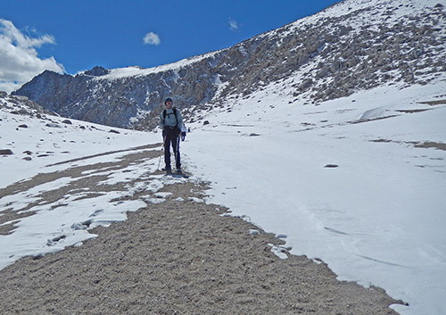
  • The Tinman climbing from the lower Soldier Lake to the upper Lake. The Tinman climbing from the lower Soldier Lake to the upper Lake.
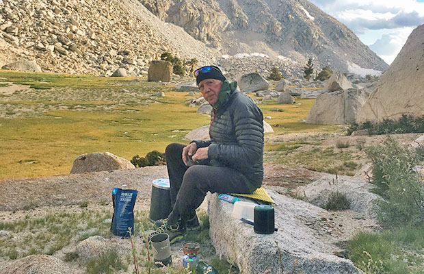
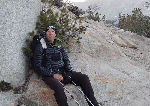
  • The Tinman at rest at our campsite near the Upper Soldier Lake The Tinman at rest at our campsite near the Upper Soldier Lake
  • The herd of Bighorn Sheep that came by our campsite. The herd of Bighorn Sheep that came by our campsite.
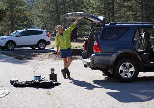
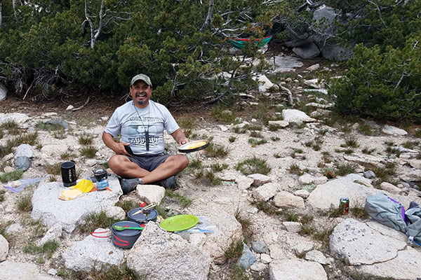
  • The Tinman cooking dinner. The Tinman cooking dinner.
  • Bob carefully descending the old Army Pass trail. Bob carefully descending the old Army Pass trail.
  • The Tinman near the top of old Army Pass.  Fear never, stark terror -yes! The Tinman near the top of old Army Pass. Fear never, stark terror -yes!
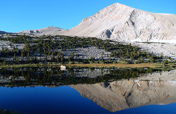
  • Looking across Long Lake to the 12,900' Cirque Peak. Looking across Long Lake to the 12,900' Cirque Peak.
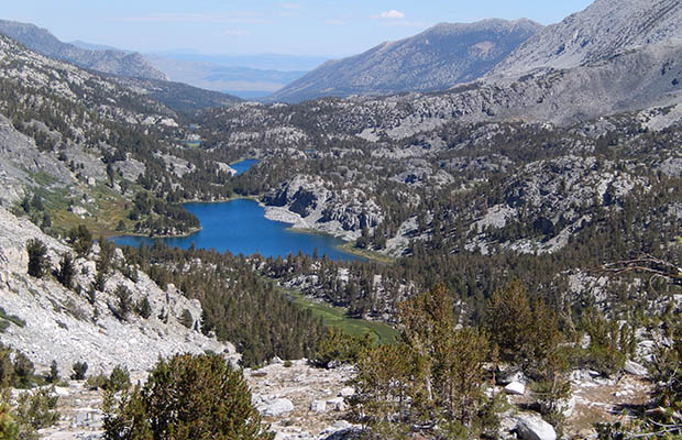
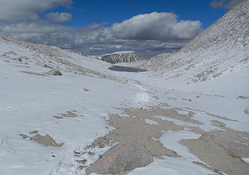
  • Long Lake with New Army Pass [on extreme right] in the morning. Long Lake with New Army Pass [on extreme right] in the morning.
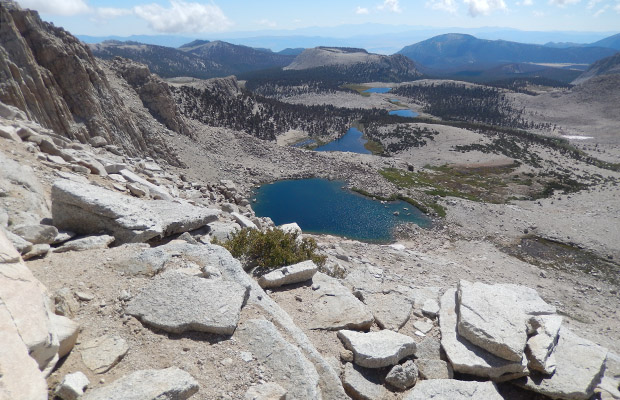
  • Looking east from New Army Pass.  High Lake and Long Lake below. Looking east from New Army Pass. High Lake and Long Lake below.
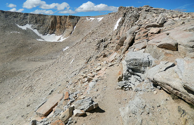
  • On the top of New Army Pass at 12,300'. On the top of New Army Pass at 12,300'.
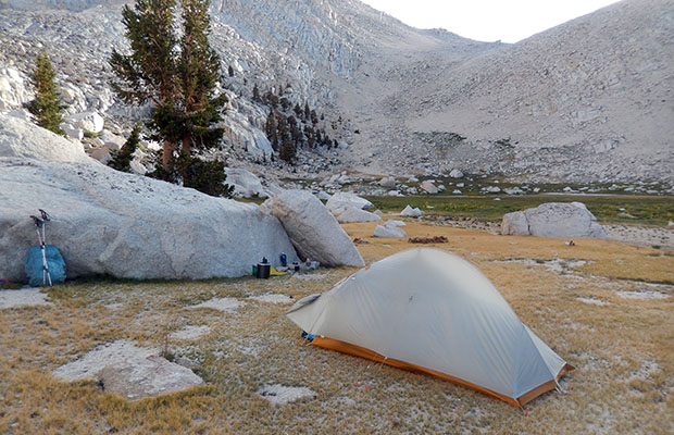
  • Back at our campsite in the valley above Upper Soldier Lake. Back at our campsite in the valley above Upper Soldier Lake.
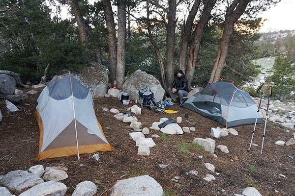
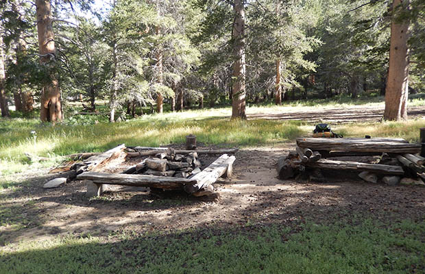
  • Our lonely campsite in the valley above Upper Soldier Lake. Our lonely campsite in the valley above Upper Soldier Lake.
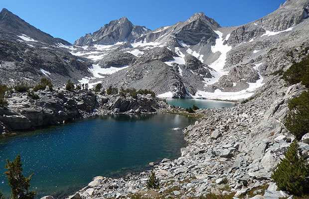
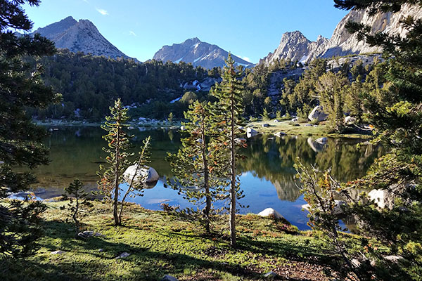
  • Looking north along Little Lakes Valley from Treasure Lakes. Looking north along Little Lakes Valley from Treasure Lakes.
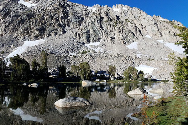
  • Treasure Lakes with Bear Creek Spire behind Treasure Lakes with Bear Creek Spire behind
{image.index} / {image.total}


Living Without Walls at VVR - Sept 17


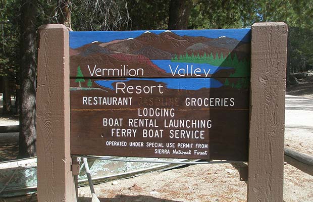
A late season hike, via Mono Pass and the Edison Ferry to Vermilion Valley Resort [VVR] in order to make a special delivery. Julie O'Neill, the author of Living Without Walls had asked me to deliver a copy of her book to Jim Clements, the owner of VVR, who we've both known for many years from our yearly hikes on the JMT.


In late September, I hiked from Mosquito Flat over Mono Pass with my newfound friend, Randy. Because of an early snow storm in the area, our journey across the Pass and descent into the Mono Creek drainage was cold and difficult. Our first night was spent near the Fourth Recess and the second at the Mott Creek Crossing. We took the morning ferry to VVR on the third day, to spend two nights of fine hospitality at the Resort, then hiked back over Mono Pass in two days.

  • The author of Living Without Walls, Julie O'Neill. The author of Living Without Walls, Julie O'Neill.
  • Relaxing at the trailhead before heading off into snow. Relaxing at the trailhead before heading off into snow.
  • Randy on the east side climb to Mono Pass from the trailhead. Randy on the east side climb to Mono Pass from the trailhead.
  • Randy in the snow on the summit of Mono Pass. Randy in the snow on the summit of Mono Pass.
  • Looking north from the Pass down to Summit Lake. Looking north from the Pass down to Summit Lake.
  • Me at the crossing of Mott Creek on the JMT. Me at the crossing of Mott Creek on the JMT.
  • VVR's welcoming sign. VVR's welcoming sign.
  • Randy talking with PCT thru-hikers: Sour Straw & Pinata. Randy talking with PCT thru-hikers: Sour Straw & Pinata.
  • Randy talking with Lisa, who with Josh was hiking the JMT. Randy talking with Lisa, who with Josh was hiking the JMT.
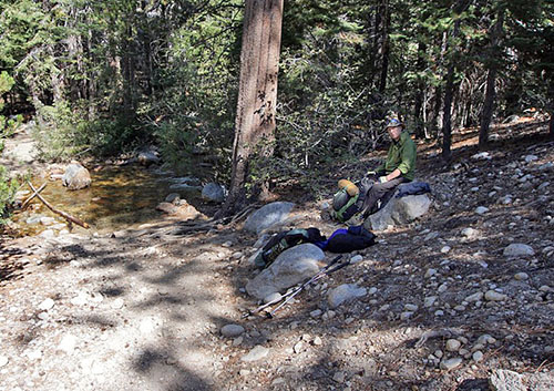
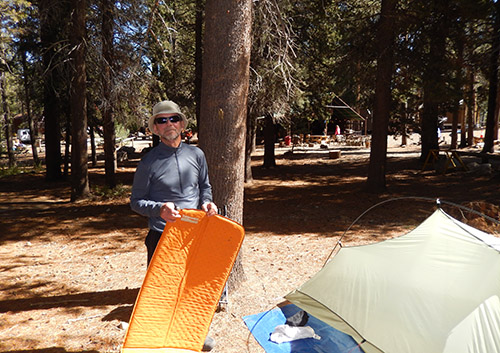
  • Randy in the morning light at VVR, packing up. Randy in the morning light at VVR, packing up.
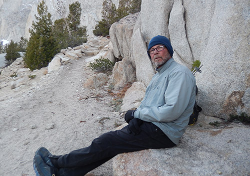
  • Randy on our way out to Mosquito Flat ... with dark closing in. Randy on our way out to Mosquito Flat ... with dark closing in.
  • Bear Spire Peak in the gathering dusk. Bear Spire Peak in the gathering dusk.
  • Me on our way out to Mosquito Flat ... with dark closing in. Me on our way out to Mosquito Flat ... with dark closing in.
{image.index} / {image.total}


Trail Angels at High Altitude - July 17


I'm out hiking the JMT from Kearsarge Pass to Taboose Pass with Ben Spillman, when to our surprise we came upon a group of Trail Angels dispensing beer and tacos below the southern approach to Glen Pass. These events are extremely rare and this was my second lucky day in crossing paths with high altitude trail angels along the JMT. The first occasion was during a southbound hike at Muir Hut, where the "Boys from the Bay" [Graham, Javin and Joe] were offering thru-hikers beer and hot-dogs for a few special days in August 2006 see my 2006 JMT page
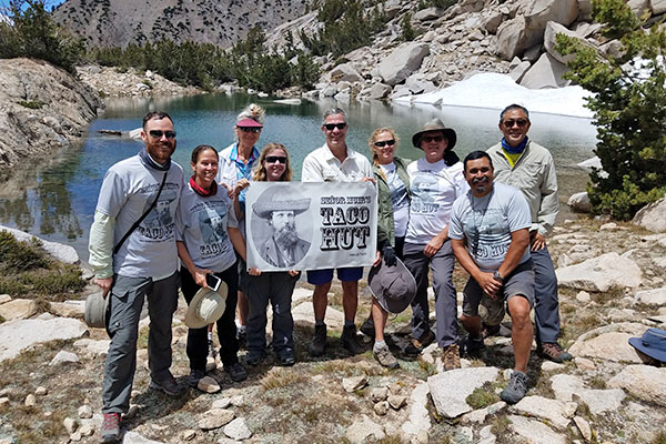
The Taco Hut folks returned to the JMT in September; to surprise thru-hikers at Purple Lake and on this occasion assisted by Ben Spillman who also recorded their unique story for the Reno Gazette Journal. The ultimate aim of Taco Hut is to provide trail snacks at Muir Hut, like the Boys from the Bay did in 2006. Permits to achieve this have been the limiting factor for Taco Hut.


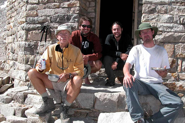
  • July 26, by Glen Pass:  The Senor Muir's Taco Hut Gang from Los Angeles July 26, by Glen Pass: The Senor Muir's Taco Hut Gang from Los Angeles
  • July 26, by Glen Pass:  The Senor Muir's Taco Hut Chef - cooking Tacos. July 26, by Glen Pass: The Senor Muir's Taco Hut Chef - cooking Tacos.
  • July 26, by Glen Pass:  The Senor Muir's Taco Hut Gang setting up. July 26, by Glen Pass: The Senor Muir's Taco Hut Gang setting up.
  • August 2006, another time, another place: Beer & hotdogs at Muir Hut. August 2006, another time, another place: Beer & hotdogs at Muir Hut.
  • July 25, campsite at the Pond above Bullfrog Lake. July 25, campsite at the Pond above Bullfrog Lake.
  • July 25, campsite at the Pond above Bullfrog Lake. July 25, campsite at the Pond above Bullfrog Lake.
  • July 26, Ben's and my tent at the joint campsite. July 26, Ben's and my tent at the joint campsite.
  • July 26, A serendipitous meeting with the O'Neill family hikers. July 26, A serendipitous meeting with the O'Neill family hikers.
{image.index} / {image.total}


Snow Avoidance Hiking: May - July 2017


On returning to Reno from the southern summer of New Zealand and Australia, I was presented with one of the heaviest snow seasons in the Sierra Nevada since 2011. Unable to hike the High Sierra trails on rock and dirt, I decided to fill in the May to July period with what I expected to be snow-free hikes from Utah to Washington. My choices were:

May - Zion and Great Basin National Parks: No snow in Zion, but plenty of visitors to the Park. No visitors, but plenty of snow in the Great Basin Park.

June
- Smith Rocks in Oregon and PCT southern Washington: No snow at Smith Rocks, but plenty of snow above 4,000' on the southern sections of the Washington PCT.

July
- PCT from Cottonwood Pass to Olanche trail, out to Sage Flat: No snow along the PCT south, but a shortage of water sources.

  • Kolob Arch accessed from La Verkin Creek - Zion National Park Kolob Arch accessed from La Verkin Creek - Zion National Park
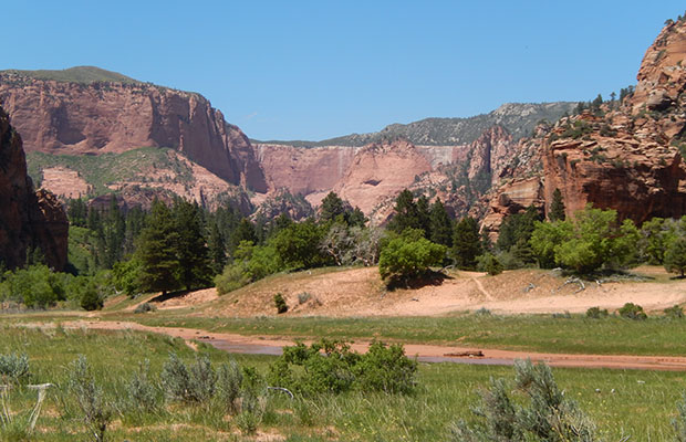
  • Looking north along the Hop Valley Trail - Zion NP Looking north along the Hop Valley Trail - Zion NP
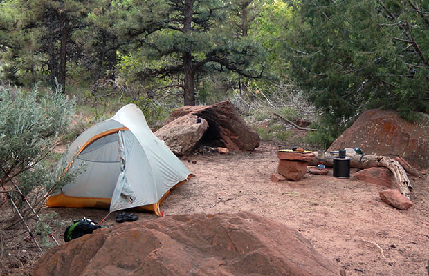
  • My campsite at La Verkin Creek - Zion NP My campsite at La Verkin Creek - Zion NP
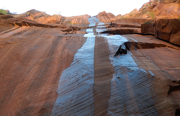
  • Thin water stream down a vertical face in the Hop Valley - Zion NP Thin water stream down a vertical face in the Hop Valley - Zion NP
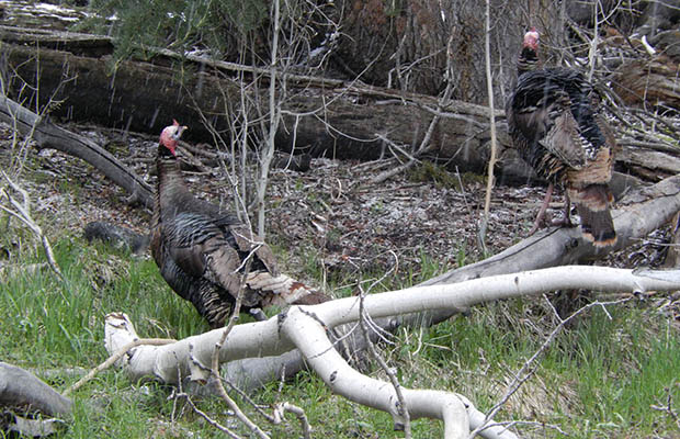
  • Wild turkeys on the Baker Creek Trail - Great Basin National Park Wild turkeys on the Baker Creek Trail - Great Basin National Park
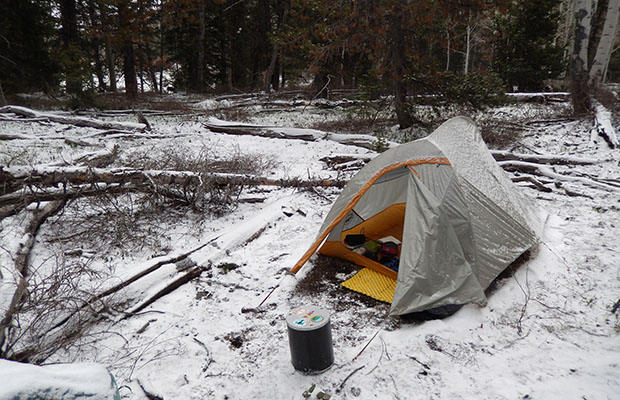
  • My cold lonely camp along the Baker Creek Trail - Great Basin NP My cold lonely camp along the Baker Creek Trail - Great Basin NP
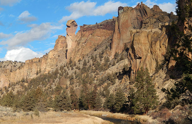
  • Monkey Face Rock in the Smith Rock State Park -Oregon Monkey Face Rock in the Smith Rock State Park -Oregon
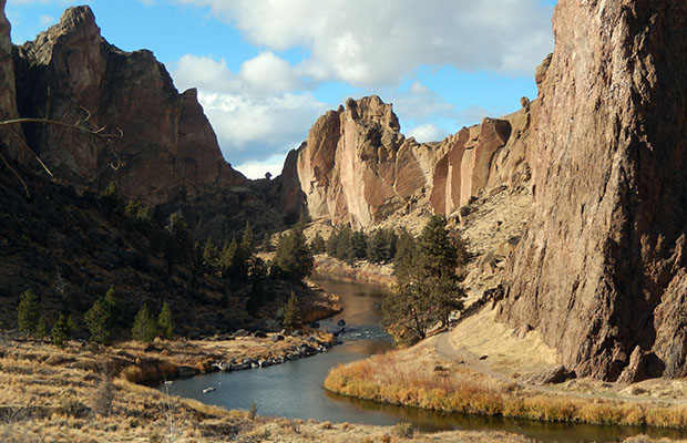
  • Crooked River in Smith Rock State Park - Oregon Crooked River in Smith Rock State Park - Oregon
  • Koala Rock [have climbed], in Smith Rock State Park -Oregon Koala Rock [have climbed], in Smith Rock State Park -Oregon
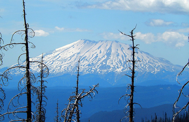
  • Mount St Helens as seen from the PCT on Mount Adams Mount St Helens as seen from the PCT on Mount Adams
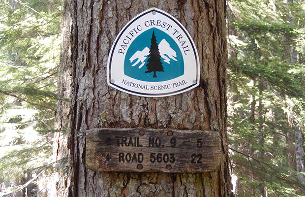
  • The PCT trailhead on the southwest corner of Mount Adams The PCT trailhead on the southwest corner of Mount Adams
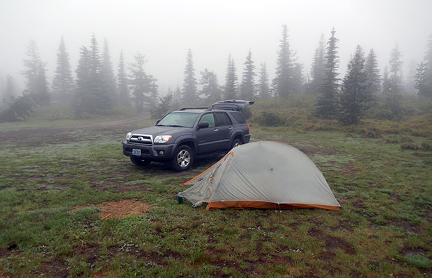
  • Parked near the PCT in southern Washington - Huckleberry Fields Parked near the PCT in southern Washington - Huckleberry Fields
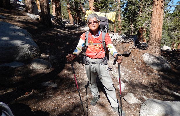
  • PCT thru-hiker from Hong Kong.  Trailname - "Crazy 71" PCT thru-hiker from Hong Kong. Trailname - "Crazy 71"
  • Owens Valley view from PCT between Diaz Mdw and Death Canyon. Owens Valley view from PCT between Diaz Mdw and Death Canyon.
  • High point campsite on PCT 4 miles north of Death Canyon. High point campsite on PCT 4 miles north of Death Canyon.
  • Bear Trap Creek campsite at west end of Summit Meadow. Bear Trap Creek campsite at west end of Summit Meadow.
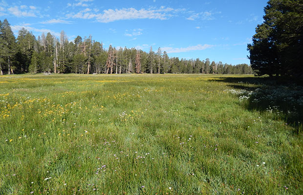
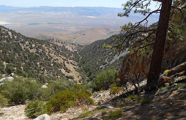
  • Summit Meadow along the trail from PCT to Sage Flat Summit Meadow along the trail from PCT to Sage Flat
  • Looking down to Sage Flat trailhead from the Olanche trail. Looking down to Sage Flat trailhead from the Olanche trail.
{image.index} / {image.total}


Bibbulmun Track: West Australia - Feb 17


The Bibbulmun Track is described as being "one of the world's great long distance walk trails, stretching 600 miles from Kalamunda, near Perth, to Albany through the heart of the scenic south west of Western Australia. Along the way 48 state-of-the-art campsites provide facilities unmatched in the southern hemisphere. The Track is very accessible, allowing for short family walks, today walks to overnights, to going end to end.
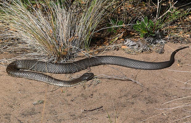
Between 2003 and 2008, I'd walked many sections of the Bibbulmun along the Southwest Coast, and decided this year to retrace my steps, from Mandalay Bay to Albany. On most of the hike I was accompanied by my grandson, Regan, who provided solid protection from numerous Tiger Snakes by taking the lead position!

  • The highly venomous, and prolific Western Tiger Snake on the Track. The highly venomous, and prolific Western Tiger Snake on the Track.
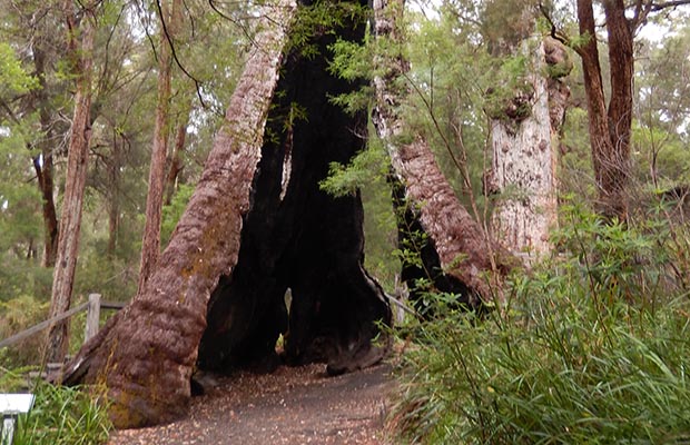
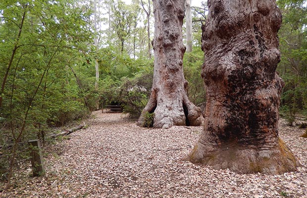
  • The Giant Red Tingle tree near Walpole The Giant Red Tingle tree near Walpole
  • Red Tingle trees near the Mount Clare Shelter Red Tingle trees near the Mount Clare Shelter
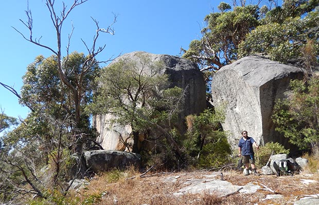
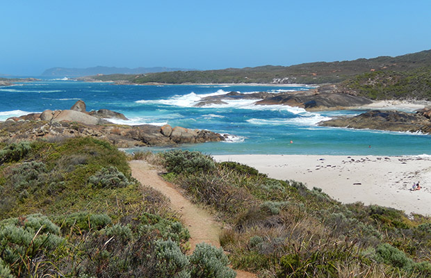
  • The large granite boulders above Madfish Bay The large granite boulders above Madfish Bay
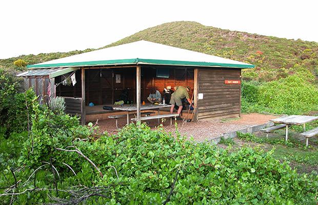
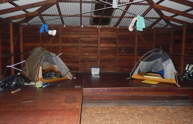
  • A typical Bibbulmun Shelter, this one at Boat Harbor. A typical Bibbulmun Shelter, this one at Boat Harbor.
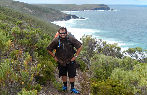
  • Regan on the Track with West Cape Howe in the background. Regan on the Track with West Cape Howe in the background.
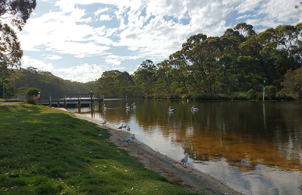
  • The Denmark Rivermouth that runs into Wilson Inlet The Denmark Rivermouth that runs into Wilson Inlet
  • Using the inner sections of our tents as mosquito nets in the Shelters. Using the inner sections of our tents as mosquito nets in the Shelters.
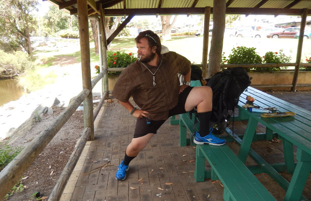
  • Regan showing off his newly acquired hiking shoes in Denmark. Regan showing off his newly acquired hiking shoes in Denmark.
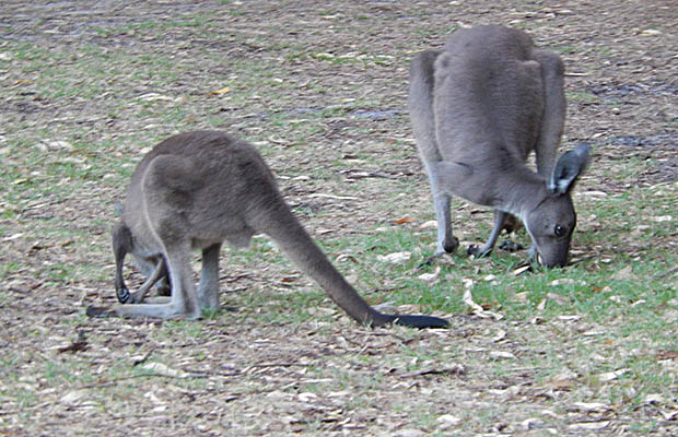
  • Kangaroos at our campground near Ocean Beach. Kangaroos at our campground near Ocean Beach.
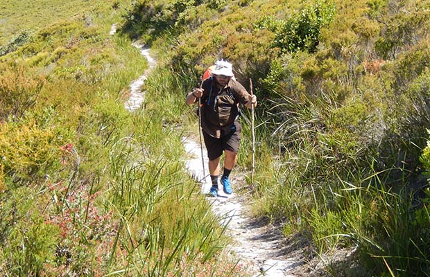
  • Regan and his grandfather [Tinman] on the Track. Regan and his grandfather [Tinman] on the Track.
  • Regan on the section between West Cape Howe and Torbay shelters Regan on the section between West Cape Howe and Torbay shelters
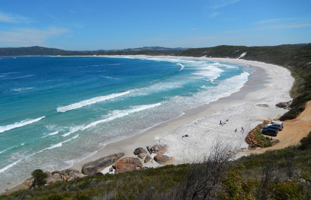
  • The surf at Lights Beach. The surf at Lights Beach.
  • Looking west along Muttonbird Beach to Torbay Looking west along Muttonbird Beach to Torbay
  • End of the Track - the windmills of Albany End of the Track - the windmills of Albany
{image.index} / {image.total}


The Forever Rain: New Zealand - Mar 17


Returning to New Zealand for further adventures in the Beech Forests of of the South Island was a questionable choice in view of the difficult trail conditions I'd experienced in 2016. See my story at: Off the Beaten Track in New Zealand

In Late March, I planned to attend an Air Force Vietnam reunion in Tauranga on the North Island, so decided to include some easy hiking close to the area I'd struggled across the previous year. This time, I chose to hike the Saint James Walkway, a popular 45 mile circuit that begins and ends on the Lewis Pass highway. There are adequate huts along the trail that provide excellent shelter from the expected rain, but getting between the huts is hard work because of the rough trails. Averaging 10 miles per day I completed the circuit in 4.5 days, with only one day of constant heavy rain.

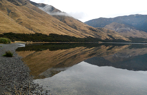
Later, I attempted to hike into Lake Sumner from a backcountry road I remembered from my Air Force survival training days in the 1960's. Sadly, after reaching Lake Katrine campsite, it began raining, a constant rain that lasted for three days. I finally retreated from this miserable environment with no intention of returning in future years.

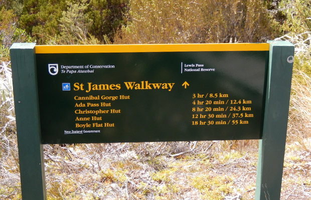
  • The St James Walkway sign at the northern trailhead. The St James Walkway sign at the northern trailhead.
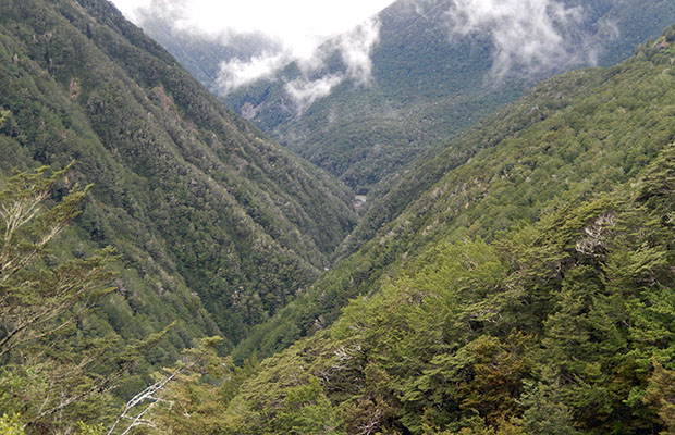
  • Looking down into the formidable Cannibal Gorge. Looking down into the formidable Cannibal Gorge.
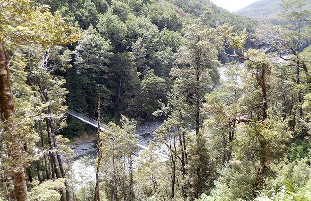
  • The suspension bridge across the bottom of Cannibal Gorge. The suspension bridge across the bottom of Cannibal Gorge.
  • The trail to nowhere ... an old washout that's not been repaired. The trail to nowhere ... an old washout that's not been repaired.
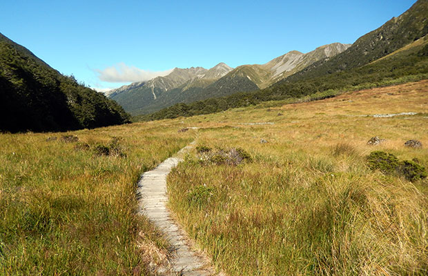
  • An easy going section of the trail down to Christopher Hut. An easy going section of the trail down to Christopher Hut.
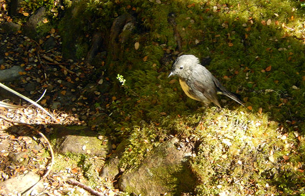
  • The rarely seen South Island Robin. The rarely seen South Island Robin.
  • The suspension bridge [in bad repair] leading to Anne hut. The suspension bridge [in bad repair] leading to Anne hut.
  • The recently replaced Anne Hut ... if only the trails were similar? The recently replaced Anne Hut ... if only the trails were similar?
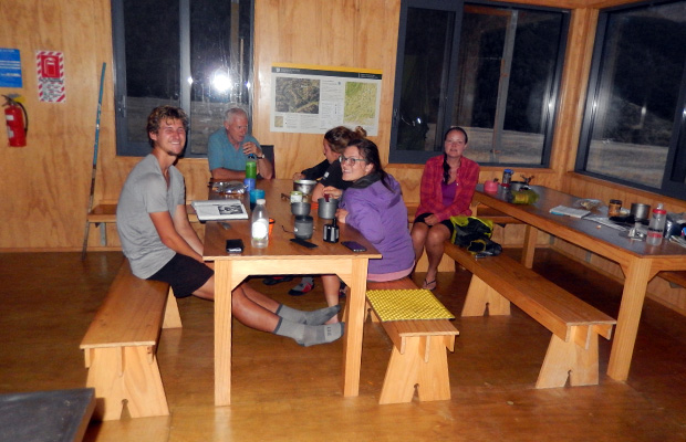
  • My night at Anne Hut with a group of young German hikers. My night at Anne Hut with a group of young German hikers.
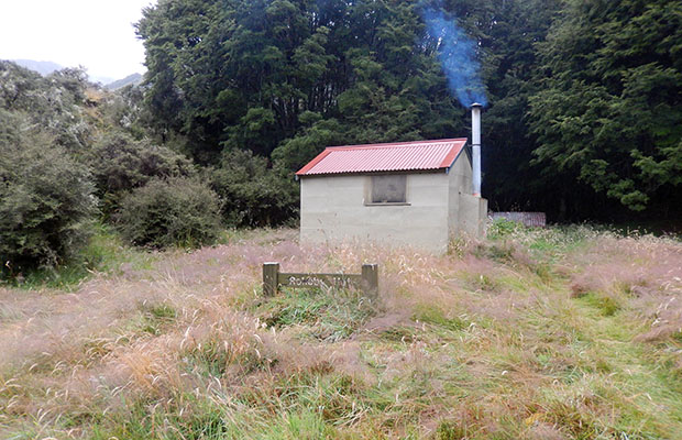
  • Rokeby Hut ... the refuge that saved me from hypothermia. Rokeby Hut ... the refuge that saved me from hypothermia.
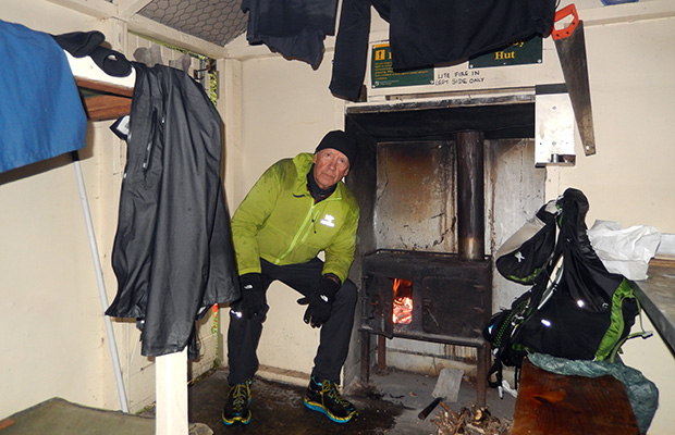
  • Recovering from hypothermia inside Rokeby Hut. Recovering from hypothermia inside Rokeby Hut.
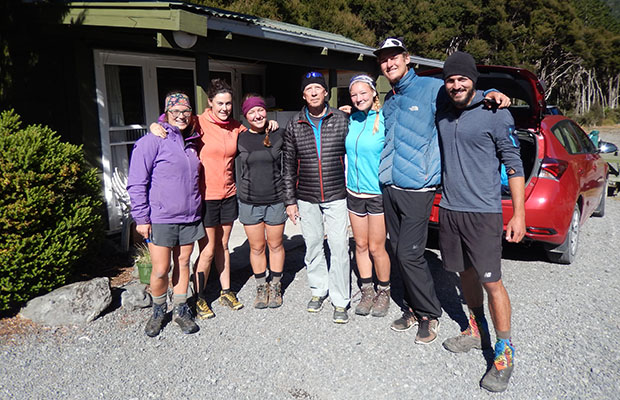
  • With the German long distance hikers at Boyle River Settlement. With the German long distance hikers at Boyle River Settlement.
  • Lake Katrine from my campsite ... in between rain-showers. Lake Katrine from my campsite ... in between rain-showers.
{image.index} / {image.total}


Go to Home Page

Go to Latest News 2018


latest news2020 | latest news2019 | latest news2018 | latest news2017 | home | main players | contact us | sierra nevada | jmt access map | jmt planning | 2024equipment | jmt schedules | jmt2016 | jmt 2015 | jmt 2014 | jmt 2013 | jmt 2012 | jmt 2011 | jmt 2010 | jmt 2009 | jmt 2008 | jmt 2007 | jmt 2006 | jmt 2005 | jmt 2004 | jmt 2002 | mt agassiz | mt sill | mt shasta | matterhorn peak | mt egmont | nz 2016 | mt rainier | mt shuksan | mt jefferson | pct sonora nth | pct tm nth | pct wa nth | mt baker | wonder trail | mera peak | mt adams | goat rocks | cascades 2003 | mt whitney | kaibab trail | presidents | antarctica | hoover pct | recesses | highrte2015 | highrte2016 | denali89 | benson lake | videos mp4 | tremaynes |