
Mount Agassiz Climbs: 1993 & 2003
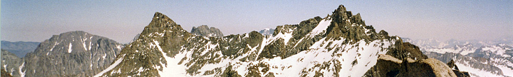
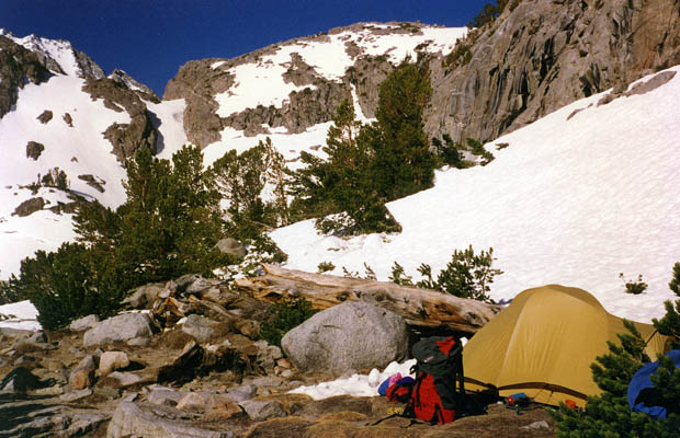
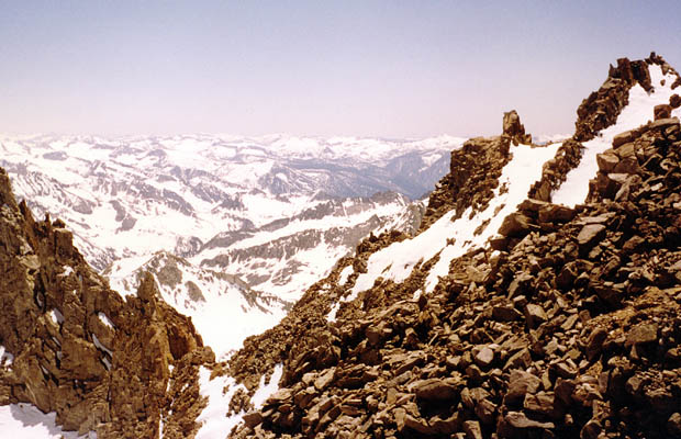
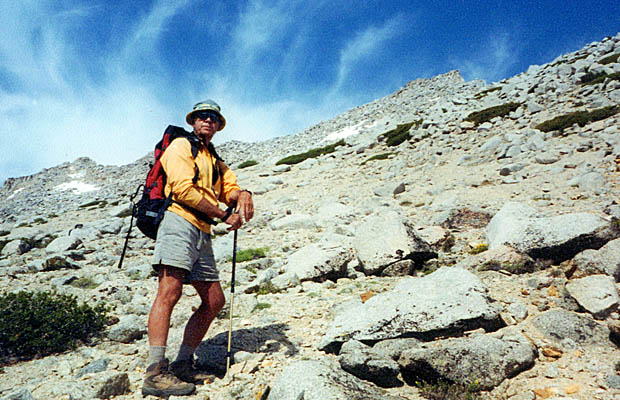
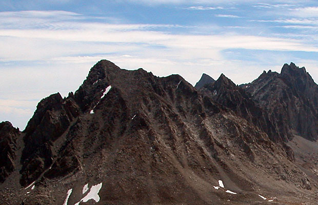
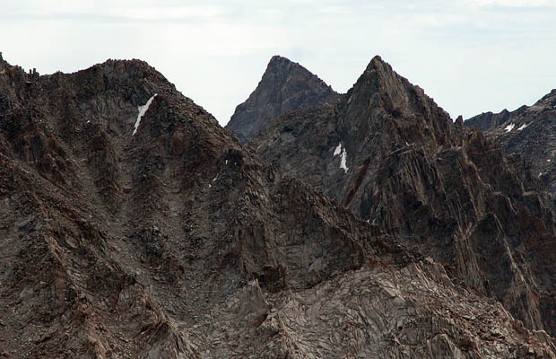
June, 1993: The snow was a problem on the Big Pine Creek North Fork trail. I camped the first night at the creek crossing, not far from the trailhead. The following day I climbed above Sam Mack Meadow to a rock outcrop near the still frozen Sam Mack Lake; happily dumped my heavy pack and set up what became a pleasant base camp for five days. During my first outing on the Palisade Glacier I did a recce of the area below Mt Agassiz. Studied the southeast ... Class 3, couloir for this peak and then traversed across to the southeast side of Agassiz Col, a Class 3 crossing into Dusy Basin. Relatively easy from where I’d come from, but the descent into Dusy Basin looked a little desperate ... steep, with much loose rock.
I also studied the Class 3 route up Mt Winchell, which appeared rather exposed on the lower snow sections. |
|
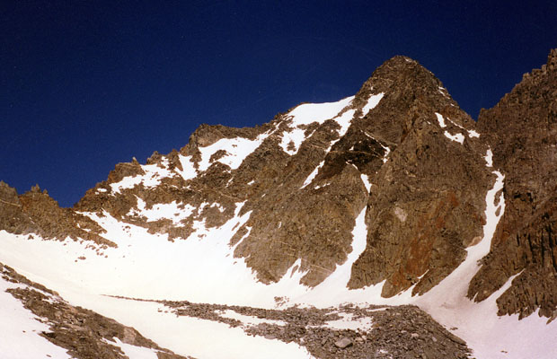
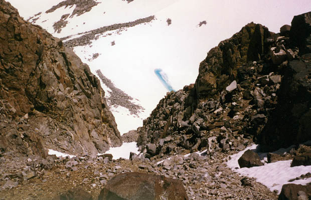
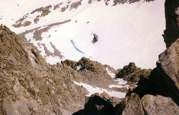
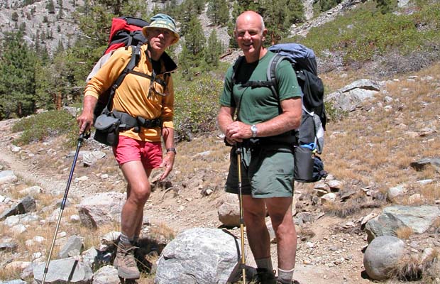
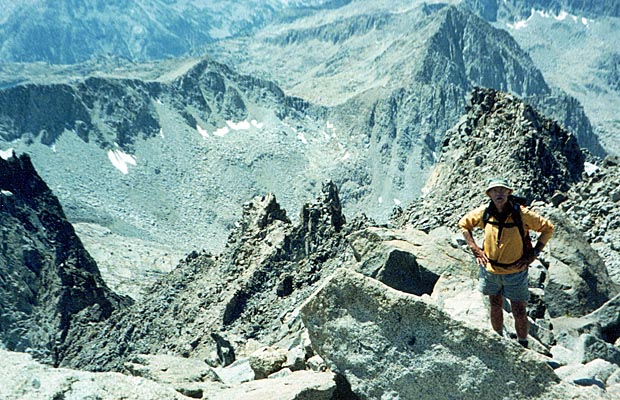
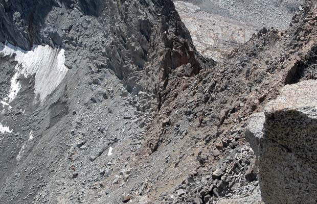
The snow was hard, necessitating some front-pointing on crampons and I quickly became aware of the potential avalanche danger in the gully… snow, rocks or both! After 1,000’ of snow, it was crampons off and scrambling up steep loose rock. The moves then were relatively easy; mixed rock and occasional snow patches until reaching a ridge that took me amazingly to the summit. Couldn't believe it; I’d not been that sure of actually standing on top of Agassiz at 13,900'. The easy route for this peak was clearly visible, leading down to Bishop Pass and the well used trail that crosses from South Lake to Dusy Basin. The route that I would later use in 2003. During August of 2003, in the company of Jeff Warner, I’d planned to hike the ‘JMT Circuit’ from North Lake to South Lake. The total distance of this very popular route is 56 miles, with elevations of 11,300' at Piute Pass, 12,000' at Muir Pass and 11,900' at Bishop Pass. The lowest point is 8,100’ at the trail intersection of Piute Pass and the JMT. I'd reckoned on completing the trip in five days and we provisioned accordingly. Shortly into the hike, we learnt from other groups also doing the circuit, that their plans called for at least seven days. I initially dismissed these folks as idle sightseers, but as our daily efforts to make the required mileage turned into forced marches, their relaxed itineraries began to make a lot of sense. |
|
|
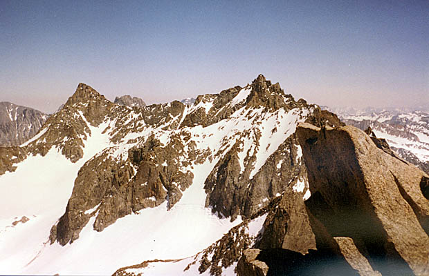
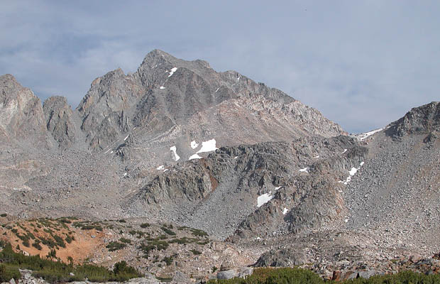
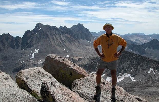
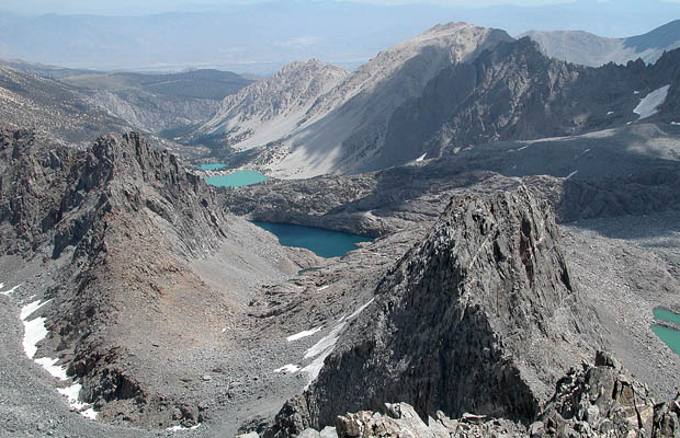
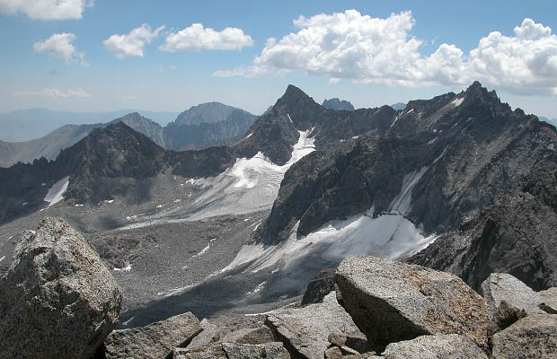
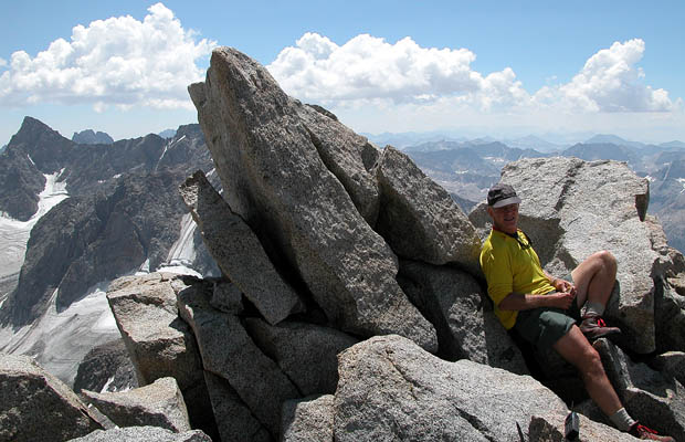
In the event, we did complete the trip in five days and benefited from the hard exercise as a preparation for our second adventure. After a three day break at Parchers Resort, we hiked back to a location near Bishop Lake; camping at an elevation of 11,400’ and made plans to climb two major peaks in the area. The first was Goode Peak --13,100', an easy scramble up the southeast slope to an impressive exposed summit. Our second ascent was on Mount Agassiz--13,900'. We scrambled up the talus covered west slope to a summit that provides great views of the Palisade Glacier and the 14,000' peaks that surround it: Sill, Polemonium, North Palisade and Thunderbolt.
©PeterTremayne, Reno, 2012 |
Back to Top
latest news2020 | latest news2019 | latest news2018 | latest news2017 | home | main players | contact us | sierra nevada | jmt access map | jmt planning | 2024equipment | jmt schedules | jmt2016 | jmt 2015 | jmt 2014 | jmt 2013 | jmt 2012 | jmt 2011 | jmt 2010 | jmt 2009 | jmt 2008 | jmt 2007 | jmt 2006 | jmt 2005 | jmt 2004 | jmt 2002 | mt agassiz | mt sill | mt shasta | matterhorn peak | mt egmont | nz 2016 | mt rainier | mt shuksan | mt jefferson | pct sonora nth | pct tm nth | pct wa nth | mt baker | wonder trail | mera peak | mt adams | goat rocks | cascades 2003 | mt whitney | kaibab trail | presidents | antarctica | hoover pct | recesses | highrte2015 | highrte2016 | denali89 | benson lake | videos mp4 | tremaynes |