
The 2009 PCT/John Muir Trail Hike
|
|
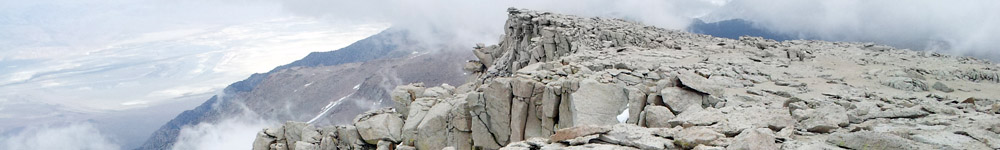
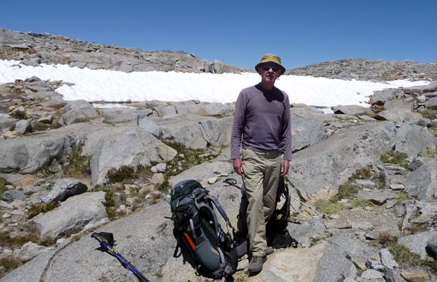
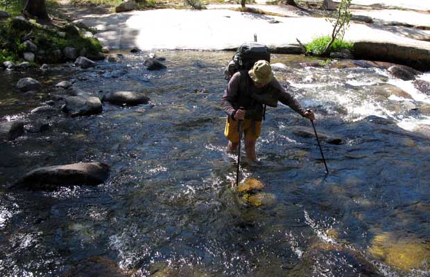
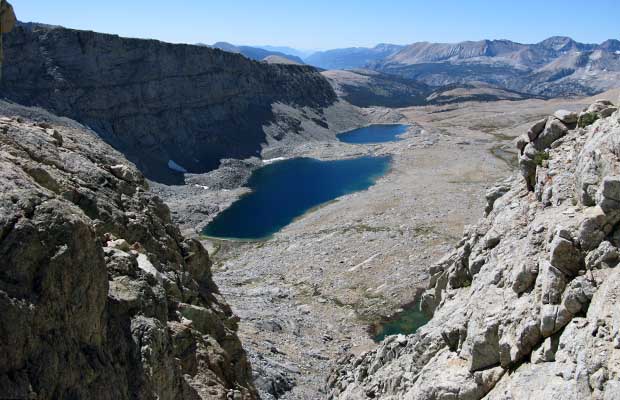
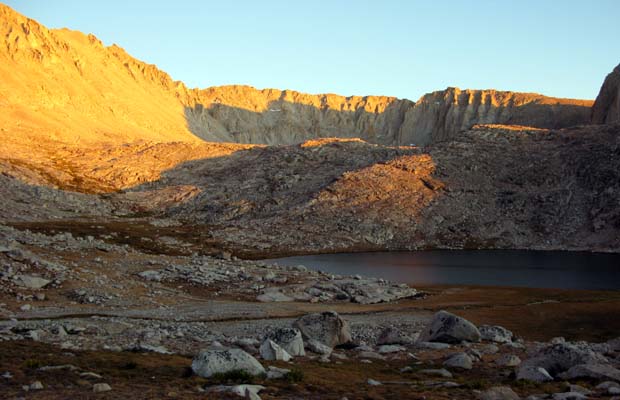
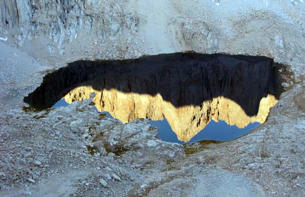
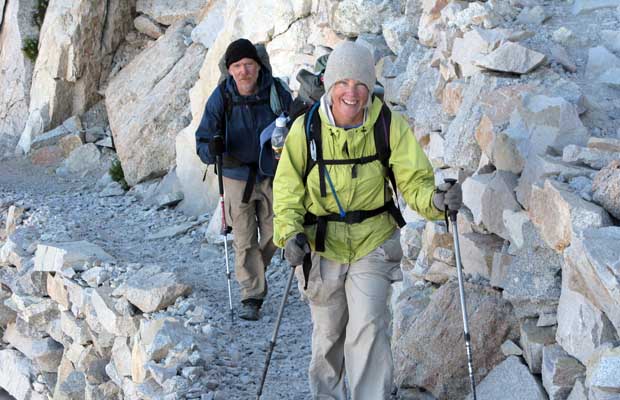
2009 JMT/PCT Hike with MalThis year’s activity along the JMT and a section of the PCT was a departure from previous hiking forays in the High Sierra. My first trip took place in mid-July, in the company of Mal Hill, northbound from Red’s Meadow. Our plan was to follow the Sierra High Route from Minaret Lake to Tuolumne Meadows … an off-trail scramble across steep, difficult terrain. Despite antibiotic treatment, the debilitating effects remained as we began our trip north on the JMT. It quickly became obvious we lacked the stamina and energy reserves to tackle off-trail travel, so the mutual decision to continue hiking the JMT, versus taking a left turn towards Minaret Lake was a no-brainer. So, on the first night out we found ourselves camped at Rosalie Lake wreathed in a miasma of voracious mosquitoes.
|
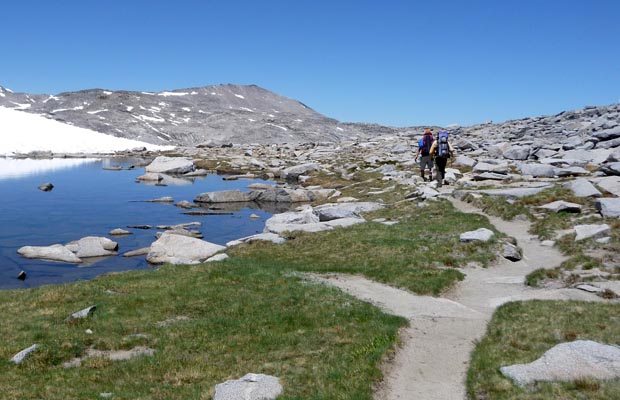
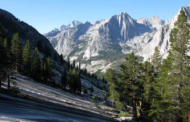
Subsequent camps, at Island Pass, upper Lyell canyon, Tuolumne Meadows and finally in the northern section of Cold Canyon, resulted in nights of similar misery. An old lesson relearned: Don’t go hiking in the Sierras too early in the summer or before the last of the snow melt in the high meadows. On the sixth day of this rather unpleasant trip, we stumbled out of the mountains and Yosemite NP at Virginia Lakes Resort.
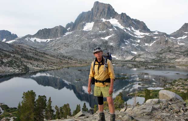
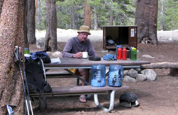
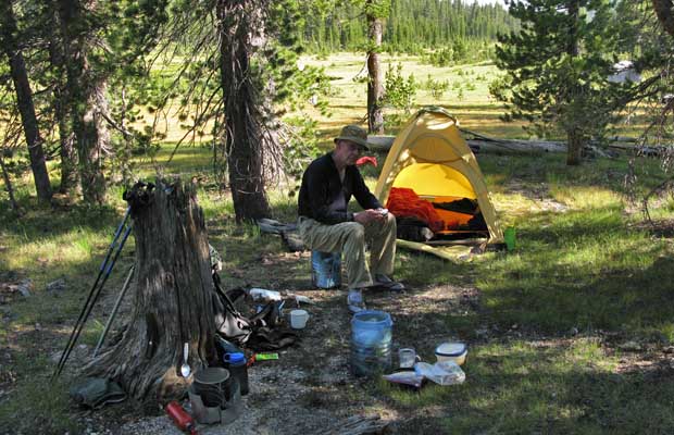
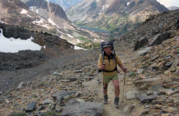
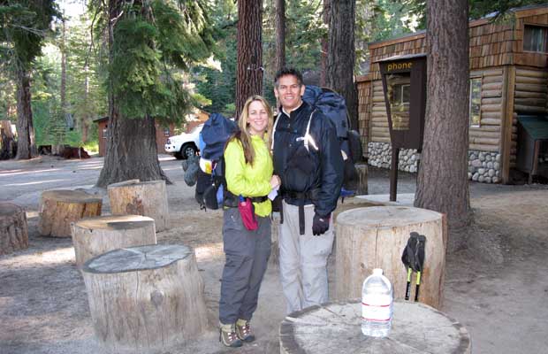
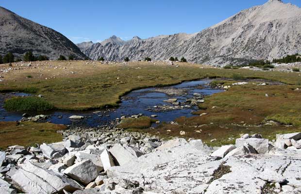
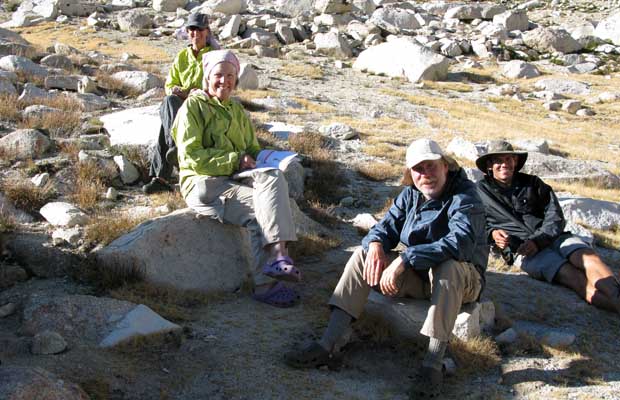
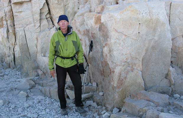
2009 JMT HikeMy second trip was another solo attempt (having failed in 2008) to hike the JMT from Yosemite NP to the summit of Whitney, with a start date of August 20. Jim Keogh agreed to accompany me on the first three days, planning to leave the Trail at Reds Meadow. During those three days, we made friends with a number of fellow JMT hikers who would later make appearances at intervals further down the trail, including a final meeting on the summit of Whitney three weeks later. Unexpected rain greeted us at Red’s Meadow; Jim returned to work and I used the wet weather as an excuse to take a rest day in Mammoth. On August 24, I was back on the Trail, southbound solo from Red’s Meadow, sometimes overtaking other hikers but more often being overtaken by folks I’d met in the first few days of the hike. Many stopped to camp at Duck Creek, but I staggered on the next few miles to Purple Lake for a long peaceful sleep in the cool moist aftermath of the recent rain. The following days travel over Silver Pass, Selden Pass, Muir Pass, down into Le Conte Canyon and finally the climb out to South Lake over Bishop Pass, were lonely affairs. Of the acquaintances’ from the first days, some had stopped for one or two nights at VVR and the fleet of foot were well ahead of me down the Trail. |
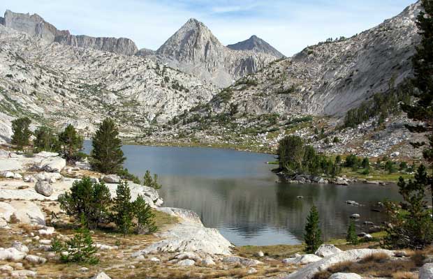
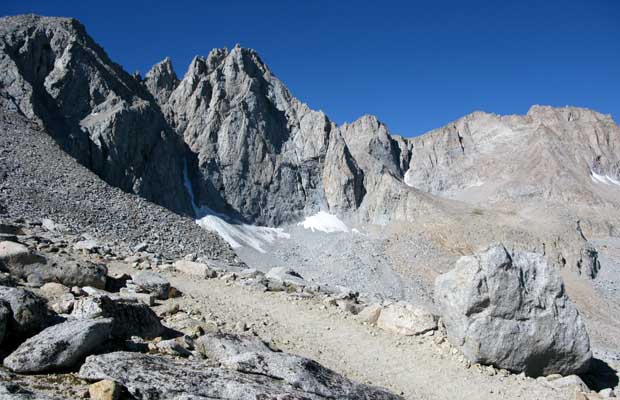
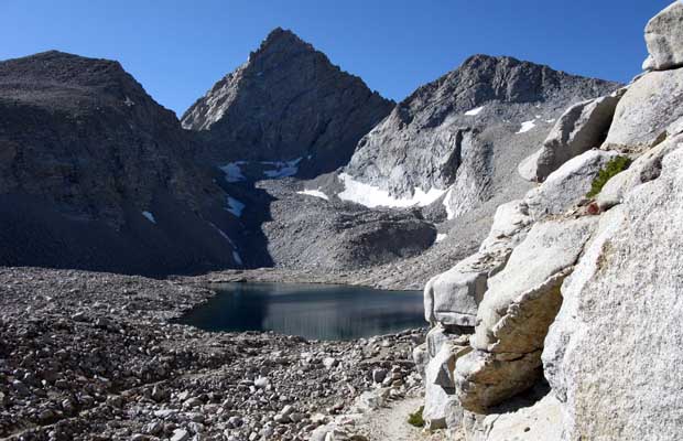
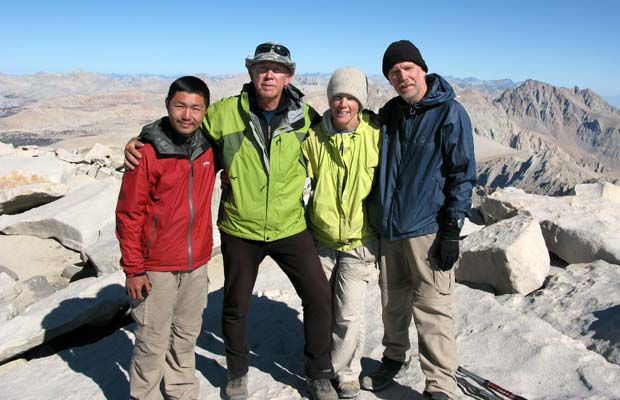
As on previous JMT through-hikes, the purpose of exiting at South Lake was for resupply, but due to a combination of problems which included a resurgent sinus infection, associated breathing difficulties and dissatisfaction with my solo pack weight, I decided to drive home to Reno for medical treatment and to reorganize. After a few days dosing on Methylprednisolone I felt well enough to return to the Trail and decided that in order to maintain the schedule of my JMT Permit … and limit my pack weight to what I considered manageable at my reduced fitness level, I’d skip the Le Conte to Glen Pass section of the Trail, thereby saving four days of travel toward the final goal of Mt. Whitney. On September 4, I drove to Onion Valley and hiked over Kearsarge Pass to spend the night in the Bullfrog Lakes area. Subsequent nights were spent at the Forester high camp, Wright’s Creek crossing and Guitar Lake before climbing Whitney on the early morning of September 8 and then descending to Whitney Portal that afternoon. During this last day on the Trail and on the summit of Whitney, I was delighted to meet again some fellow hikers last seen at Red’s Meadow.
|
|
Return to Top
latest news2020 | latest news2019 | latest news2018 | latest news2017 | home | main players | contact us | sierra nevada | jmt access map | jmt planning | 2024equipment | jmt schedules | jmt2016 | jmt 2015 | jmt 2014 | jmt 2013 | jmt 2012 | jmt 2011 | jmt 2010 | jmt 2009 | jmt 2008 | jmt 2007 | jmt 2006 | jmt 2005 | jmt 2004 | jmt 2002 | mt agassiz | mt sill | mt shasta | matterhorn peak | mt egmont | nz 2016 | mt rainier | mt shuksan | mt jefferson | pct sonora nth | pct tm nth | pct wa nth | mt baker | wonder trail | mera peak | mt adams | goat rocks | cascades 2003 | mt whitney | kaibab trail | presidents | antarctica | hoover pct | recesses | highrte2015 | highrte2016 | denali89 | benson lake | videos mp4 | tremaynes |