
The 2002 John Muir Trail Hike
|
|
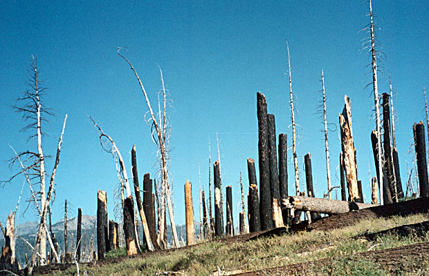
My intent was never to walk the John Muir Trail (JMT) solo. From early this year, it was tentatively agreed with Jeff Warner and Pat Jenkins, the three of us that hiked the PCT from Steven’s Pass to Stehekin last year, that we would walk the JMT this summer. The start date was locked to August 15, with a permit for three to depart Tuolumne Meadows in the Yosemite National Park, southbound on the JMT, wih an approximate completion date of September 31 on thesummit of Mt. Whitney. We spent the first night on the slopes of Mt. Shasta at the Bunny Flat trailhead (7,000 feet); a good altitude adjustment for the days ahead. The next day had us at the Shady Rest campground in Mammoth Lakes township (8,000 feet).
|
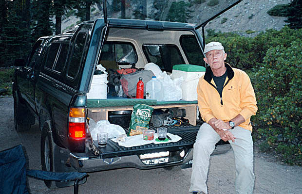
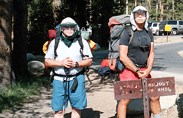
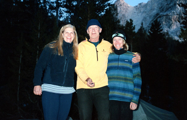
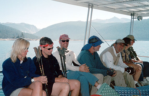
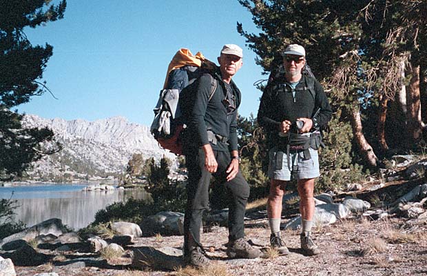
On August 14, we positioned my truck at Whitney Portal, for our eventual exit there at the end of the month. We then drove back to the Shady Rest that afternoon in Pat’s SUV, where we were joined by Jim Keogh, whom I'd invited to fill the empty permit slot from Yosemite, south on the JMT to Reds Meadow. He would then exit to Mammoth to pick up his car and Pat and I would continue on the JMT. |
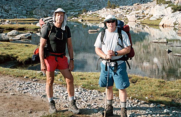
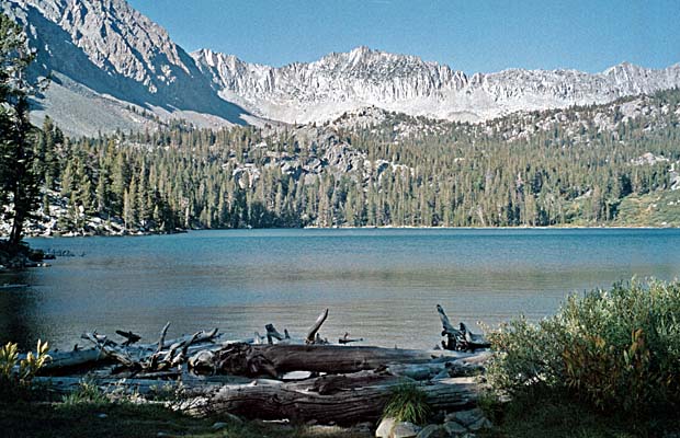
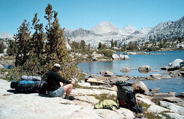
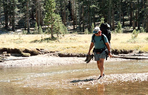
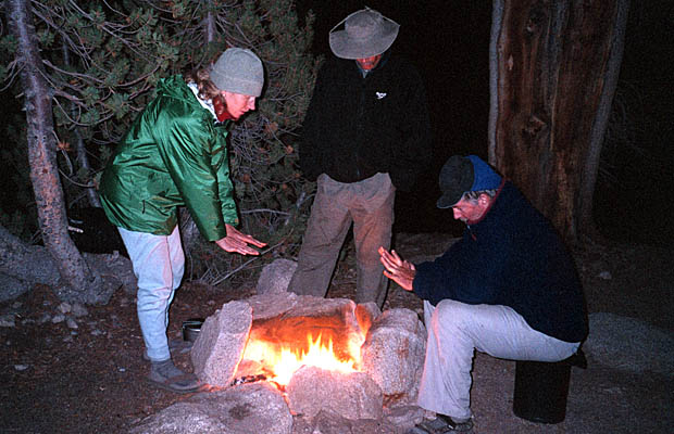
However, the first two days of the journey resulted in me going it alone for the remaining sixteen days; from Reds Meadow to Mt. Whitney. Jim left as planned from Mammoth, but so did Pat; suffering from severe sinus problems and lack of sleep. And so it was with some sadness, trepidation, doubts and a much heavier pack than planned, that I headed south from Reds Meadow on August 18th. That first night "solo", I shared a campsite at Purple Lake with two lovely ladies from the Bay Area; Hillary and Heather, on their first ever backpacking trip and making a fine effort at the task. I moved ahead the next morning, spending that night at Pocket Meadow, a short distance from the Vermilion Valley Resort (VVR) ferry pickup point on Lake Edison. |
|
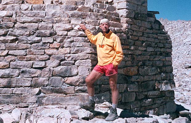
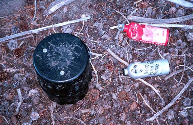
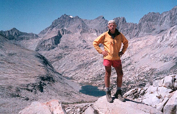
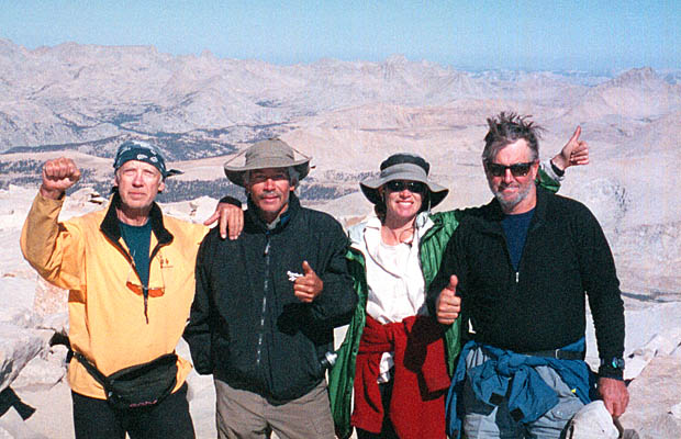
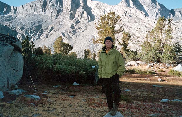
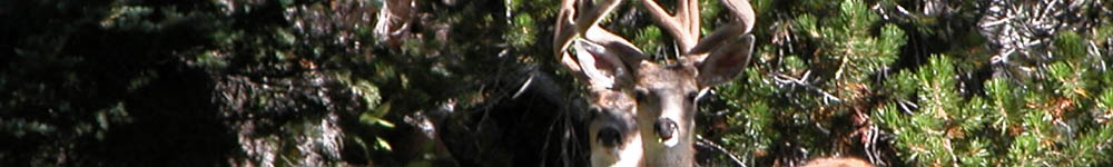
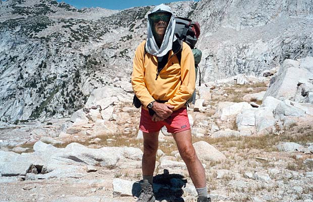
Anyway, after leaving Vermilion Valley Resort (VVR) that next morning, Jim and I teamed up for the remainder of what became an Incredible Journey. He's younger than me (54), but had a much heavier pack, so we were able to move along at similar speeds, finally stabilizing at a sensible 10 miles per day. He'd also studied the up and down profile in much more detail than I and had formulated a pattern of camping below Passes each PM, climbing them in the cool and fitness of the mornings and then falling down the other side in the hot afternoons. A good plan, particularly since the really high Passes are about 10 miles apart. I'd placed a cache of food and fuel below Bishop Pass and close to the JMT/PCT. It required a climb of 800' from the trail intersection, which I did in fine style ... completely out of food and darn hungry! The cache had been there for almost three months, giving the local bear herd plenty of time to vent their frustration on the bear canister holding the food, which they didn't penetrate and the two gasoline fuel cans, which they did. So, the food was intact, including some added (Clif Bars) by Good Samaritans who'd found the chewed fuel cans and figured I'd need the extra sustenance to walk out to Bishop for fuel. I have their email address and will be thanking them accordingly. Not to be delayed, I grabbed the food and then scrounged some fuel off two departing climbers that I passed on the descent back to the JMT (you can always depend on climbers ... a good class of people!). Thank Heather for the use of her nail clippers at VVR. In my quiet panic to save weight when I knew I'd be doing the JMT solo, I tossed my essential clippers for fingers and toes ... must have items for long distance hiking. Everything else I carried, I used; sleeping cold on a few high altitude nights and running out of daily calories because of food rationing. They say you burn at least 4000 cals/day on the PCT, so probably 4500 to 5000 on the JMT section. My daily intake for the last 10 days was no more than 1800 cals, so it's no surprise that I lost 15 lbs. A great and guaranteed weight loss program! Stood on the summit of Mt. Whitney at 9:30 am on Sunday, September 1; one day later than scheduled, but in pretty good shape for a 63 year old. Probably 15 lbs. lighter than I'd started (me, not the darn pack ... it was still dragging me down), no blisters, no sprains, no bear mauling scars and bloody fit! Check out the 2002 JMT Schedule
©Peter W Tremayne Vancouver, WA October, 2002 |
Return to Top
latest news2020 | latest news2019 | latest news2018 | latest news2017 | home | main players | contact us | sierra nevada | jmt access map | jmt planning | 2024equipment | jmt schedules | jmt2016 | jmt 2015 | jmt 2014 | jmt 2013 | jmt 2012 | jmt 2011 | jmt 2010 | jmt 2009 | jmt 2008 | jmt 2007 | jmt 2006 | jmt 2005 | jmt 2004 | jmt 2002 | mt agassiz | mt sill | mt shasta | matterhorn peak | mt egmont | nz 2016 | mt rainier | mt shuksan | mt jefferson | pct sonora nth | pct tm nth | pct wa nth | mt baker | wonder trail | mera peak | mt adams | goat rocks | cascades 2003 | mt whitney | kaibab trail | presidents | antarctica | hoover pct | recesses | highrte2015 | highrte2016 | denali89 | benson lake | videos mp4 | tremaynes |