
Latest Tales from the Tinman -2021
Email Contact: tinknees@charter.net
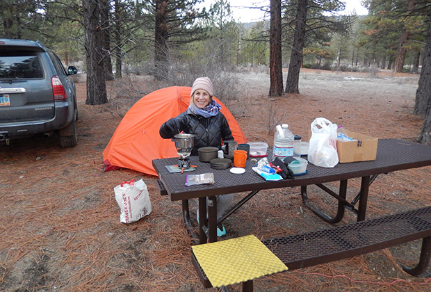
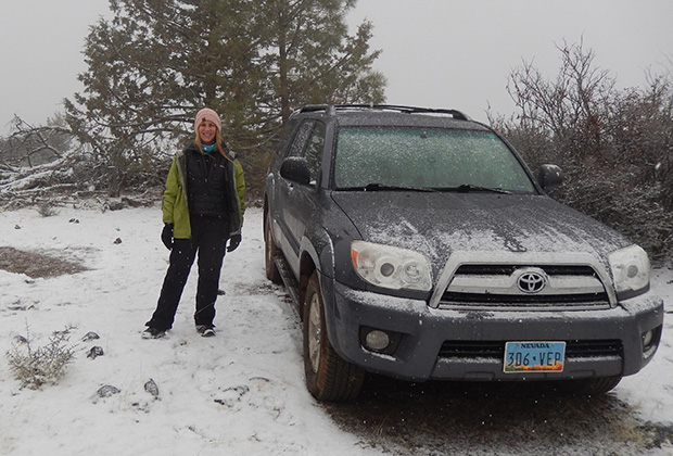
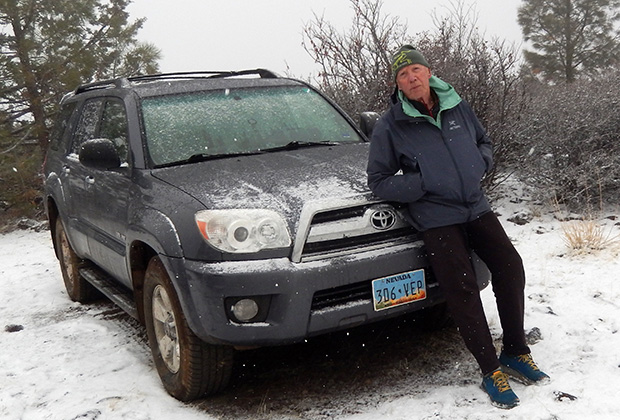
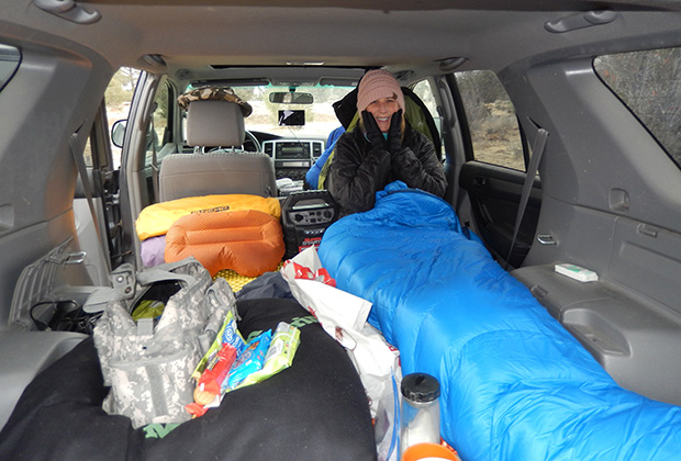
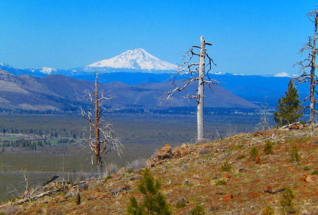
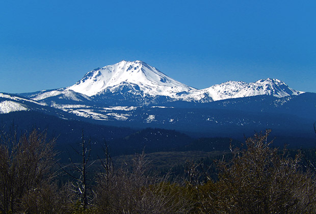
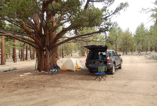
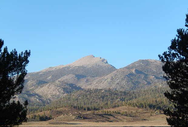
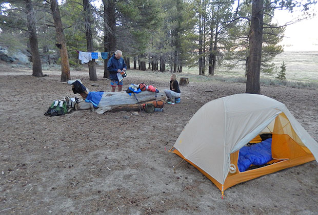
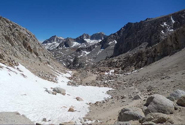
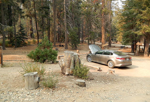
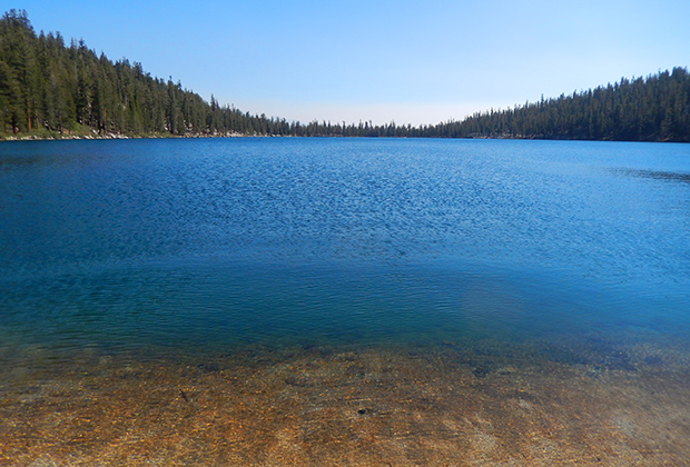
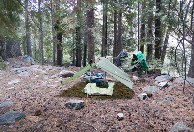
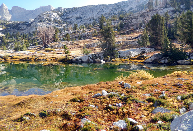
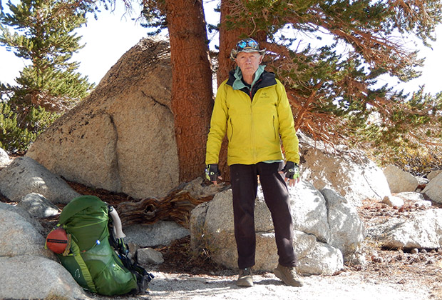
Along the PCT Hat Creek Rim in Northern California |
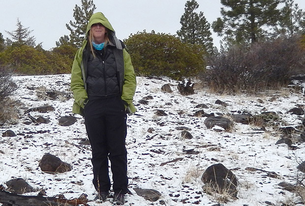
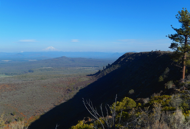
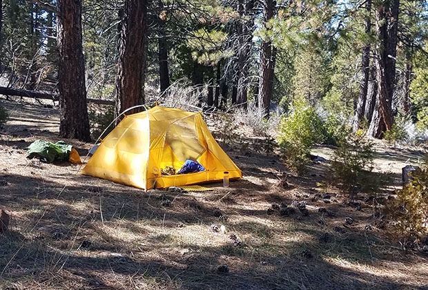
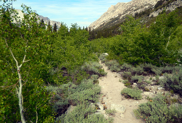
This year's backpacking began in mid-February, returning to the PCT section along the Hat Creek Rim in northern California. I had convinced Carla, aka Gabby, to accompany me on this early season adventure, optimistic that ground cover snow would not be a problem on the Trail from Old Station to Cassel. With my previous experience that water along this section was limited, we drove the parallel forestry road, placing one-gallon drinking water containers at locations where we expected to camp. This included hiding a bear canister of food near Road 22. Using only one vehicle, which we would leave at Old Station, the plan was to hike along the Rim to above Cassel, then return on the same route over five days. Although expecting light snow on the ground or showers, mid-February in northern California still had a Winter climate with forecast temperatures down to 18-degrees at night. We were equipped with four-season tents to handle these conditions: an MSR Access for Carla and Gore-Tex FairyDown for me. The tents proved themselves the first night, car-camping behind the Gas Station near the intersection of Hwy 44 and 89. Waking in a freezing morning, the local forecast was for occasional snow showers, so I decided to drive onto the Rim using Road 22 and wait out the expected snowfall near Cache 22. Two hours later, in minor blizzard conditions, we decided to bail out and drive back to Reno, collecting the cached water containers on the way along the parallel forest road to Hwy 44. My Toyota 4-Runner 4WD did an excellent job handling the snow-covered forest roads, despite taking some wrong turns, but we did have trouble finding all the camouflaged water containers. I explained to Carla that I would return sometime in March for another attempt along the Rim, with better weather, and find and use the containers then. Six weeks later, I did return to the Rim, sadly without the company of Carla. My hiking plan was basically the same as before, using only one vehicle, based at Old Station, and making a round trip from there to above Cassel. There would be no snow on the ground, and none expected, so it would be a lightweight hike with stashed water and food hidden along the parallel road. Blessed by good weather, warm days, cool nights, and a superlight backpack, the hiking was easy and enjoyable. Unfortunately, I’d chosen a water/food cache site below the Rim Lookout Tower that was close to a public road in the belief that my associated campsite would not be visible from the road. However, with the surprise appearance of a beat-up pickup truck and its quick return past my location, I began having doubts that my tent was hidden from view? Being in a setting of isolation, I went into full defense mode, expecting these rough-looking characters to return after dark. Unwisely, I had left my handgun in the vehicle parked back at Old Station, so I planned to find a hidden location within sight of the tent and my finger near the panic button (SOS activation) of my Garmin Inreach device. It was a long, vigilant, sleepless night until daybreak, which gave me a chance to pack up, fast hike up to the Lookout Tower, and go southbound on the PCT. Once on the Trail, I knew I was safe from good old boys in pickup trucks. They do drink Whisky and Rye and carry loaded shotguns but do not hike their fat butts too far from their trucks.
|
|
|
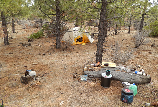
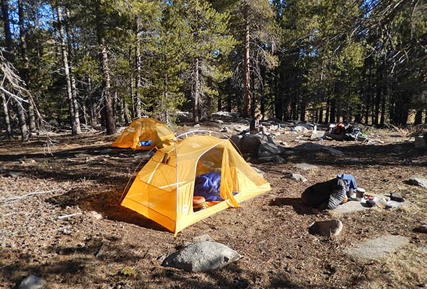
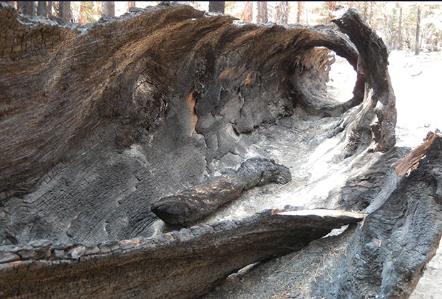
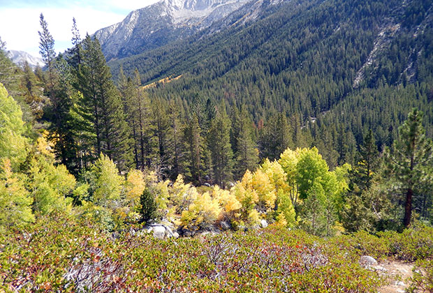
That day was a delightful leisurely ten-mile stroll, mostly downhill) to the Cedars Camp, five miles from Old Station, in a grove of Red Cedars that had survived and flourished since the last forest fire. Unfortunately, there was another public access road to where I camped, a benefit for me stashing water containers but allowing intrusion of those identical good old boys. And, while resting in my tent in the late afternoon, planning on a long blissful sleep that night, some arsehole I had never observed began mocking the music I was playing on my smartphone. So, I was still in protection mode without the handgun I'd been trained to use when threatened by people who meant me harm. This time, I turned on a small LED light in my tent and moved far away, hidden behind large tree trunks, watching my tent as the sunlight drained from the sky. I expected that if Mr. Nobody planned to attack me, he would rain gunfire on my empty tent, where I would vanish into the forest area I knew so well. That evening, hiding and watching my tent, waiting for gunfire from an enemy I thought might be there, my perception moved into incredible images that I believed were real. The first was a fast-moving grey blur from left to right past my tent. It was a Coyote, a creature I think identifies with me, but that's another story from my dreams. Then, as the sunlight drained from the sky, I began to see crystal clear things from my perception but improbable. Finally, growing tired of hidden surveillance and more interested in getting some sleep, I cautiously moved back toward my tent, only to be halted by the appearance of a large white tent and white pickup truck between the PCT trail and my campsite. It was hard to accept that others had arrived so close without seeing or hearing it happen, but what a feeling of relief that I had them there to counteract the threat of Mr. Nobody – if he was still in the area? As I approached my tent, I saw the white tent and its parked truck more clearly in the gathering gloom – until the images gradually evaporated into a distant snow-covered hillside, framed between dark outlines of tree trunks and overhanging branches. So, it had been a persuasive illusion before it disappeared. Then, slowly recovering my senses, car headlights suddenly appeared above a low ridge in the forest behind my tent. So now I believed other people were nearby, possibly even Mr. Nobody driving a vehicle? I hurriedly climbed to the top of the ridge, expecting to see a cross-country truck or car in the gully below, but then the lights blinked out, and I discerned nothing but tangled bushes and small trees as twilight morphed into darkness. I climbed into my tent with much relief and wrapped my body and mind in my sleeping bag. Attempting to get some sleep, I remained baffled by the illusions I saw, even believing that I'd been visited by encounters of a third kind. The images I'd observed seemed authentic, but I now needed to determine what had created the illusions. I had not ingested alcohol, pot, or crazy mushrooms but was desperately short on sleep after the previous two nights, so maybe that was the culprit. My best logical guess was the last brief appearance of the sun, which had emerged over the mountains to the west, descending below a high cloud overcast through a clear gap behind the hills. That sudden sunlight had highlighted the distant snow-covered hillside and crafted the white tent and truck for a few minutes. Then, the last bright rays from the sun created a compelling illusion of vehicle headlights through the trees. A year later, I still force myself to accept it was the sun going down – that is, a natural phenomenon, but it's easier to believe that I was visited that night for reasons that will eventually be shown to me.
|
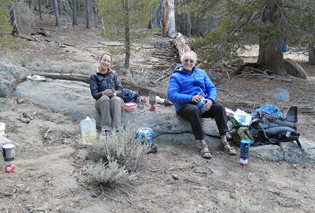
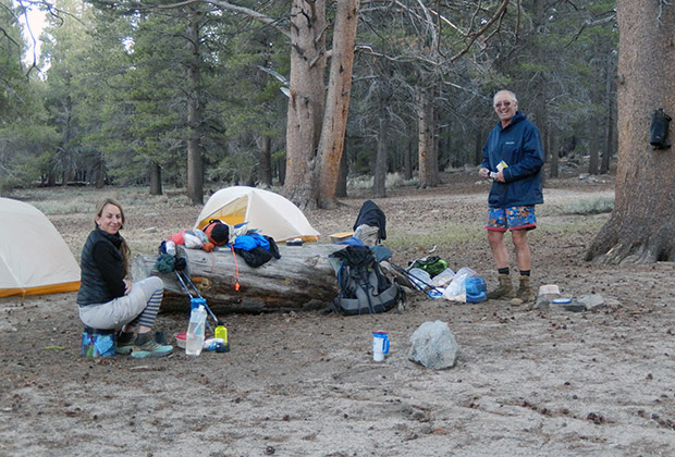
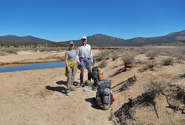
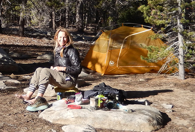
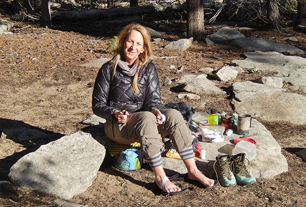
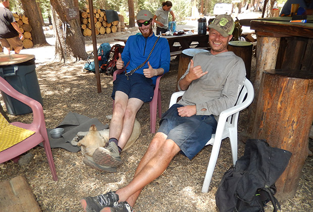
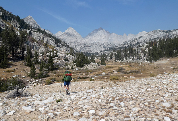
Kennedy Meadows South with Carla and Chris |
|
|
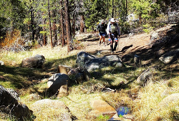
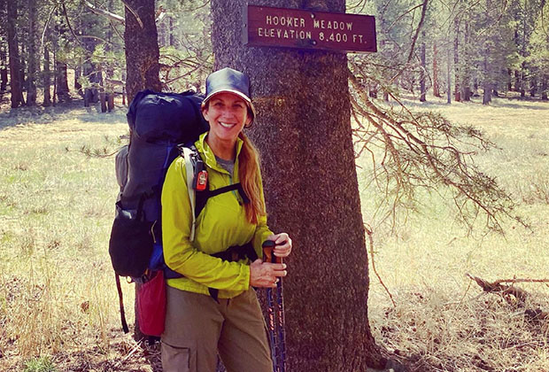
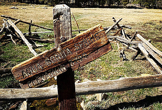
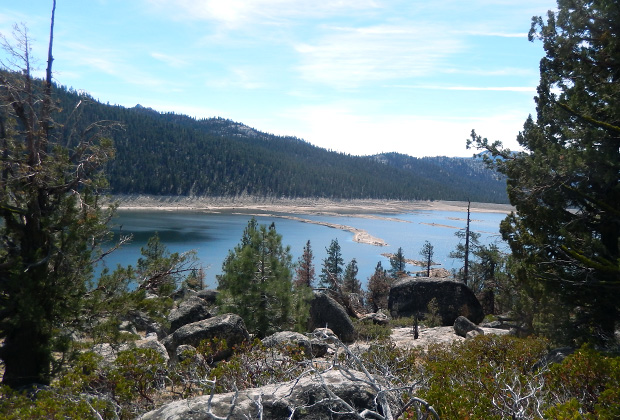
By late April, like last year, I planned to do what I wanted in the mountains, but thanks to black ice on our driveway, I slipped and came crashing down on my butt, broke a toe, chipped an ankle bone, but thankfully didn't hit my head. Despite these injuries, I went into the Golden Trout Wilderness with Carla and her friend Chris. When we set off in early May, using the Hooker Meadow Trail, it became evident that water availability would be a serious problem. It was: even at the Aqua Bonita Spring in Albanita Meadow and across the southern sections of Monache Meadow where we crossed the Snake Creek Bridge. On the second day we camped on the western bank of the South Fork of the Kern River, a river that had become a trickle. What water there was flowing looked clean, but still required filtering for drinks and cooking. After two days of backpacking, the results of my ice-slippage showed up as a severe lower back pain. From lying in the tent each night I found it difficult to stand up and walk, made even more painful with a loaded pack. Fortunately, Carla and Chris began carrying the heavier items from my pack, a blessing, but during the two days it took to reach our vehicles it was still tough going for me. Back home in Reno I sought treatment from various Chiropractors that gave some relief from the lower back pain, including the ability to make numerous day hikes close to home.
|
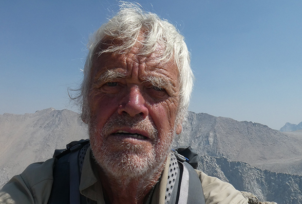
My Last Hike over Mono Pass to access VVR |
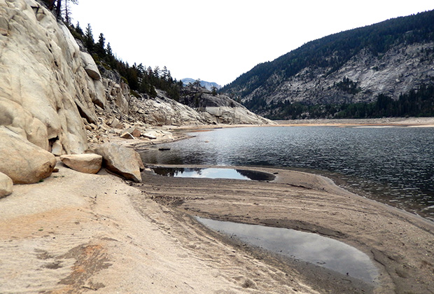
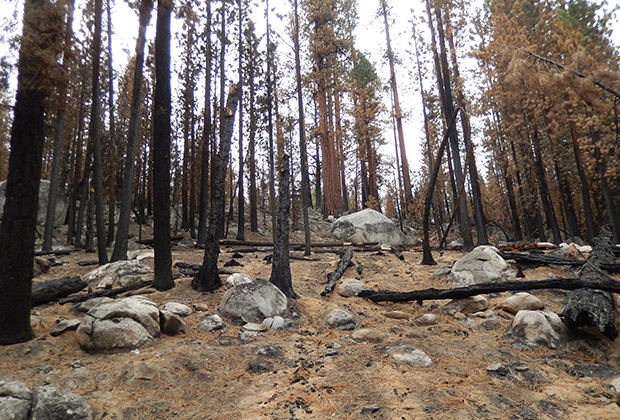
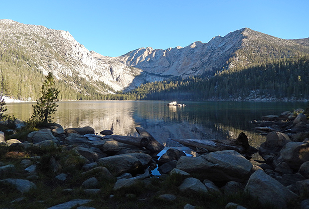
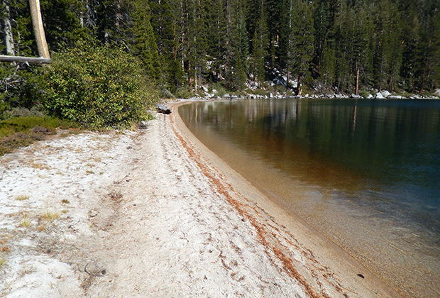
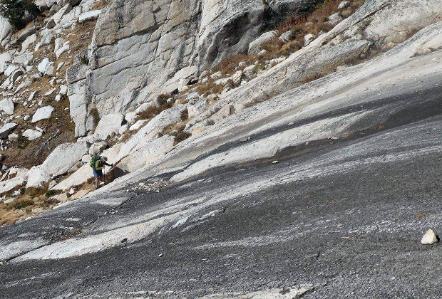
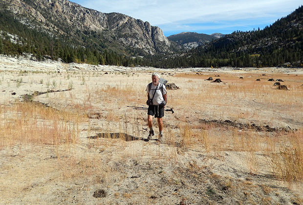
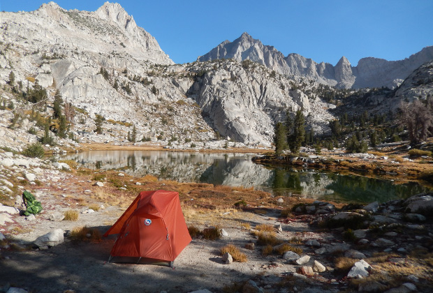
I returned to the Sierra in mid-June, over Mono Pass and down Mono Creek to VVR, to check on the fire damage from the Creek Fire. Even though Jim Clements had sold VVR, he was still doing a handover. I've known Jim for 20 years, and his stories of how he and others saved VVR from the flames were incredible. Anyway, I hiked for 4 days, planning to take a day off at VVR, resupply, and return to my vehicle at Mosquito Flat. The problem was that my lower back locked up on the day off, and I realized that I couldn't hike back to my vehicle at Mosquito Flat – consuming eight Advil's every 12 hours. I should have called for a helicopter lift from VVR to my vehicle (22 air miles away) and paid the cost, but Jim offered a ride by road to Fresno, north through Yosemite, down past Mammoth Lakes to his home at Crowley Lake. It was ten hours of agony before being dropped off at my vehicle, accompanied by a half-blind Sikh (Bruce) and his Guide Dog (Wookie). Like all Indian families, Bruce had Uncles everywhere, so the three of us stayed comfortably at a Mammoth residence. Wookie had guided Bruce for 100 miles on the JMT, from Kearsarge to VVR, and his front right leg was in pain, limping in on arrival. Back in Reno, a month later, in agony, I had Chiro adjustments that reduced the pain but didn't fix the underlying problem, so I had X-rays and MRI images taken. Discovered I had a compressed fracture at L2. Oddly enough, the lower back pain was very mild, but I knew the real problem had to be fixed before I could be backpacking again. Once I understood the extent of the problem I'd faced after the fall, it became apparent why the severe pain issues developed while backpacking but were absent on day hikes and general moving around at home. My 30-pound backpack was compressing the fracture, mainly downhill, followed by inflammation around the affected region that led to additional days of pain. Thanks to Fate, I'm living in the USA, in Reno/Tahoe, a center for dealing with all the accidents on the many ski fields in the area; a highly specialized Spinal Surgeon fixed my problem on August 23. This one-hour operation could have me back in the mountains with a backpack within three weeks. Unique procedure: drill a small hole above the L2, push in a straw-like tube with a balloon on the end, blow up the balloon, which opens the vertebrae, squirt in a thick fluid that hardens like cement, collapse the balloon, pull out the straw, put a band-aid on the hole – and the jobs finished – and my lower back pain was gone. Medical Magic! |
|
|


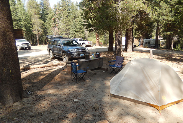
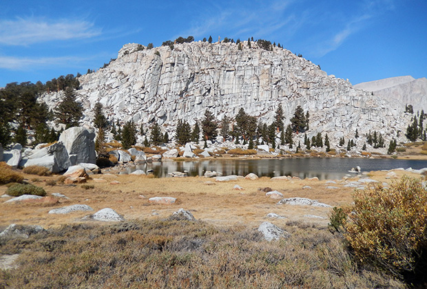
By Vehicle, Back to VVR - My Latest Backpacking Base |
So, I began planning how to maximize being out there again before Fall/Winter set in but allowing a period of healing from the operation. Because of Forest closures due to Fires, the result was limited activity. Why did I drive all the way around the High Sierra to get to VVR? After being caught on the wrong side of the high eastern Passes, like the 12,000' Mono, I figured that if I began my hikes from VVR, I wouldn't be trapped in the event of further back problems or early snow, I'd have my 4WD 4-Runner to escape to Fresno and beyond. The concept was good but began having misgivings about my cavalier approach to backpacking too soon after the operation – supported by an MD hiking the JMT. The result was limited by what I did attempt, however there are amazing adventure stories associated with what I did, and who I did it with – a 76-year-old Triple Crown Thru-hiker! My final trip into Miter Basin was cut short by snowfall at #2 Lake, and low temperatures.
|
|
|
|


Page still under Construction
Goto Home Page
For my Aviation Website, Goto: www.flyingkiwiusa.com
latest news2020 | latest news2019 | latest news2018 | latest news2017 | home | main players | contact us | sierra nevada | jmt access map | jmt planning | 2024equipment | jmt schedules | jmt2016 | jmt 2015 | jmt 2014 | jmt 2013 | jmt 2012 | jmt 2011 | jmt 2010 | jmt 2009 | jmt 2008 | jmt 2007 | jmt 2006 | jmt 2005 | jmt 2004 | jmt 2002 | mt agassiz | mt sill | mt shasta | matterhorn peak | mt egmont | nz 2016 | mt rainier | mt shuksan | mt jefferson | pct sonora nth | pct tm nth | pct wa nth | mt baker | wonder trail | mera peak | mt adams | goat rocks | cascades 2003 | mt whitney | kaibab trail | presidents | antarctica | hoover pct | recesses | highrte2015 | highrte2016 | denali89 | benson lake | videos mp4 | tremaynes |