
The 2013 & 2014 Benson Lake Circuits
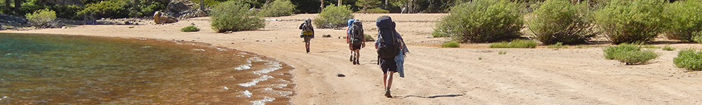
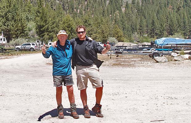
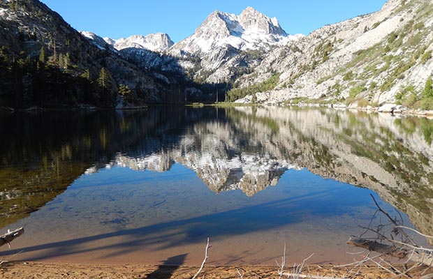
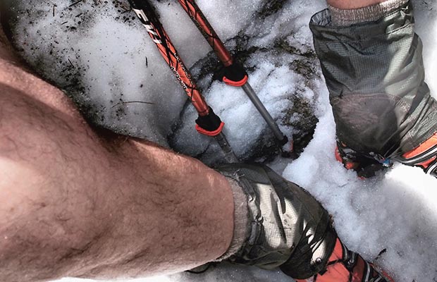
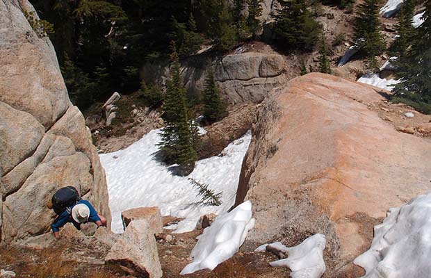
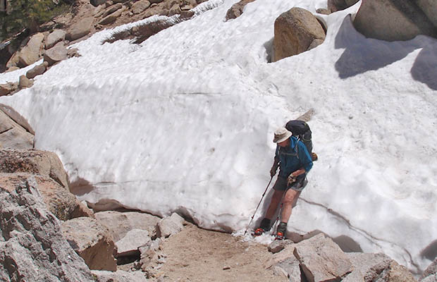
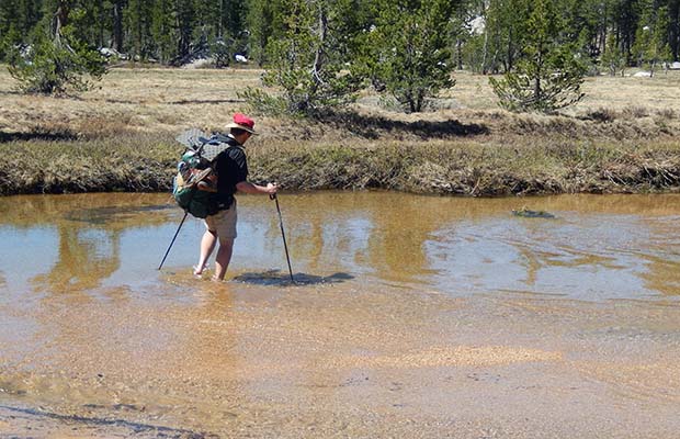
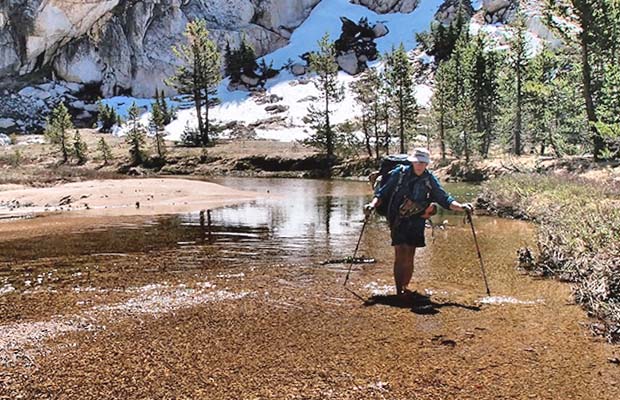
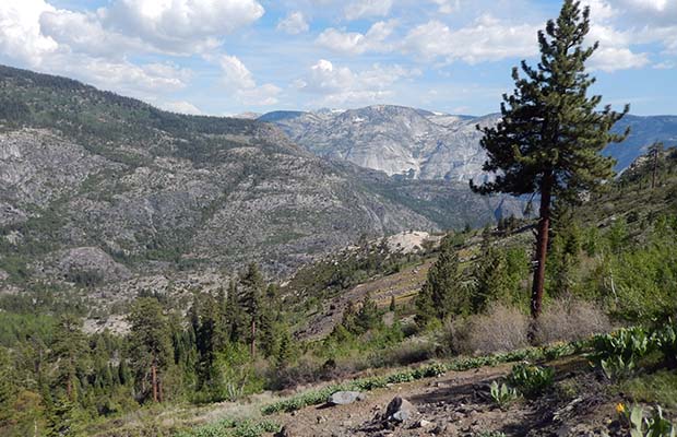
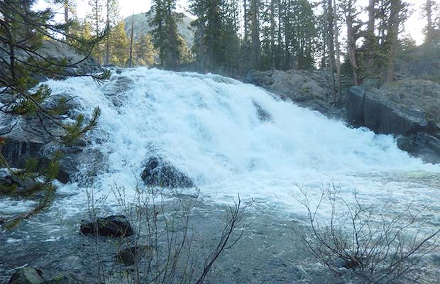
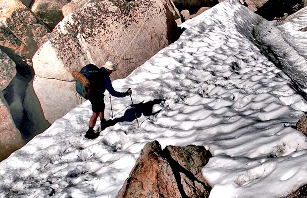
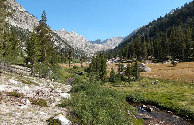
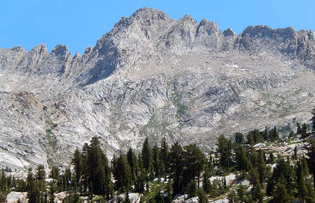
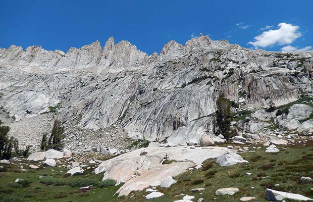
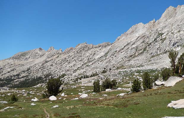
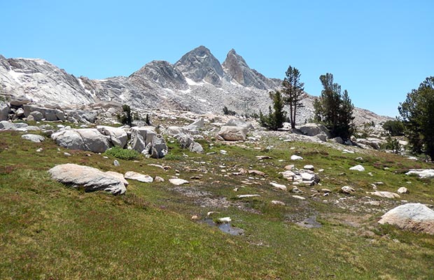
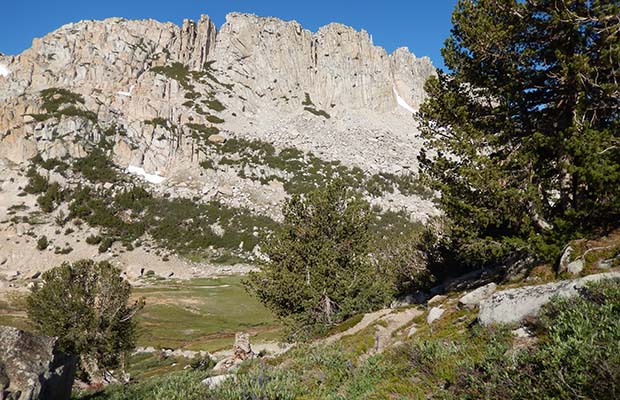
The so-called Benson Lake Circuits can be done using various trailheads and routes. Probably the most used trailhead is Robinson Creek near Twin Lakes [Mono Village Resort]. Other choices are Virginia Lakes [Virginia Lakes Resort] and further afield, Leavitt Meadows on Highway 108. In early June, 2014, in the company of my young friend, Johannes, we departed from the classic route to avoid late snow on the northern slopes between Burro and Mule Passes. To achieve this, we used the Bear Valley Trail south from the PCT in Kerrick Canyon, then connected with the Pleasant Valley trail around to Rogers Canyon, then joined the PCT again near Smedberg Lake. In the event, we did encounter steep snow sections on the trail to Peeler Lake and on the climbs into and out of Bear Valley. However, our biggest challenge was crossing Piute Creek in Pleasant Valley. The Creek was running high and fast, leaving us no option but to swim with floated packs across the deluge. Not an easy task and somewhat perilous with falls above and cascades below ... but we did it, and survived! The climb up Rogers Canyon to the PCT was pleasant, but the steep descent down to Benson Lake was difficult because of snow patches. |
|
![A hollowed out Red Fir [Widow Maker] with branches still inside the empty trunk.](images/2134benson/214benson/214johbenson31.jpg)
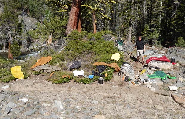
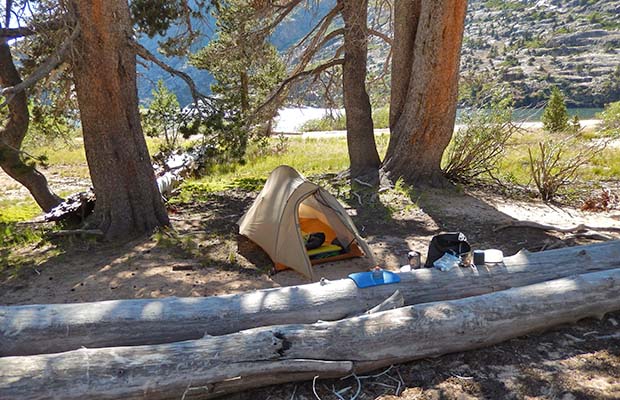
![Johannes in his favorite tent [The One] in Rogers Meadow.](images/2134benson/214benson/214benson33.jpg)
![Our morning bear [cub] in Rogers Meadow ... but where's the mother?](images/2134benson/214benson/214johbenson34.jpg)
![Our campsite on the PCT, at the lake south of Seavey Pass [we'd bypassed Benson Lake]](images/2134benson/214benson/214johbenson41.jpg)
![Fellow hikers [two Israeli couples], met at the southern end of Kerrick Meadow](images/2134benson/214benson/214johbenson43.jpg)
|
|
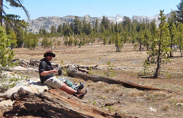
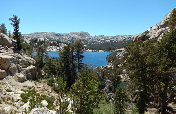
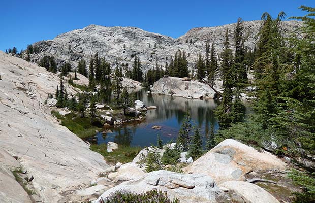
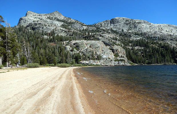
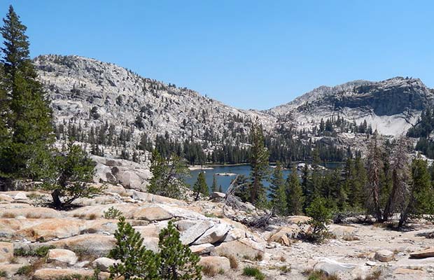
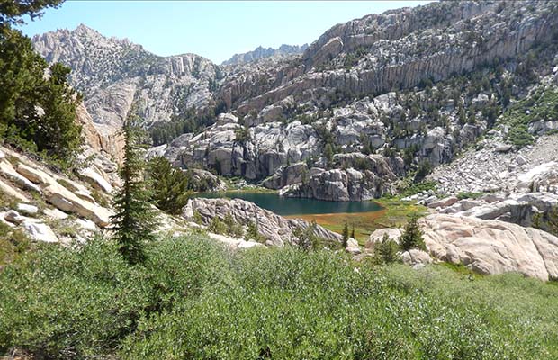
We decided to bypass Benson Lake, and instead climbed up to camp at a small beautiful lake below Seavey Pass. Our last day had us up Kerrick Meadow [no snow], past Peeler Lake and down to a campsite on Robinson Creek. This challenging eight day trip was certainly a departure from the classic circuit that I'd done solo in July of 2013. Then, I'd started at Twin Lakes, hiked up Robinson Creek Trail to Peeler Lake, then down Kerrick Meadow to the PCT, headed south over Seavey Pass to camp on the beach at Benson Lake. The third day had me over Benson Pass into Matterhorn Canyon, setting up camp at the PCT trail junction. The fourth day was over Burro Pass and down to Slide Canyon, with the final day over Mule Pass and all the way down to Twin Lakes.
©2014 Peter Tremayne, Reno NV |
latest news2020 | latest news2019 | latest news2018 | latest news2017 | home | main players | contact us | sierra nevada | jmt access map | jmt planning | 2024equipment | jmt schedules | jmt2016 | jmt 2015 | jmt 2014 | jmt 2013 | jmt 2012 | jmt 2011 | jmt 2010 | jmt 2009 | jmt 2008 | jmt 2007 | jmt 2006 | jmt 2005 | jmt 2004 | jmt 2002 | mt agassiz | mt sill | mt shasta | matterhorn peak | mt egmont | nz 2016 | mt rainier | mt shuksan | mt jefferson | pct sonora nth | pct tm nth | pct wa nth | mt baker | wonder trail | mera peak | mt adams | goat rocks | cascades 2003 | mt whitney | kaibab trail | presidents | antarctica | hoover pct | recesses | highrte2015 | highrte2016 | denali89 | benson lake | videos mp4 | tremaynes |