
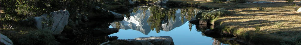
The 2004 John Muir Trail Hike
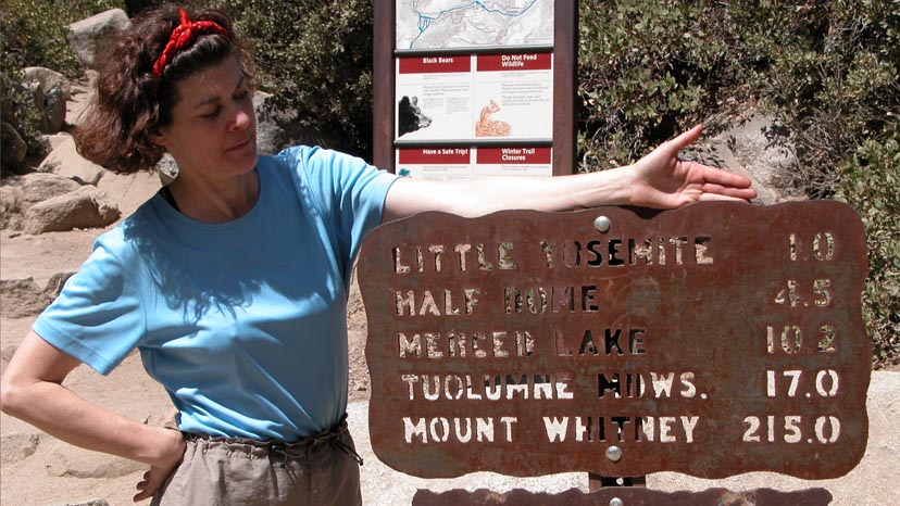
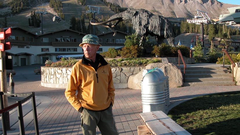
Two years after hiking the John Muir Trail (JMT) on my own, I suggested to Lucy she join me on a second attempt in late August, 2004. From my previous experience, I formulated a logistic plan based on using two vehicles, leapfrogging them down Hwy 395 on the eastern side of the Sierra Nevada. We would park both vehicles at Mammoth Springs, take the YARTS bus to Yosemite Valley and begin hiking the JMT at it's northern start point of Happy Isles. On reaching Reds Meadow, we'd take the shuttle into Mammoth Lakes, collect both vehicles and position one at South Lake trail-head above Bishop, return to Mammoth and shuttle back to the JMT at Reds Meadow. Eight days later we would leave the JMT at Le Conte Canyon and hike over Bishop Pass to South Lake, collect the vehicle, drive to Mammoth, collect the second vehicle and position one at Whitney Portal and finally return to South Lake for the last eight days hike on the JMT to the summit of Mt. Whitney. In the event, the plan worked very well; providing an efficient re-supply method at both Mammoth Lakes and Bishop, with the added benefit of hot showers, laundry and the occasional night in soft beds. The vehicle positioning was a little tedious, but proved a pleasant break from stumbling along the trails. The only downside was an added 26 miles and 5,000' climb to hike from Le Conte Canyon to South Lake and back ... not happy days for either of us! |
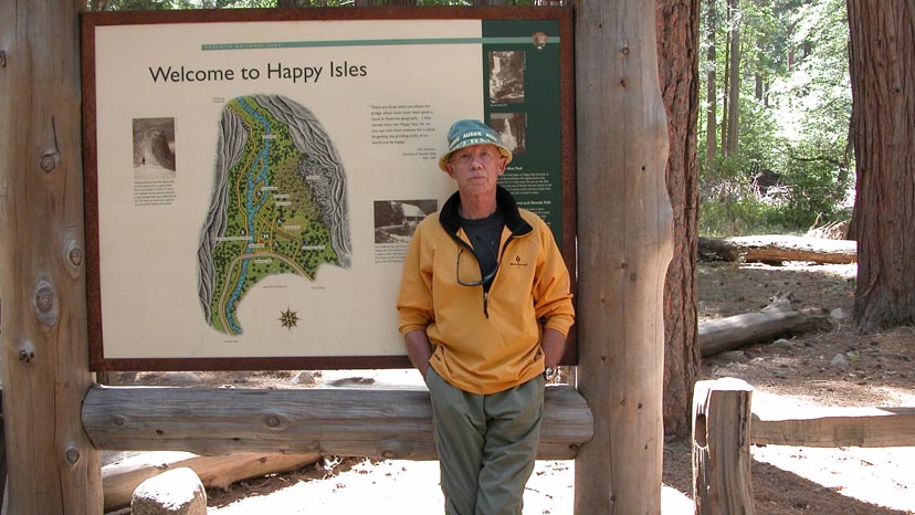
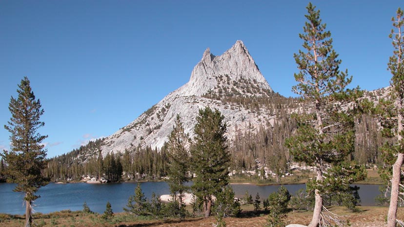
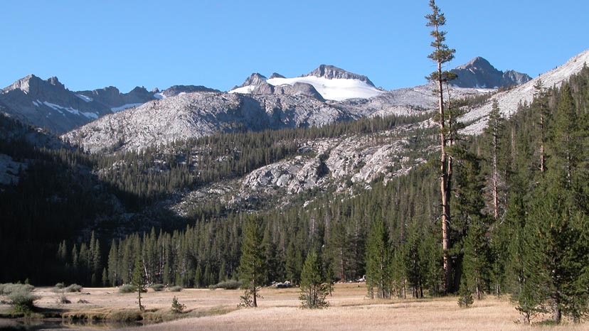
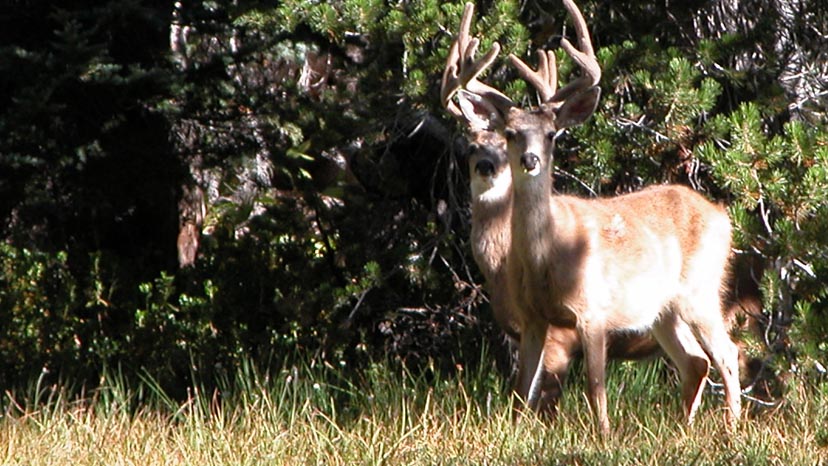
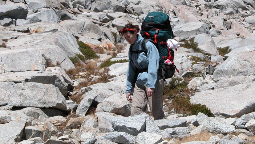
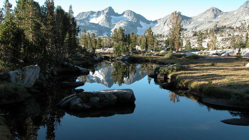
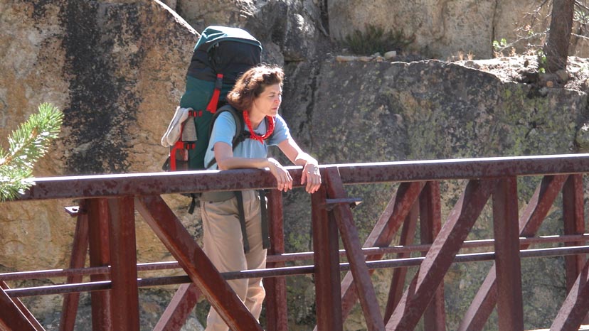
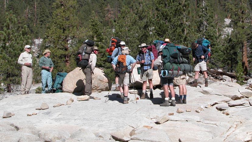
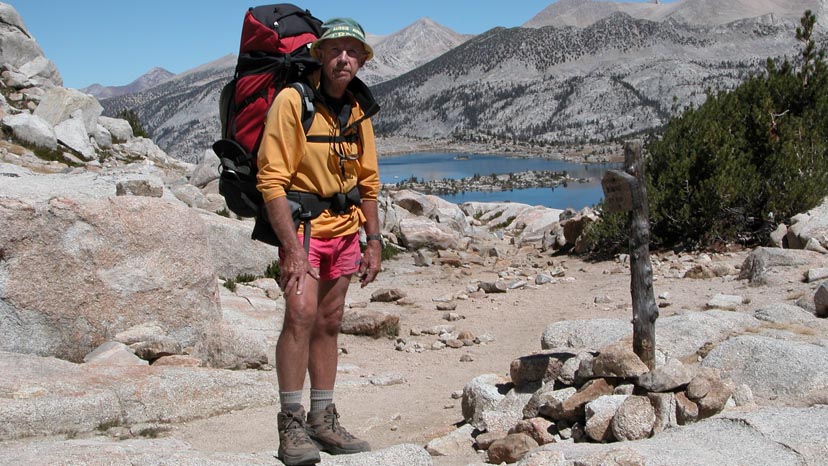
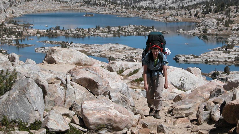

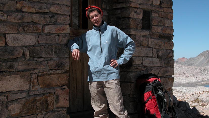
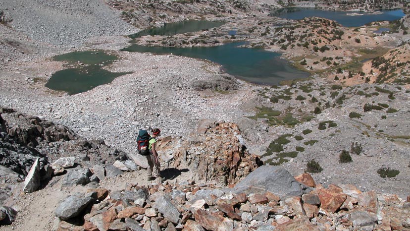
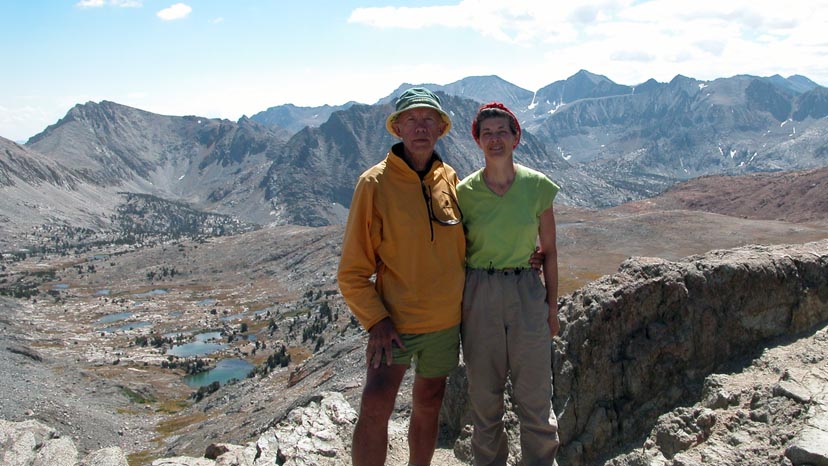
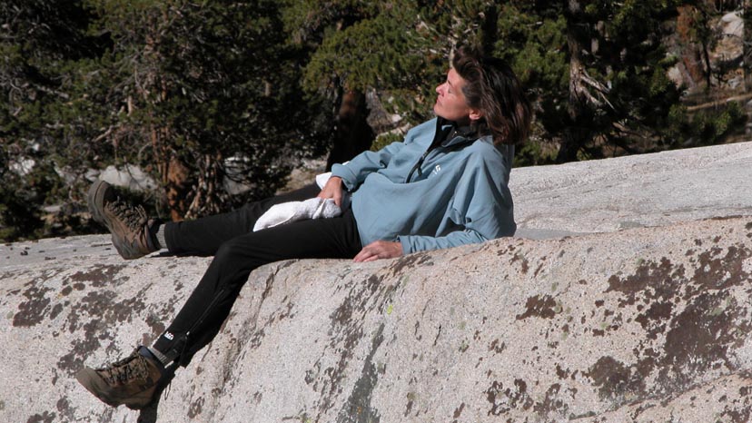
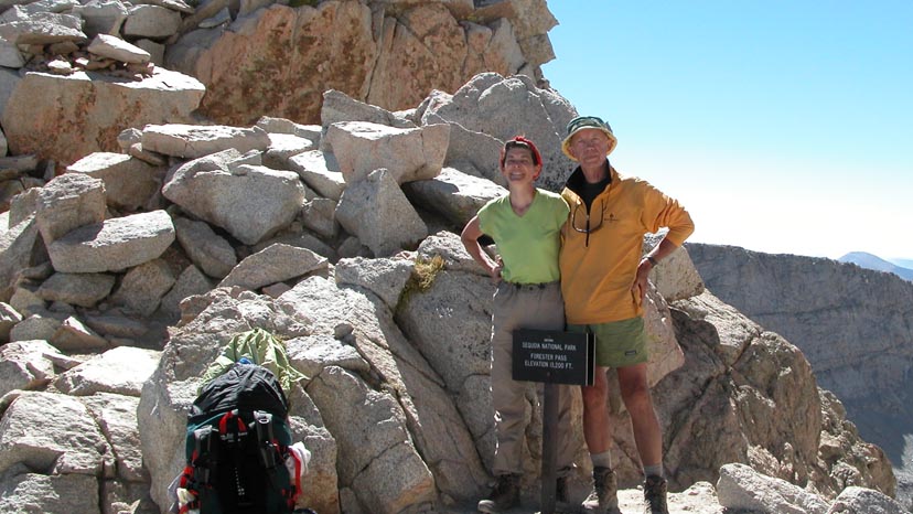
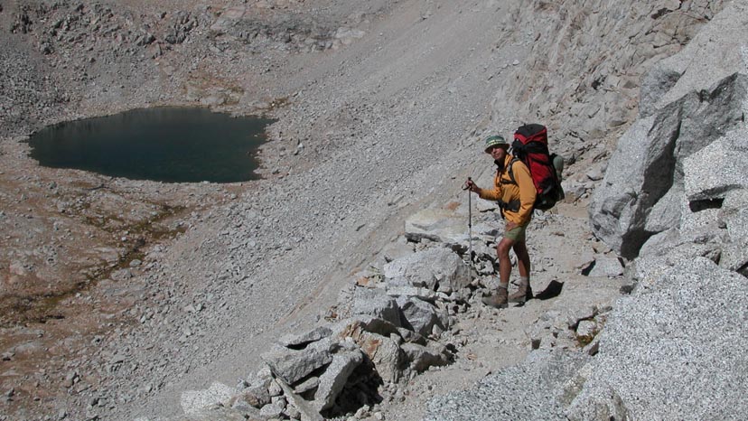
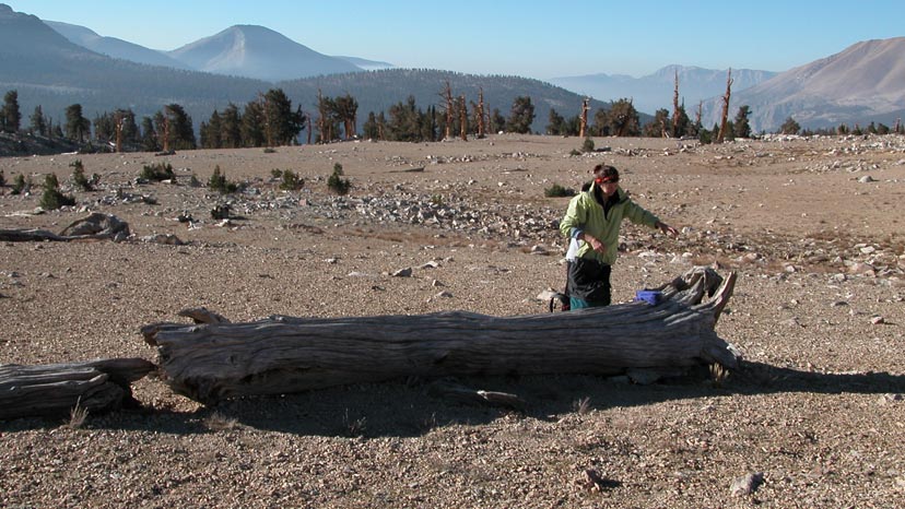
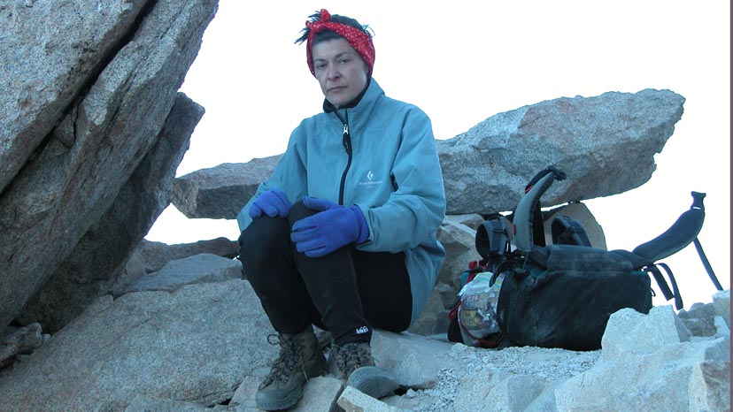
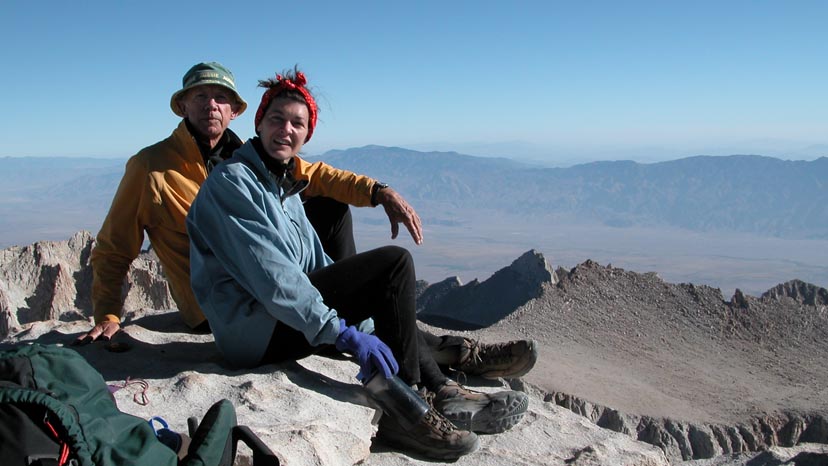
We began the hike at Happy Isles on August 24 and reached the summit of Mt. Whitney on September 16, a total of 24 days. See the attached schedule for a detailed breakdown of our activity. As expected, the Californian weather treated us kindly: No rain, no thunderstorms, little wind, daytime temperatures in the 80's with night time lows in the 30's. Most of our camp-sites were at elevations between 8,500' and 10,500'. Was the trip fun? Hiking the JMT is a serious undertaking even for very fit hikers like Lucy and myself. The daily regimen of 6 am rise, on the trail by 8 am, hike 10-15 miles in high altitude rugged terrain with a heavy pack, establish camp by 5 pm, crash for the night on hard cold ground ... then do it all again the next day, and the next, and the next. Taking rest days on the JMT is not an option because you can quickly run out of food and fuel, requiring a bail-out on a lateral trail (if available) to civilization. Seeking handouts from other hikers is not encouraged ... if you've screwed up your food planning, tough luck, leave the JMT and try again another year. Lucy and I travelled light, not minimalist like some do, but at an optimum comfort level. Our tent weighed 4 lbs, our sleeping bags 2 lbs, inflatable sleep-pads 1 lb and light mountain clothing that would have handled a quick descent from the high Passes in blizzard conditions. We each carried BearVaults, the latest bear-proof food containers into which we jammed 8 days of dehydrated meals and high energy trail snacks. The containers must work; we never saw hide nor hair of a bear during the 24 days we spent in the mountains. Overall, the trip was a great success. With some variation, we plan on a return to the JMT in 2005.
©Peter W Tremayne Vancouver, WA March, 2005 |
Back to Top
latest news2020 | latest news2019 | latest news2018 | latest news2017 | home | main players | contact us | sierra nevada | jmt access map | jmt planning | 2024equipment | jmt schedules | jmt2016 | jmt 2015 | jmt 2014 | jmt 2013 | jmt 2012 | jmt 2011 | jmt 2010 | jmt 2009 | jmt 2008 | jmt 2007 | jmt 2006 | jmt 2005 | jmt 2004 | jmt 2002 | mt agassiz | mt sill | mt shasta | matterhorn peak | mt egmont | nz 2016 | mt rainier | mt shuksan | mt jefferson | pct sonora nth | pct tm nth | pct wa nth | mt baker | wonder trail | mera peak | mt adams | goat rocks | cascades 2003 | mt whitney | kaibab trail | presidents | antarctica | hoover pct | recesses | highrte2015 | highrte2016 | denali89 | benson lake | videos mp4 | tremaynes |