
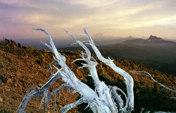
Mount Jefferson: a dangerous mountain in Oregon
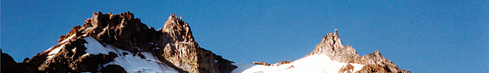
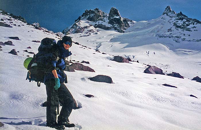
Early Attempts 1987 - 1988From my Climb Journal, June 27, 1987 The new Coleman gasoline stove went berserk - bloody useless, and kicked it into a deep crevasse. Fortunately, one lone bush by the tent. I used the dead wood for heating supper and breakfast. Very good weather and the night mild. Woke at 0530 and off up the slope at 0630. The route is classed II - 3 to 4 grade [whatever that means?]. Many crevasses, also afternoon danger from falling rock. |
|
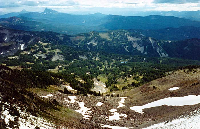
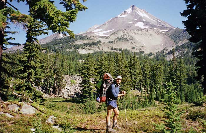
![Mount Jefferson [10,500'] from the north, as seen from the Jefferson Park Trail](images/87jefferson/87jeff05.jpg)
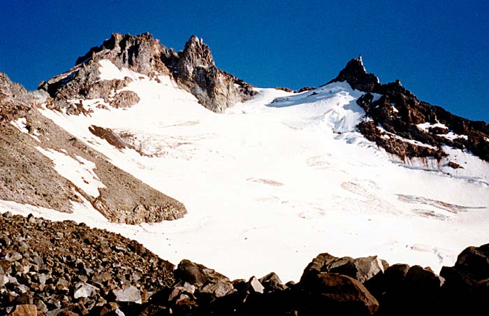

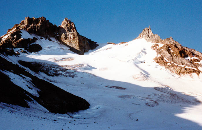
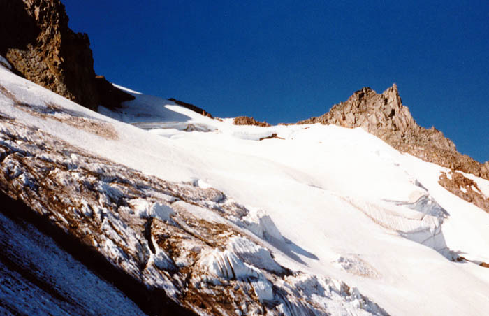
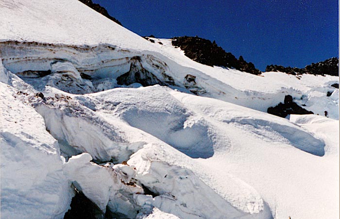
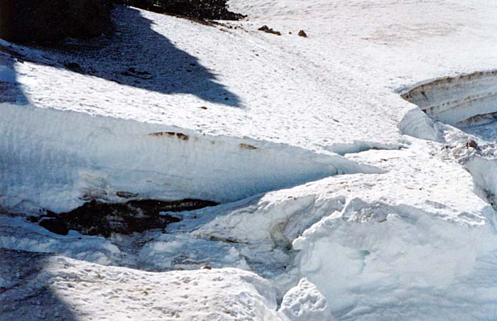
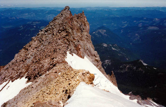
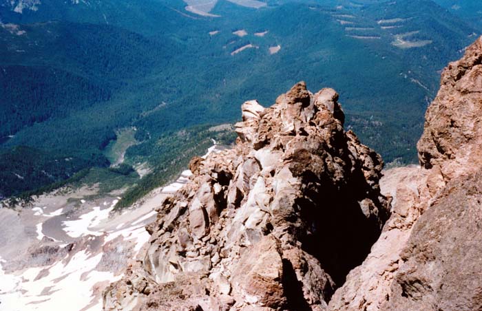
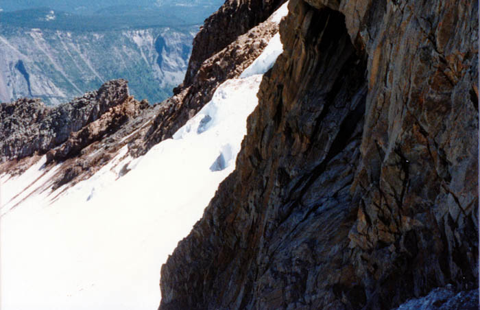
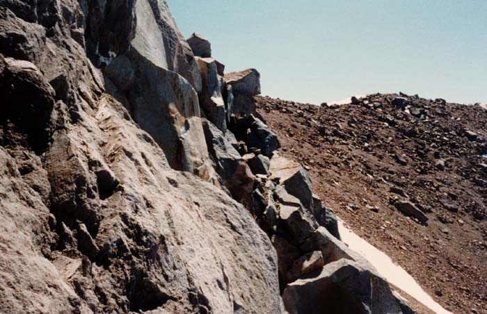
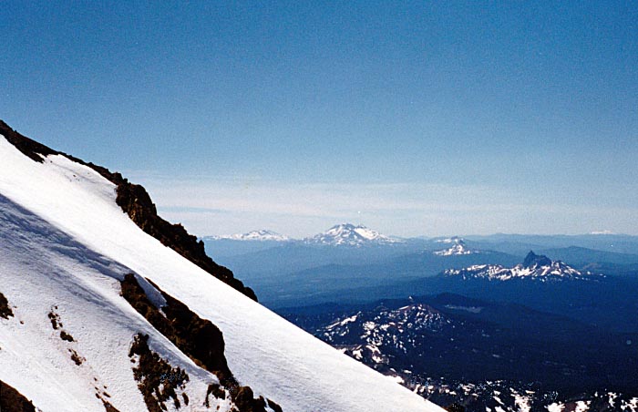
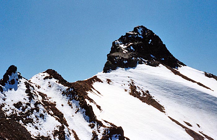
Traversed the glacier to the left side, up to the highest point, then level across to exit glacier. Bergschrund gave some problems - crossed at extreme left with a 20 foot ice wall to climb and snow bridges not too secure. Up the exit glacier to saddle and left along a narrow rock ridge. Suspect I took the wrong route? A rock traverse became more and more extreme. Much exposure and loose rock. Decided to retreat as time passing [1230] and a long careful descent ahead before crossing falling rock zone - must pass there no later than 1400. The correct route maybe up the gully to the left of rock ridge? Pamelia Lake and the southern face, July 17, 1988 A one day epic: Trailhead, Pamelia Lake - side trail to PCT - Mudhole Lake - South face climb to the Red Saddle and return to the trailhead, all in the same day. A 20 mile round trip in 19.5 hours. Met with Jim Frost, student at Corvallis. He’d never climbed before but a good traveling companion. We gave it our best shot but the slope below the summit pinnacle too exposed for a traverse without being roped. Also tight on time. Met a climbing team from the Mazamas club in Portland - amazed at our plan to climb in one day from the trailhead.
|
|
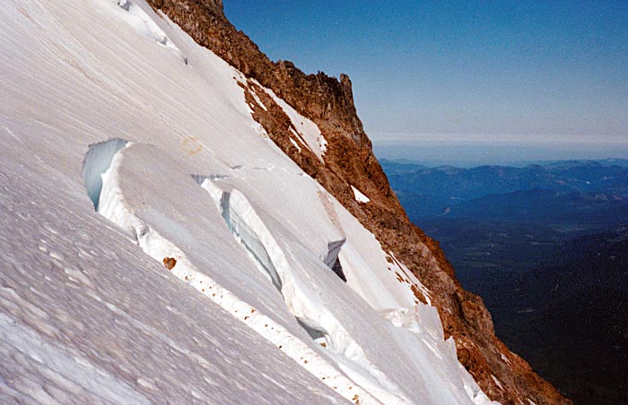
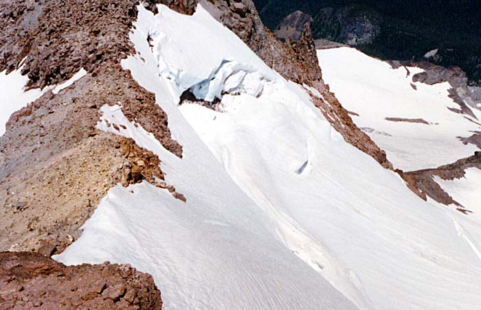
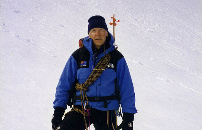
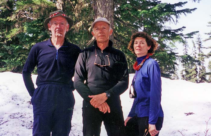
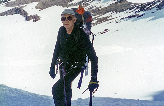
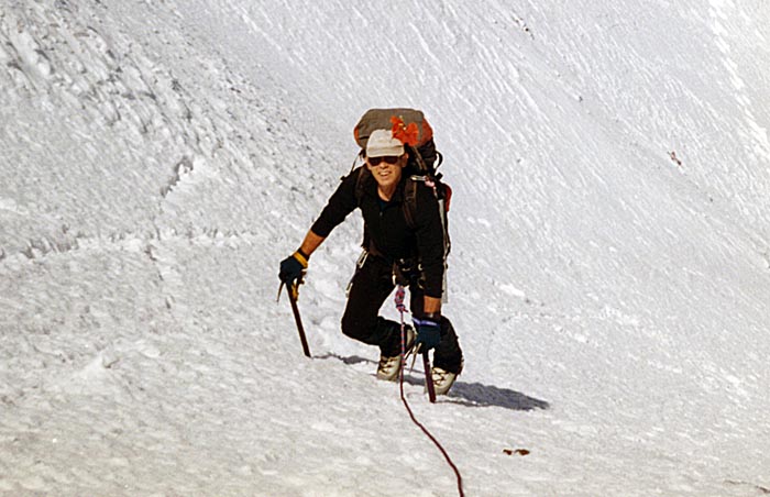
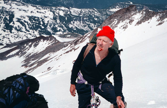
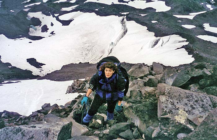
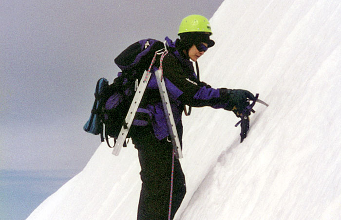
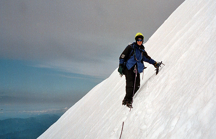
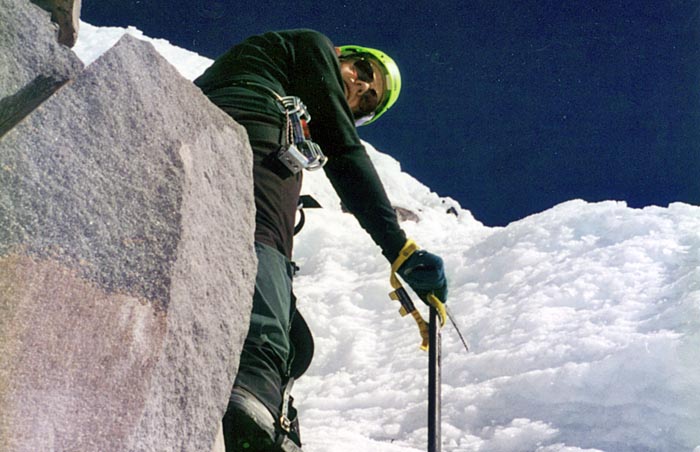
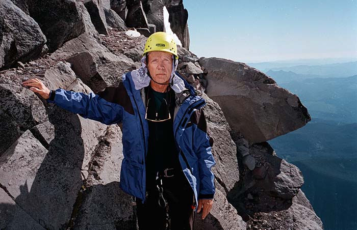
Roped with Lucy and Mal 1995 - 1997By 1996 I was back climbing on Jefferson with roped partners: my wife, Lucy and best climbing mate from Australia, Mal. During the summers of 1995 - 96, Lucy and I made attempts from both the Jefferson Park Glacier and the southern face routes. We reached the lower side of the bergschrund on the glacier and Red Saddle on the southern ridge, giving both climbs away for safety reasons. In mid 1997, Mal joined us for the last [serious] attempt on the Jefferson Park Glacier. The climb went well, reaching a higher point under the rock ridge than I'd made in 1987, but retreated under the threat of falling rock in the early afternoon. Mal was hit on the jaw by a fast moving pebble, while belaying me over the bergschrund during our descent to high camp. |
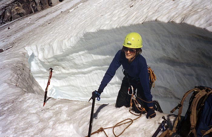
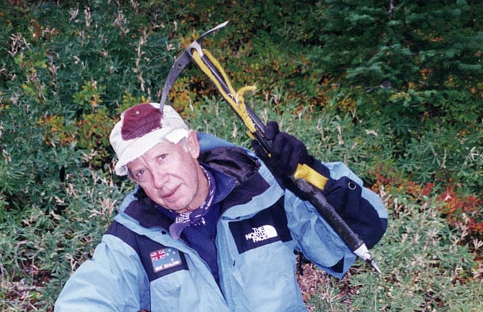

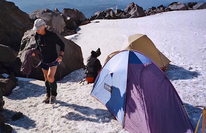
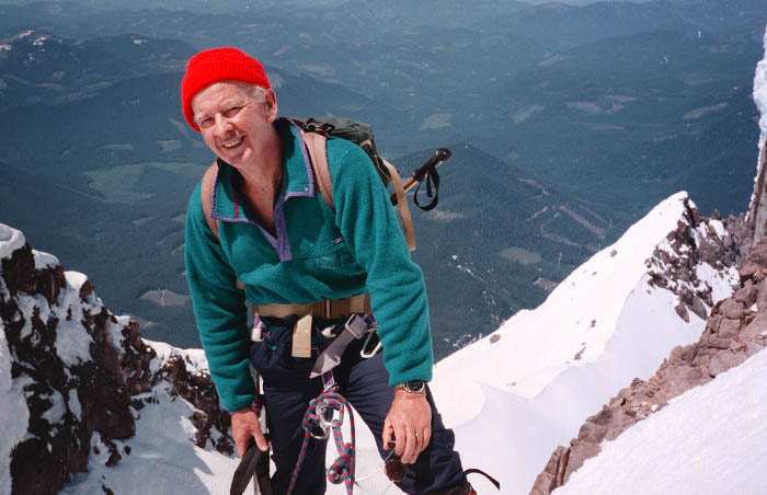
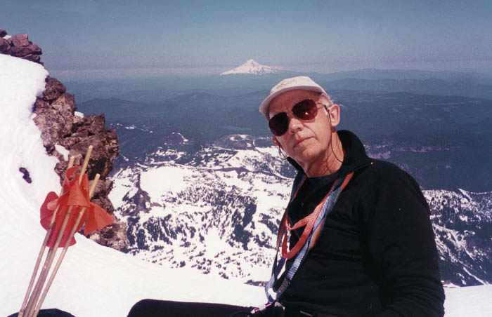
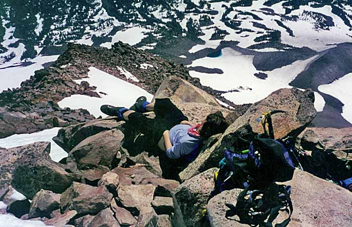
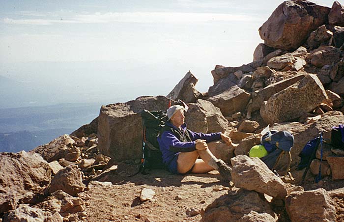
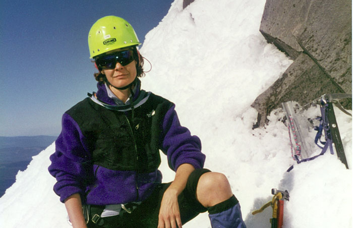
Success at Last: September 1997 - Southern Route Lucy and I left our high camp at 0630, reaching Red Saddle by 0930 and finally on the summit by 1330. Unfortunately not much to see, as the peak was enveloped in cloud. No snow on the summit pinnacle, which made the final ascent easier than our previous attempt at this route. We did make a few wrong moves on the pinnacle rock before reaching the final summit face. ©2014 Peter Tremayne, Reno NV |
|
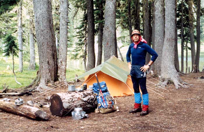
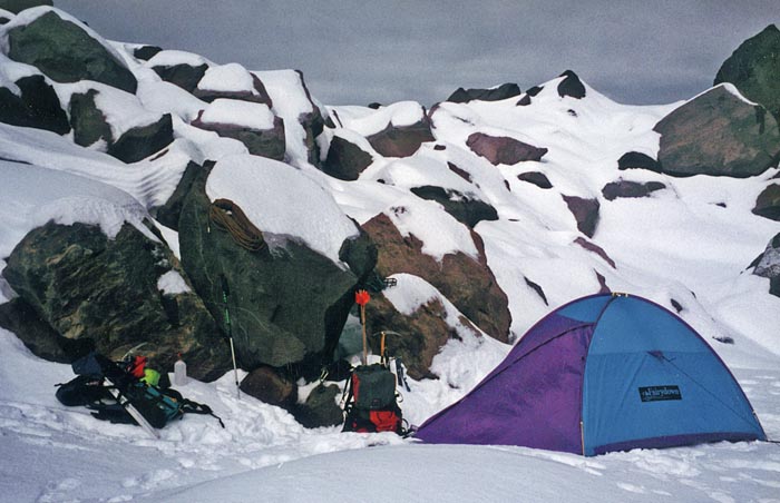
![1997: Our high camp [7,700'] on the southern face, close to a very small pond](images/87jefferson/97jeff04.jpg)
Back to Top