
2015 John Muir Trail Hike: Rise of the Wannabes
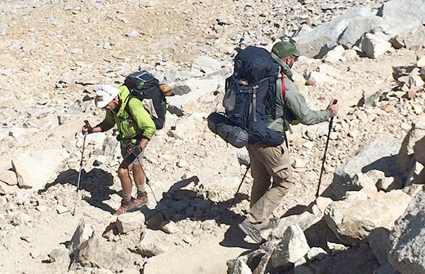
2015 was a tough year for acquiring permits to hike the JMT, thanks to the ridiculous story, Wild, by Cheryl Strayed and the movie of this book by Reese Witherspoon. The account of this pathetic loser hiking only 1000 miles of the 2650 mile Pacific Crest Trail to "find herself", was a clarion call to like-minded wannabes; most with no idea of what they were getting into. These doofuses loaded up the PCT and JMT as permit holders that had little or no chance of completing either Trail ... and probably didn't! Anticipating this influx of newbies inspired by their outdoor heroine [ or should I say heroin?], we chose to delay our annual JMT hike until early September and after Labor Day. We were aware that this timing would create some support problems [resupply and transport], but had failed to take account of the shorter daylight hours of late September. Instead, relying on previous schedules with daily distances during an August summer. This limitation, coupled with a partial day lost to rain, put us constantly behind our daily schedule by 3-5 miles; finally catching up at Rae Lakes. To add to our daily struggle, we'd arranged a resupply for an expected 11 days from Muir Ranch to Whitney Portal. |
|
![Tree cutting at VVR ... a fine job by Chris the woodsman [and Opera Singer]](images/215jmt/215jmt015.jpg)
|
|
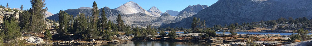
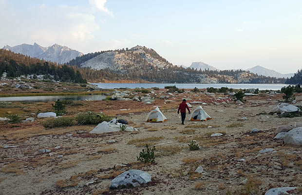
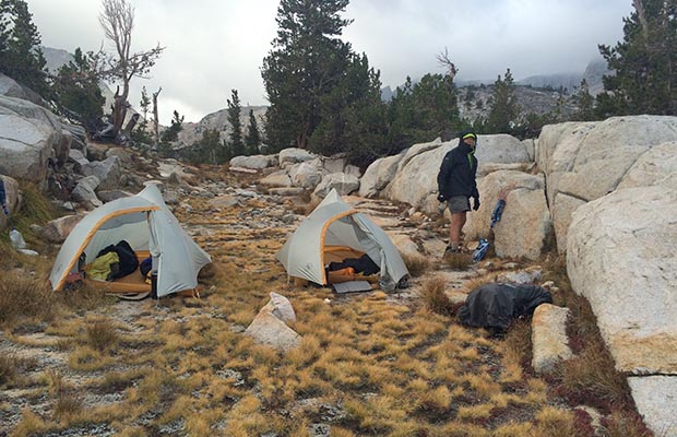
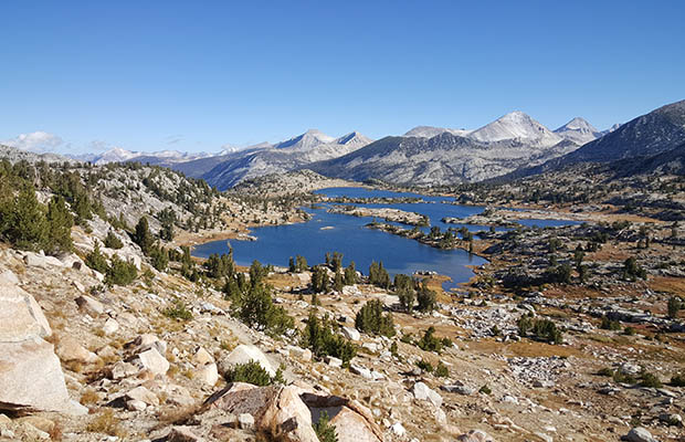
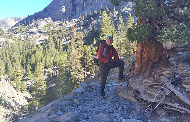
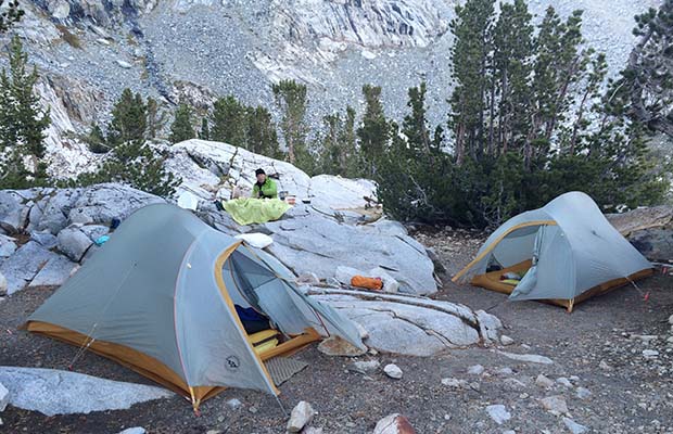
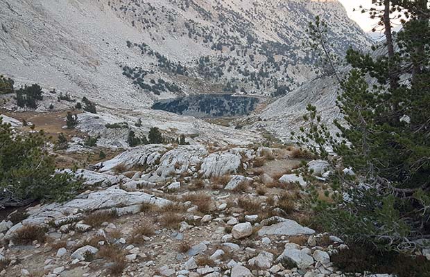
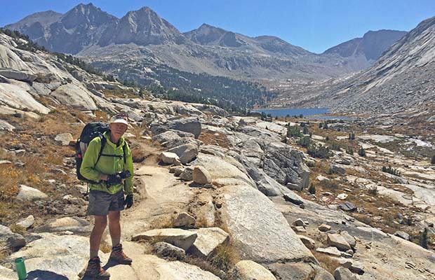
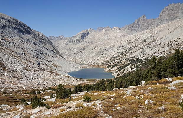
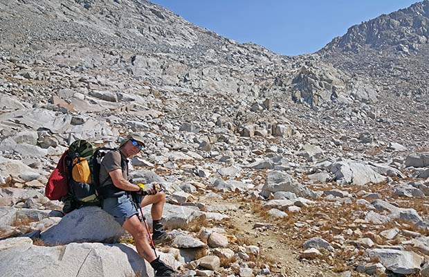
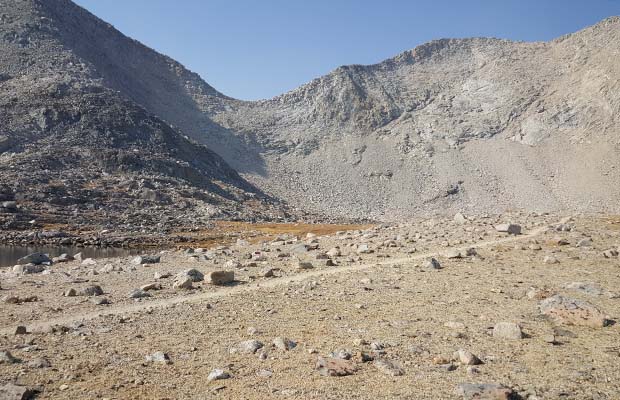
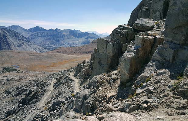
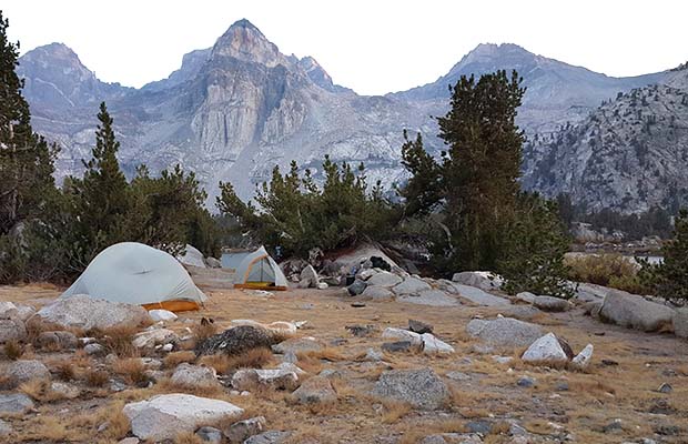
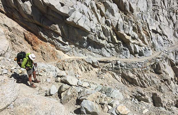
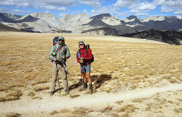
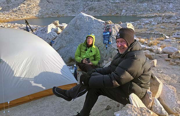
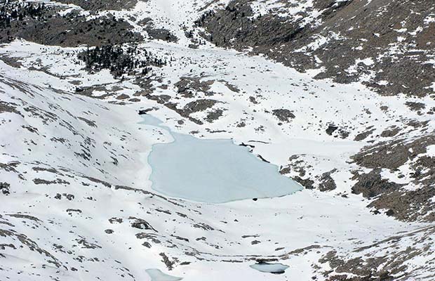
The result: From Muir Ranch to Rae Lakes, Bob Williams and I awoke each morning with the sure knowledge of another "Death March" from first to last light, carrying backpacks not ideally suited for weights much above 30 lbs. After Muir Ranch, all bets were off that we would make our scheduled campsites before dark ... and we never did, until struggling into the Rae Lakes camping area. One advantage of being off schedule was the introduction, by default, to new and exciting campsites which we can use on future trips. Finally back on schedule, we crossed Glen Pass in fine style to meet with Ben Spillman at the JMT intersection with Kearsarge Pass Trail [Lower]. From there, the three of us continued south on the JMT to the well used campsite on Bubbs Creek. The next day it was an easy crossing of the 13,200' Forester Pass and descent down to Tyndal Creek. |
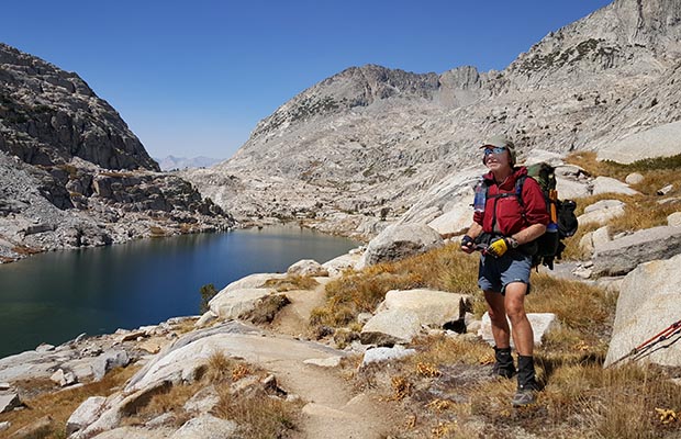
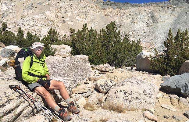
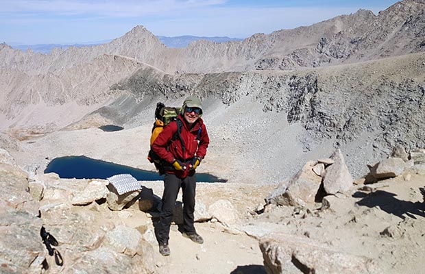
![Bob at the half way point bewteen Rae Lakes and Glen Pass [behind and above].](images/215jmt/215jmtbob039.jpg)
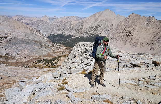
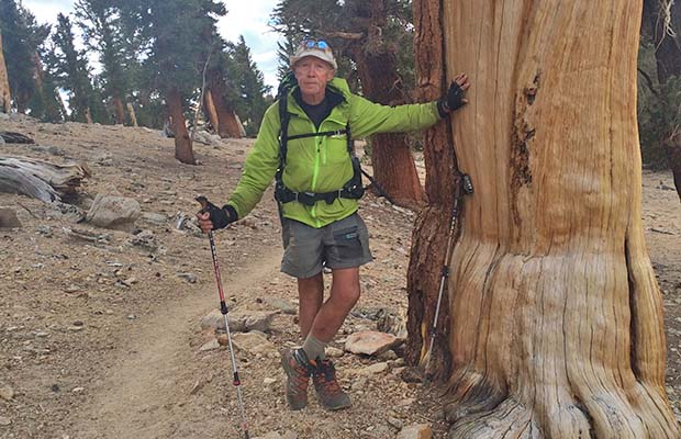
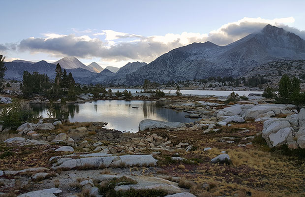
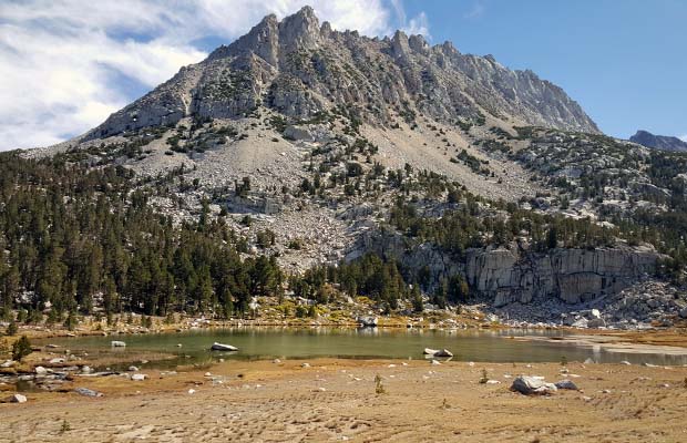
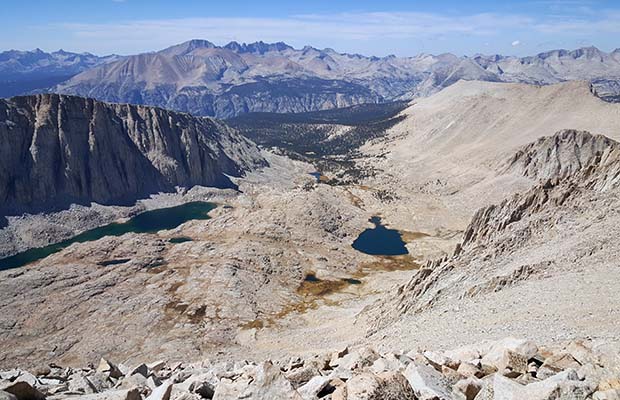
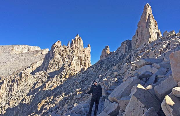
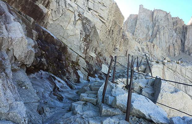
For me, one of the constant joys of hiking the JMT, is the crossing of the high desolate section of the Bighorn Plateau. This time was no exception: The climb from Tyndal Creek past the Frog Ponds, through the magnificent stand of ancient Fox Tail pines to the high desert section of the Plateau was sublime. Arrival at Guitar Lake was a pleasant surprise ... the only hikers there until a few stragglers showed up from the Horseshoe Meadow trailhead. The last day was a total success, but one heck of a long way out: 16 miles in 15 hours of climbing/hiking! We made the summit of Mount Whitney in fine style, but ran into a few unexpected problems [including 2 hours of darkness] on the way down to Whitney Portal. Read Benjamin Spillman's Reno Gazette Journal newspaper story about our journey. Also see our actual 2015 JMT Schedule
©2015 Peter Tremayne, Reno NV
|
|
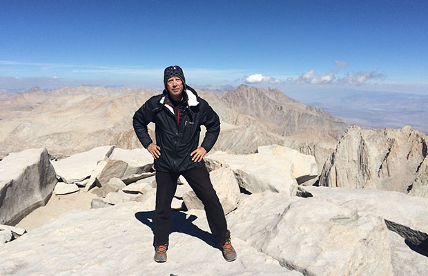
![Peter with Bob [his first visit] on the Whitney summit.](images/215jmt/215jmtben043.jpg)
![Benjamin [his first visit] and Peter on the Whitney summit.](images/215jmt/215jmtben045.jpg)
Back to Top
latest news2020 | latest news2019 | latest news2018 | latest news2017 | home | main players | contact us | sierra nevada | jmt access map | jmt planning | 2024equipment | jmt schedules | jmt2016 | jmt 2015 | jmt 2014 | jmt 2013 | jmt 2012 | jmt 2011 | jmt 2010 | jmt 2009 | jmt 2008 | jmt 2007 | jmt 2006 | jmt 2005 | jmt 2004 | jmt 2002 | mt agassiz | mt sill | mt shasta | matterhorn peak | mt egmont | nz 2016 | mt rainier | mt shuksan | mt jefferson | pct sonora nth | pct tm nth | pct wa nth | mt baker | wonder trail | mera peak | mt adams | goat rocks | cascades 2003 | mt whitney | kaibab trail | presidents | antarctica | hoover pct | recesses | highrte2015 | highrte2016 | denali89 | benson lake | videos mp4 | tremaynes |