
Climbing Mount Baker 1996
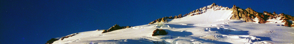
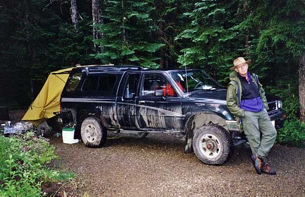
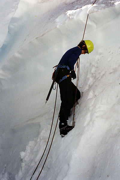
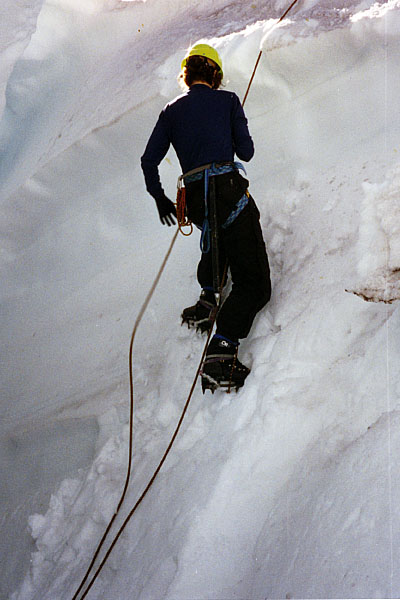
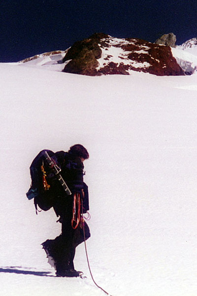
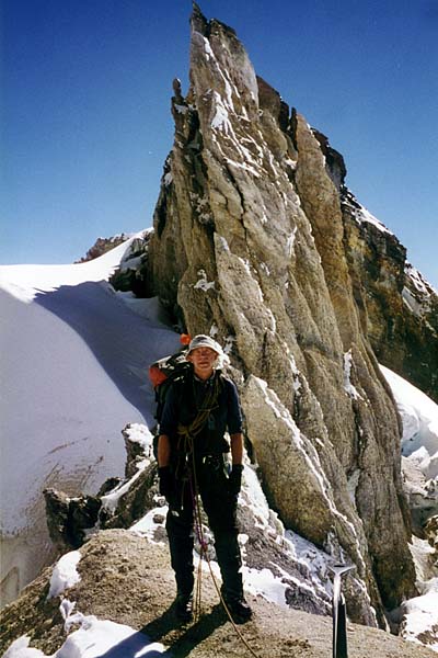
The adventure on Mount Baker - 10,780'-began on September 7, when Lucy and I drove north to Seattle and Puget Sound. Our intention being a visit to the San Juan Islands and then on to Vancouver, Canada. We did neither of these things because of rain and fog in the Sound and decided to drive inland to Mount Baker. After one wet night spent in the truck at the Park Butte trailhead, the weather cleared enough for us to haul up to a base camp, high on the 'Railway Grade' at 6,000'. The trail meanders through vast fields of blueberries and huckleberries and numerous Marmot colonies with their lime green, smelly poop littering the trail. No, I didn't try to feed them rocks ... in fact, they seemed quite timid compared with the Marmots at Whitney. We established camp by mid afternoon with the weather clearing and being within a few steps of the Easton glacier, we practiced crevasse extraction techniques until dusk. I did my best to survey the route we'd take the following morning, using the recent report from Willie Prittie of AAI. |
|
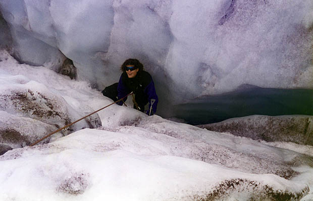

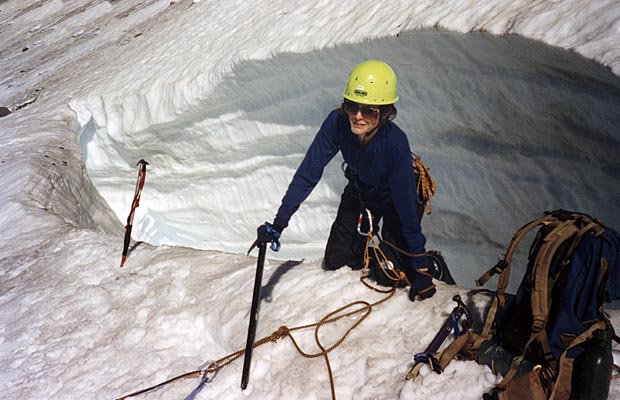
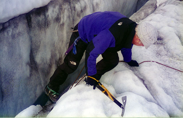
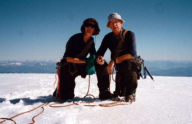
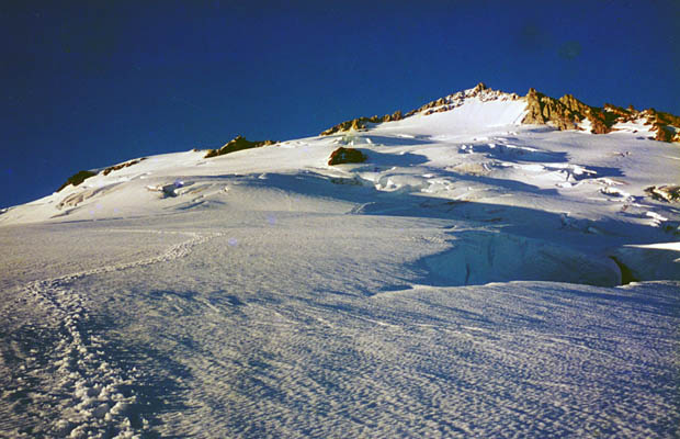
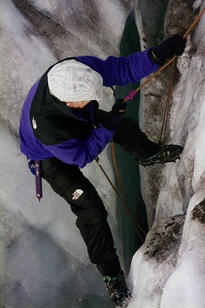
In late August he'd suggested an easterly route from the 6,000 ft level of the Railway Cleaver, passing below the prominent icefall, turning it to the east and then on a northern heading toward the crater, passing close beneath the gendarmes of Sherman Peak. From our vantage point the route looked generally feasible except for a heavily crevassed area between 8,000' and 9,000'. There appeared to be sections that offered no easy passage through, or around, very large crevasses. Oh well, as Hillary said 'nothing venture, nothing win'. The next morning at 5:50, in fine cool weather, we set off for the summit. There was just enough light to see the rims of crevasses on the exposed ice, swept clear of all snow. This changed as we approached the ramparts of the icefall, but by then, dawn made the task of spotting the snow covered cracks much easier. Progress for the first few hours was good. I left trail markers at various intervals, noting compass bearings between the markers and felt confident in making the summit if the route would 'go' above 8,000'. Unfortunately, Lucy went into her sleep mode as the sun came up, wasting valuable time while the snow was still firm. However, our delay was offset by placing Lucy in the lead for the next few hours. Not only did she come alive once more, but her pace was faster than I could have lead on the same steep slope. In the event, the difficult crevasse sections went safely and we made it to the crater edge by 1:00 pm. Amazingly, a solo climber strode past us at the crater, his route of ascent through the most perilous area of the Easton glacier. No doubt he'd been on the mountain before, but climbing without a rope, surrounded with such potential danger, classified the man as a complete idiot. The crater was very active ... spewing forth large amounts of steam and bubbling water from openings in the crater floor, not visible because of the dense steam. It smelt and sounded like the biggest geyser in Yellowstone. The sides of the crater are steep, plunging into the inferno below. This wouldn't be a good place to fall. The route from the crater is obvious ... swinging up the western rim onto a slope that steepens to about forty degrees and exposure to open crevasses on the face below. It wasn't a safe place, so after some procrastination on my part and a fall into a minor crevasse, I elected to continue directly up the slope using ice-ax belays for protection. This took time, which was becoming critical for a descent in daylight, but the lure of the summit was too strong and we continued, reaching the summit plateau at 4:10 pm. Ten minutes for photos and then down the slope as fast as safety would allow. |
|
|
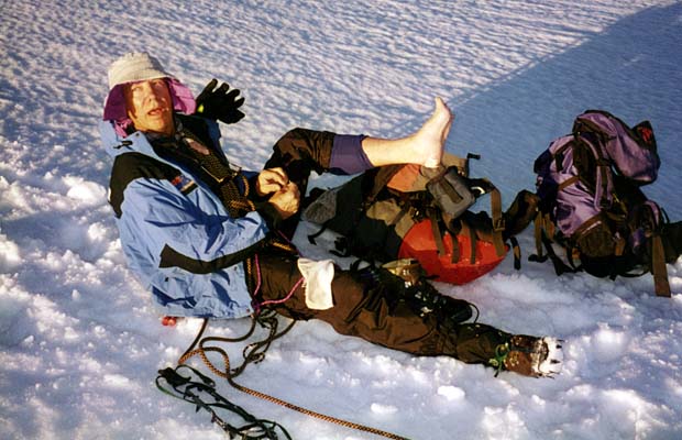
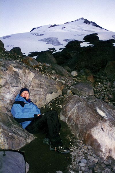
Despite the markers I'd left at various points on the route, I still managed to lose them through the lower section because of the fading light and confusion with the appearance of the terrain. I believed there was no safe choice but to traverse left off the glacier into a wilderness of rocks, cliffs and snow fields ... but at least safe from crevasses. Our tent was at the same level, but it may as well have been light-years away, situated somewhere on the far side of the Easton Glacier. The only plan I could muster was to attempt to intercept the Scott Paul trail which would be approximately 1,500' below and could guarantee a safe crossing of the terminal moraine. Alas, we made little progress down the rocks before darkness and the rough terrain made further movement too dangerous. We discovered a small rock enclave that was protected from the wind, put our feet in the packs and settled down for nine hours of darkness ... and cold. In retrospect, viewing yesterday's descent route from the camp, there were alternatives that could have got us back to the tent the night before, had I been more familiar with the layout of the terrain, but to have continued moving over such dangerous, unknown ground in the dark was just inviting a nasty accident. I'm content with the choice we made ... a night on cold ground in the open, was a small price to pay for a late season summit victory and a safe return.
Copyright©2013 Peter Tremayne, Reno NV |
Return to Top
latest news2020 | latest news2019 | latest news2018 | latest news2017 | home | main players | contact us | sierra nevada | jmt access map | jmt planning | 2024equipment | jmt schedules | jmt2016 | jmt 2015 | jmt 2014 | jmt 2013 | jmt 2012 | jmt 2011 | jmt 2010 | jmt 2009 | jmt 2008 | jmt 2007 | jmt 2006 | jmt 2005 | jmt 2004 | jmt 2002 | mt agassiz | mt sill | mt shasta | matterhorn peak | mt egmont | nz 2016 | mt rainier | mt shuksan | mt jefferson | pct sonora nth | pct tm nth | pct wa nth | mt baker | wonder trail | mera peak | mt adams | goat rocks | cascades 2003 | mt whitney | kaibab trail | presidents | antarctica | hoover pct | recesses | highrte2015 | highrte2016 | denali89 | benson lake | videos mp4 | tremaynes |