
Off the Beaten Track in New Zealand - March 2016
 |
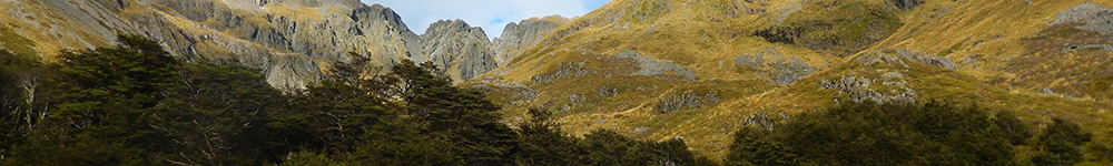
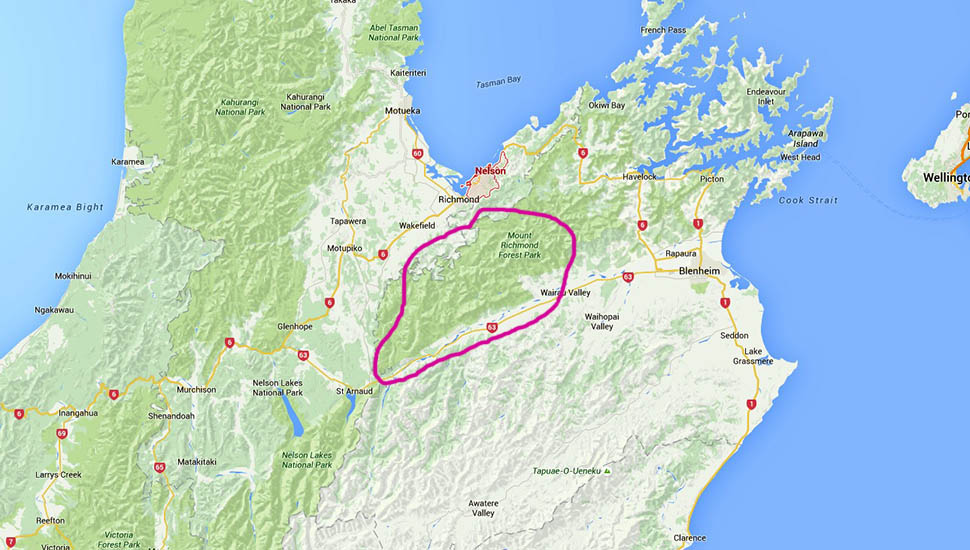
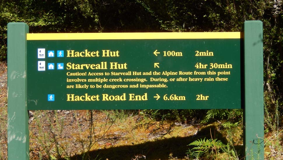
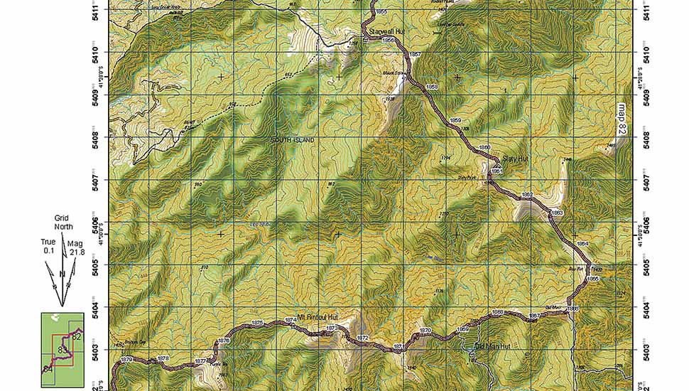
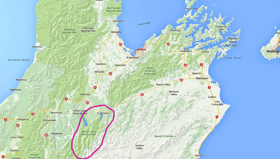
A spur of the moment decision to go backpacking in New Zealand's South Island high country turned out to be rather foolhardy for a late 70's adventurer like me. But my self confidence, bred by years of solo climbing and hiking in the Californian Sierra Nevada and Washington State Cascades ... and because of my New Zealand heritage and knowledge of the South Island mountains, the idea seemed totally safe and not particularly challenging. I'd selected sections of the "Te Araroa Trail" to hike; from above the town of Nelson, south to the Arthur's Pass highway between Christchurch and Greymouth. Some of this country I'd hiked during my survival training years with the Royal New Zealand Air Force in the late 1950's and early 1960's. After so many years, I guessed that the tracks would be vastly improved from their then primitive state, including the upgrading of huts and swing bridges. As it happened, this assumption was only partially correct. Once on Kiwi ground again, my overall impression was that the huts [large and small] were more than adequate, the river and creek crossings ... most with bridges, were safe; but the tramping tracks were atrocious: hard to follow, poorly maintained, unformed in many sections and potentially hazardous without taking extreme care. In the USA, on the Pacific Crest Trail, it's possible to walk the full 2,600 miles without encountering trail conditions like the [goat] tracks that I stumbled along in New Zealand. |
|
|

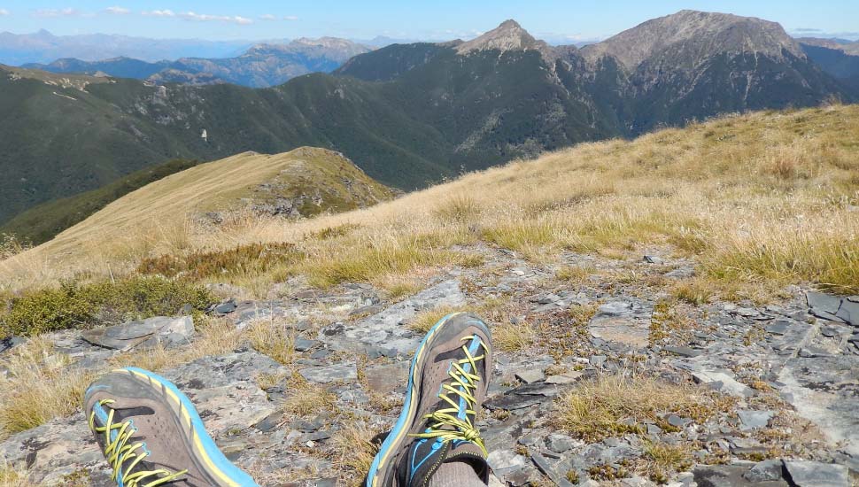
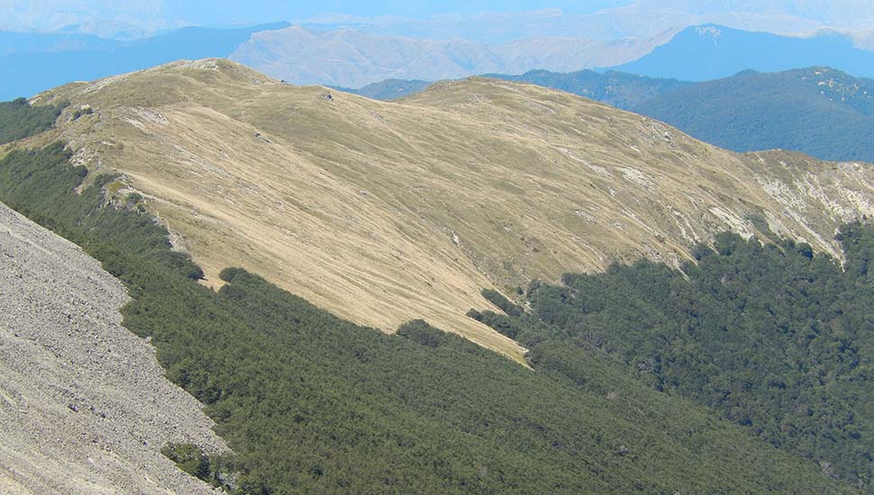
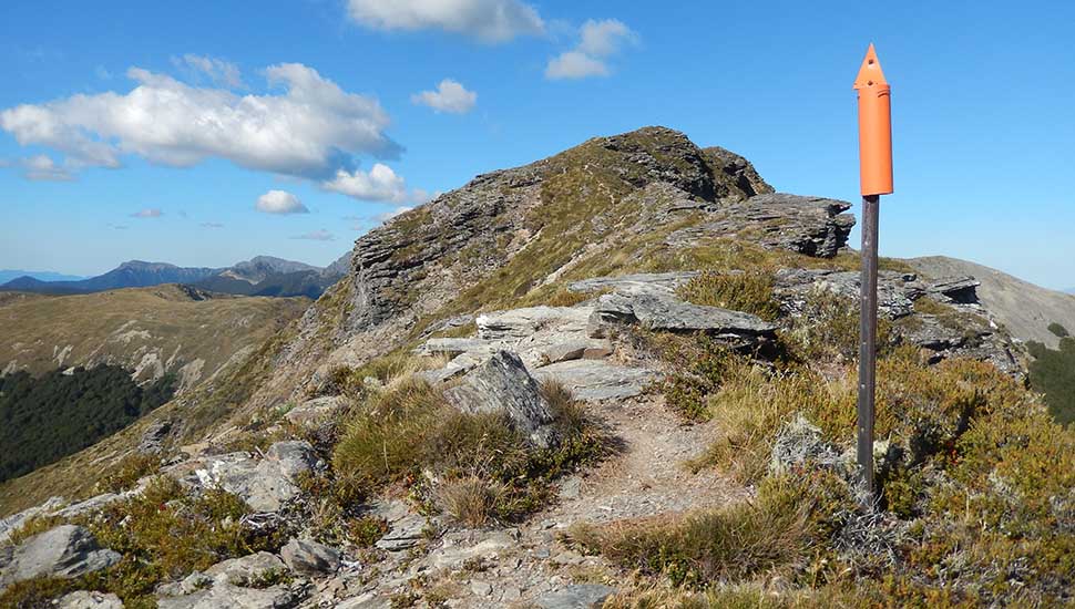
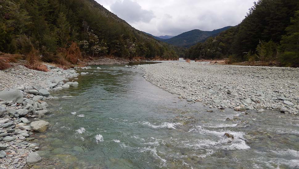
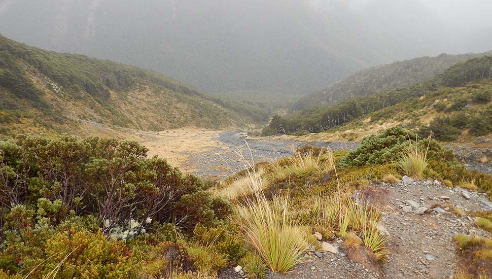
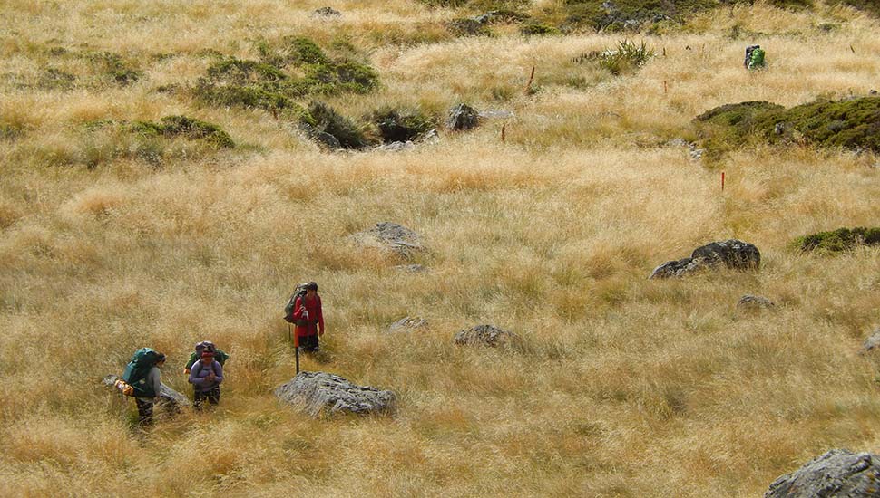
![The trail [route!] south from the Starveall Hut](images/216nz/216nzhiking011.jpg)
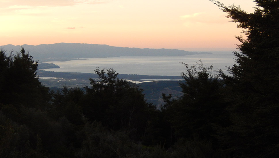
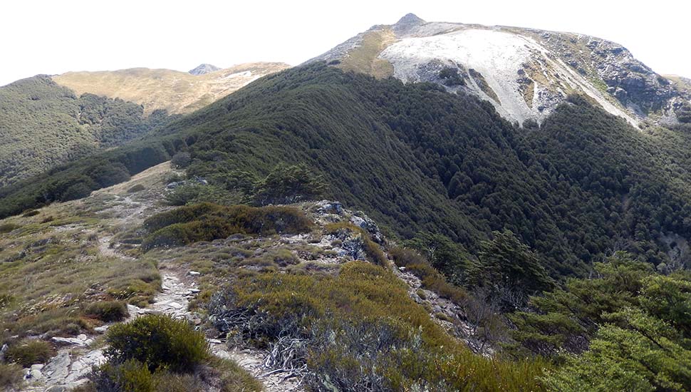
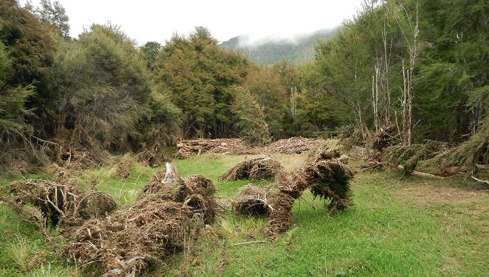
![Looking back down the trail [route!] to Starveall Hut - extreme left of image](images/216nz/216nzhiking020.jpg)
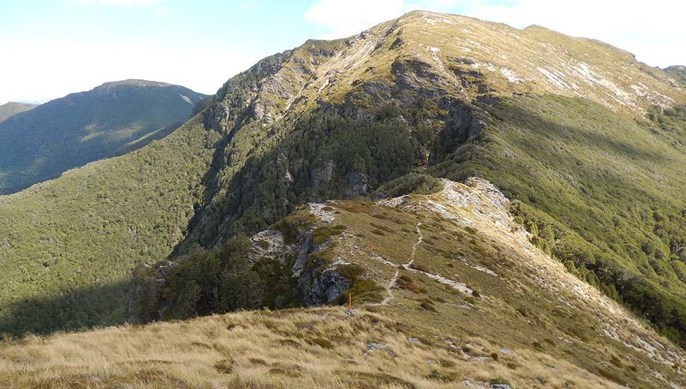
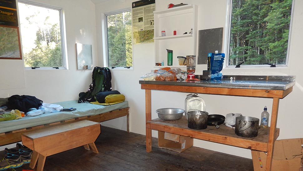
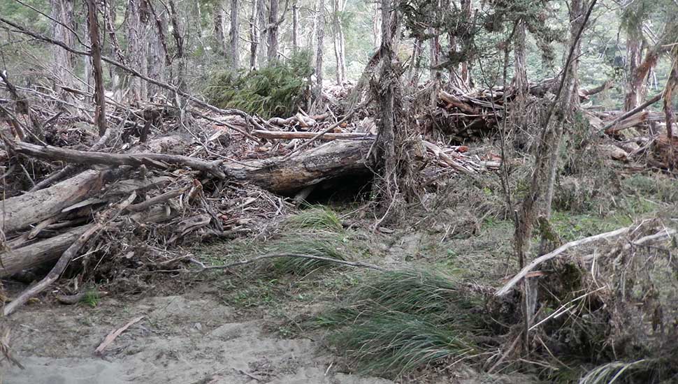
![My one tent night near the [full] Mid Goulter Hut.](images/216nz/216nzhiking061.jpg)
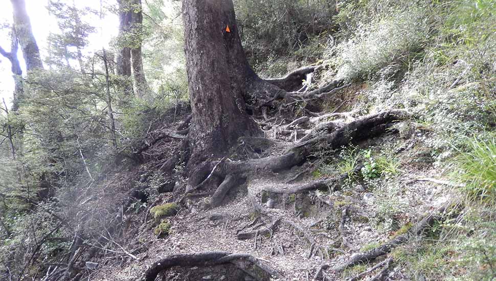
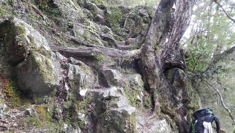
Possibly I'd selected sections of the Te Araroa Trail that were still in their primitive state, but if so, the New Zealand Government shouldn't be promoting this Trail as meeting International standards for hikers from North America and Europe. The so called "Tramping Tracks" that I walked in the Mount Richmond Forest Park and the Nelson lakes National Park were nothing more than "cross-country routes" when defined under standard USA trail classifications. Admittedly, the DOC [NZ Department of Conservation] have hidden in the fine print of their Track Brochures, the following comment: Our friends across the Tasman call it bushwalking. Visitors from the Northern Hemisphere refer to it as trekking or hiking. In New Zealand, heading off into the wilds with packs loaded for several days has long been referred to as tramping, a term which might seem mildly eccentric -until you visit the landscape. It is the rugged nature of the land which has shaped New Zealand's tramping culture and which also dictates the slow plodding movement sometimes necessary to move steadily through the backcountry on foot. Stumbling over tree roots, easing along a craggy ridge, or scrambling up a streambed of boulders is not everyone's idea of enjoyable travel, but such is the nature of New Zealand tracks that tramping is a more apt description for it than others. Despite my advanced age of 77, I still have no problem hiking-backpacking in the High Sierra for 10 miles [16 km] per day, at elevations above 10,000' [3,000 mtrs] and a pack weight of 32 lbs [15 kg]. So, this knowledge was my undoing in New Zealand: My food planning was based on a conservative 8 miles [13 km] per day along the Te Araroa Trail, but after the first few days clambering up and down the ridges of the Richmond Range, my pace was much slower than expected ... trying hard not to break a limb! It quickly became evident that I would run out of food before reaching St Arnaud [resupply point]. My decision was to bailout from the Trail at Old Man Hut, which took three more difficult days to reach civilization.
|
|
|
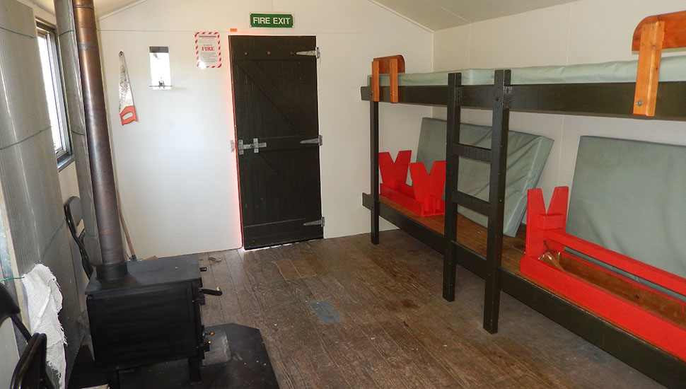
![Speargrass Hut [12 bunks] on the trail between Lakes' Rotoiti and Rotoroa](images/216nz/216nzhiking080.jpg)
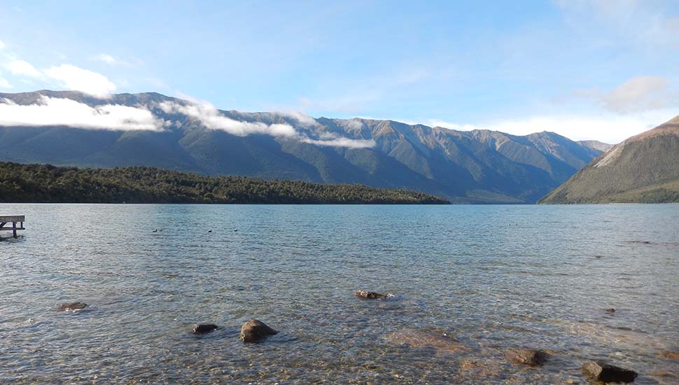
![The Rotoroa lake edge by Sabine Hut [32 bunks]](images/216nz/216nzhiking085.jpg)
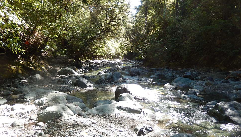
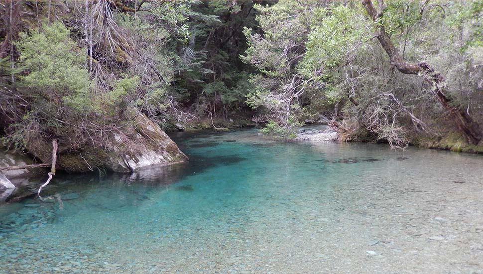
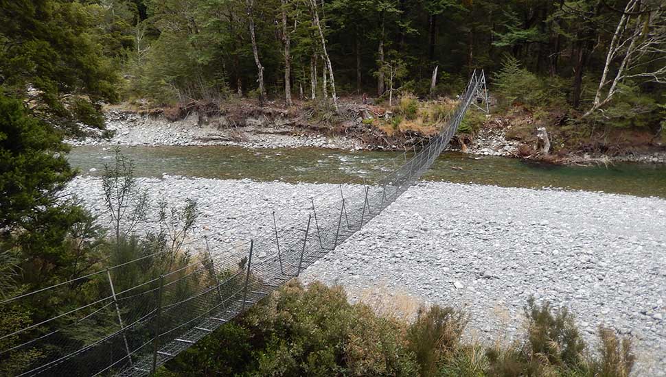
![Looking across the Sabine River to the West Sabine Hut [30 bunks]. A swing-bridge slightly upstream from here.](images/216nz/216nzhiking098.jpg)
![Looking south at the Upper Travers Hut [24 bunks]](images/216nz/216nzhiking116.jpg)
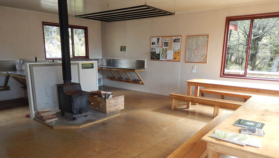
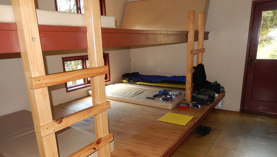
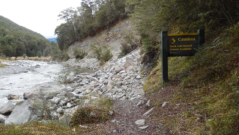
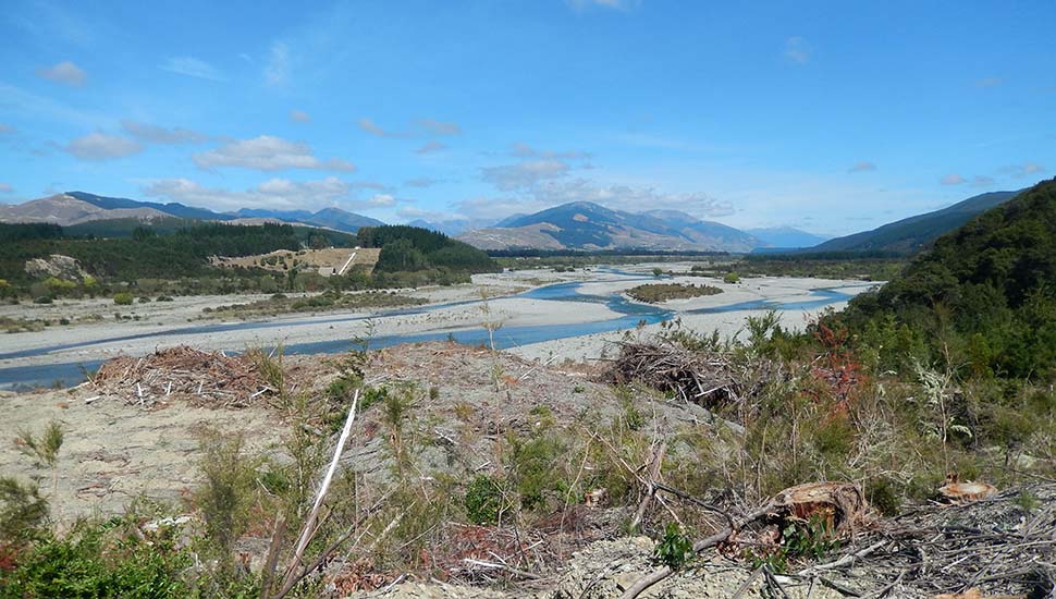
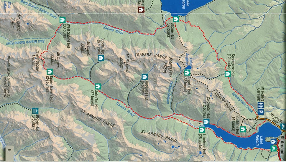
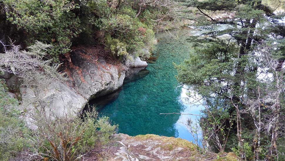
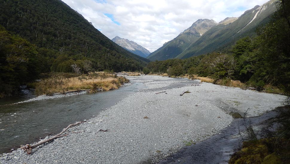
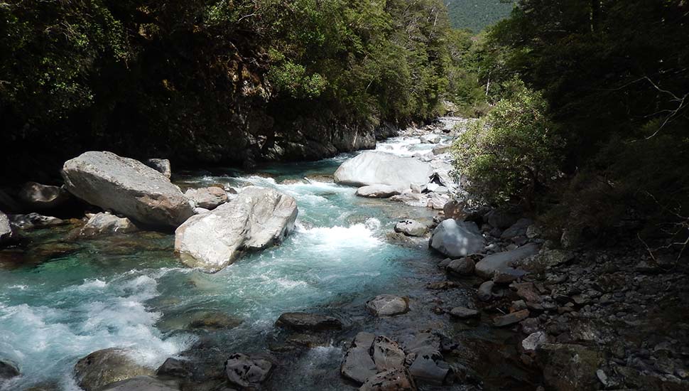
With this new understanding of bad trail conditions and the resulting slow progress, I decided against continuing south on the Te Araroa Trail from the town of St Arnaud to the next resupply point at Boyle River. Instead, I chose to backpack the "Travers-Sabine Circuit" within the Nelson Lakes National Park, in the expectation that it being a popular hike for both locals and overseas visitors, the trails would be well maintained and easy to follow. Also, the huts along the circuit were large enough that I wouldn't need a tent as backup and could easily carry food for the expected 6-7 days before returning to St Arnaud. The round trip took me 7 days, which included a zero day at Upper Travers Hut. The trail between St Arnaud and this Hut was acceptable; easy to follow and well formed in most sections. The trail over Travers Saddle is listed as a "route" and difficult to follow; steep and rough. What did surprise me was the terrible state of the trail between West Sabine and Sabine Huts, despite it's heavy use by backpackers who come in from Lake Rotoroa [by boat] and hike to West Sabine Hut, with a day trip further south to see Blue Lake. My overall assessment of the trails in this part of New Zealand: The huts are very good [particularly for a High Sierra tent dweller like me], the swing bridges are reasonably safe, but getting from one hut to the next is somewhat hazardous and definitely not an enjoyable outdoor experience. Look at the associated photos from along these scruffy trails and be careful what you wish for in New Zealand. See also my actual NZ Schedule
©2016 Peter Tremayne, Reno NV
|
Back to Top
latest news2020 | latest news2019 | latest news2018 | latest news2017 | home | main players | contact us | sierra nevada | jmt access map | jmt planning | 2024equipment | jmt schedules | jmt2016 | jmt 2015 | jmt 2014 | jmt 2013 | jmt 2012 | jmt 2011 | jmt 2010 | jmt 2009 | jmt 2008 | jmt 2007 | jmt 2006 | jmt 2005 | jmt 2004 | jmt 2002 | mt agassiz | mt sill | mt shasta | matterhorn peak | mt egmont | nz 2016 | mt rainier | mt shuksan | mt jefferson | pct sonora nth | pct tm nth | pct wa nth | mt baker | wonder trail | mera peak | mt adams | goat rocks | cascades 2003 | mt whitney | kaibab trail | presidents | antarctica | hoover pct | recesses | highrte2015 | highrte2016 | denali89 | benson lake | videos mp4 | tremaynes |