

PCT 2008: Sonora Pass to Virginia Canyon
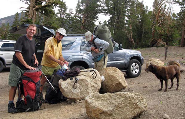
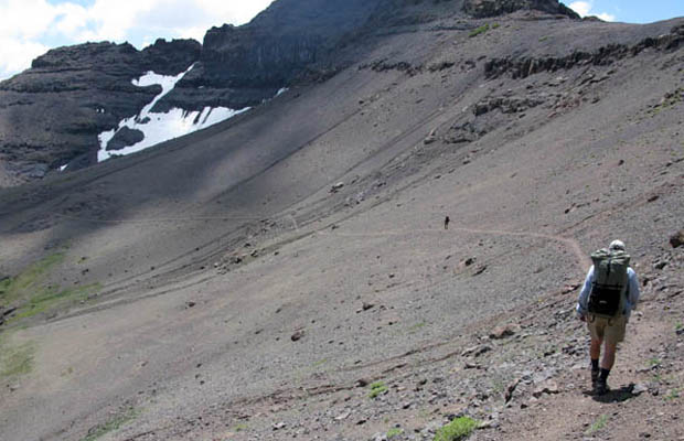
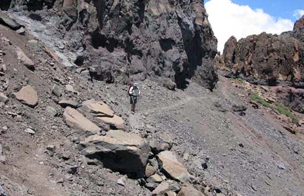
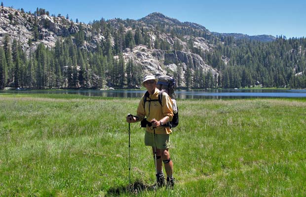
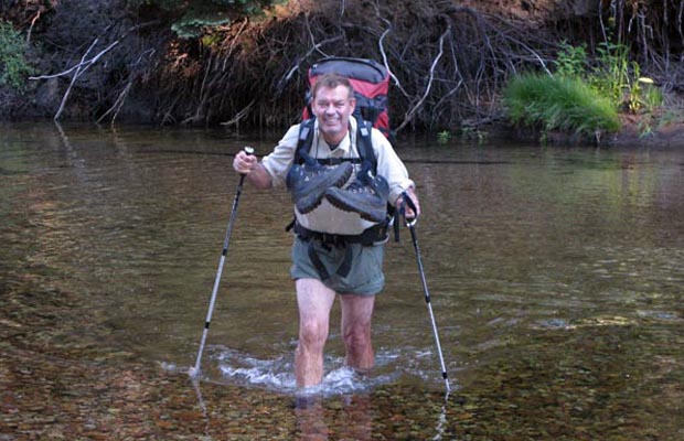
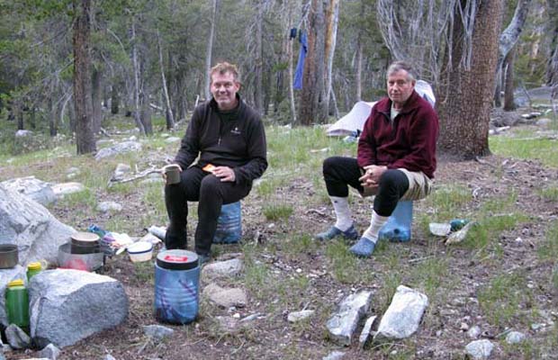
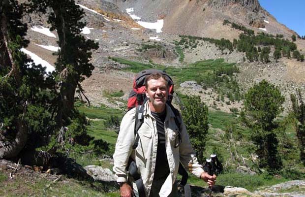
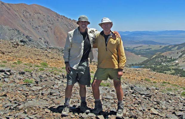
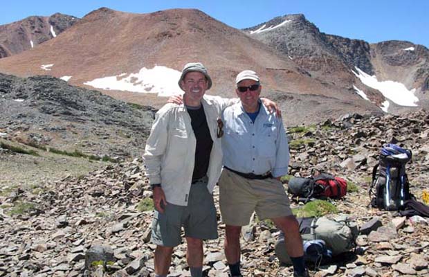
My second trip for 2008 was a 71 mile hike, southbound on the PCT from Sonora Pass to Return Creek, and then exiting Yosemite NP via the Virginia Lakes trailhead. During this six day journey I was accompanied by Jim Slade and Jim Keogh. On 21 July Lucy drove us from Reno to Sonora Pass and collected us at Virginia Lakes Resort on 26 July. This section of the PCT is characterized by deep spectacular canyons, crossed one after another ... with the trail moving mostly against the grain of the landscape. Unlike the PCT/JMT sections south of Yosemite NP, the many mountain passes along the trail are below tree line, except within the 15 miles south of Sonora Pass, an area of volcanic sediments rather than the granitic domain of Yosemite. So our first day of travel was dry and dusty, across a barren volcanic landscape, well above the tree line and any sources of water. After 9 miles of this alpine desert, we thankfully descended into the green environment of Kennedy Canyon where we made our first camp. We'd calculated the trip would require an average travel rate of 13 miles per day ... a plan that was harder than expected because of the vertical lift involved to enter and exit the many canyons along the trail.
|
|
|
|
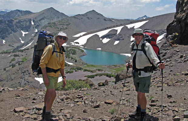
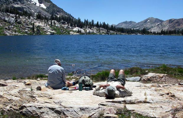
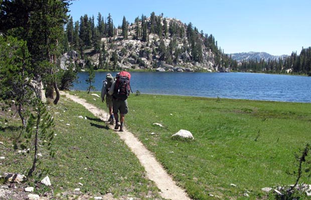
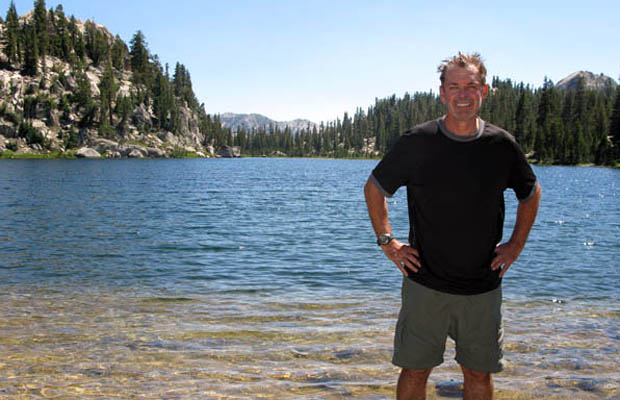
Most of our overnight camps were on the canyon floors and therefore warmer than the Sierra average, but the pleasure was diminished by plagues of mosquitoes. One exception was on the shores of Smedberg Lake, a beautiful high elevation lake surrounded by granite slabs and with waters teaming with large trout. Apparently a popular destination for wilderness fisherman despite its remoteness from trailheads, the closest being at least two days hike. After leaving Smedberg Lake and crossing Benson Pass, we descended the 1800' into Matterhorn Canyon, possibly the most impressive scenic feature of our journey. Of course, we then had to climb out of the canyon, 1000' up to Miller Lake (a hidden gem!), followed by an immediate 1000' descent to the Spiller Creek crossing. Then this longest day became easier after leaving the PCT at Return Creek, turning off on the Virginia Canyon Trail which we then followed northeast for two miles before making our last night's camp. The final day involved a relatively easy 8 mile hike out to the Virginia Lakes Resort. |


Return to Top
latest news2020 | latest news2019 | latest news2018 | latest news2017 | home | main players | contact us | sierra nevada | jmt access map | jmt planning | 2024equipment | jmt schedules | jmt2016 | jmt 2015 | jmt 2014 | jmt 2013 | jmt 2012 | jmt 2011 | jmt 2010 | jmt 2009 | jmt 2008 | jmt 2007 | jmt 2006 | jmt 2005 | jmt 2004 | jmt 2002 | mt agassiz | mt sill | mt shasta | matterhorn peak | mt egmont | nz 2016 | mt rainier | mt shuksan | mt jefferson | pct sonora nth | pct tm nth | pct wa nth | mt baker | wonder trail | mera peak | mt adams | goat rocks | cascades 2003 | mt whitney | kaibab trail | presidents | antarctica | hoover pct | recesses | highrte2015 | highrte2016 | denali89 | benson lake | videos mp4 | tremaynes |