
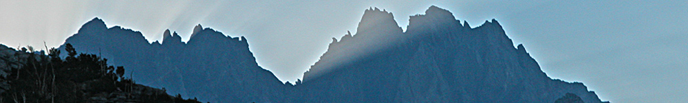
The 2005 John Muir Trail Hike
|
|
This year's JMT hike turned out to be quite different from the version Lucy and I completed in 2004. For starters, we began walking the Trail from Tuolumne Meadows, choosing to discard the first 24 miles from Happy Isles as unappealing; the Yosemite Valley trailhead is crowded with day-tripping tourists, for whom we have little regard. The second factor that influenced the way we planned the trip was our reliance on only one vehicle, making the concept of leapfrogging road transport between Yosemite and Whitney Portal unworkable without the help of friends or commercial shuttles. Our good friend Pat Jenkins, who was trout fishing in the Bishop area, helped with an initial positioning of our vehicle at South Lake trailhead before returning us to Mammoth Lakes. From there, we rode the YARTS bus to Tuolumne Meadows for the start of the hike. Our intent was to walk south on the JMT with small re-supplies at Reds Meadow and VVR (Vermilion Valley Resort); choosing not to exit at Mammoth Lakes for a day off
|
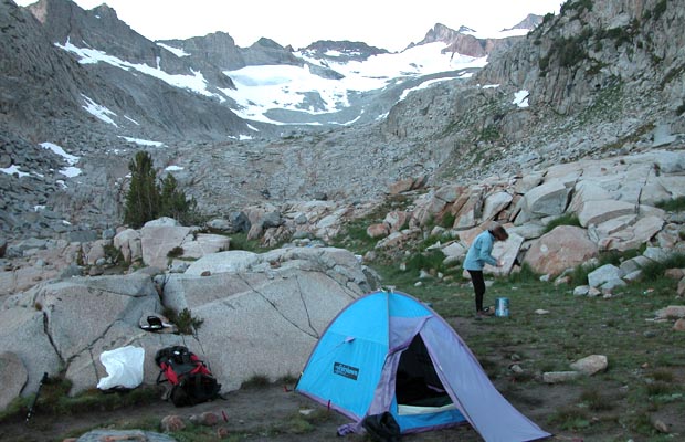
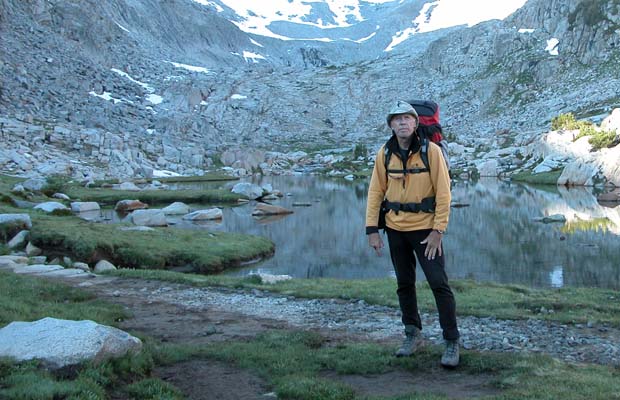
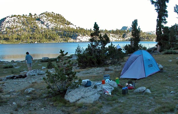
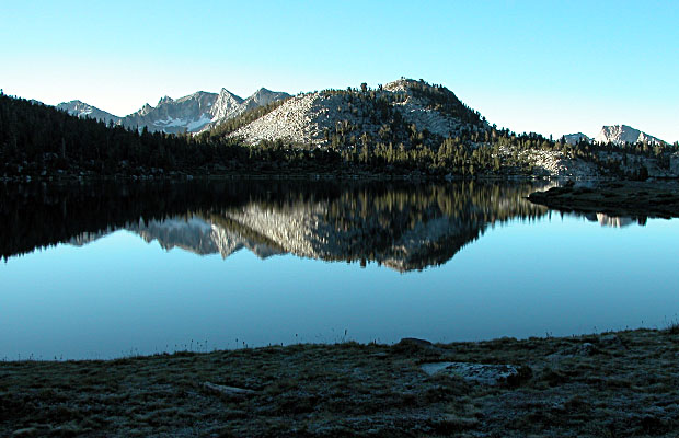
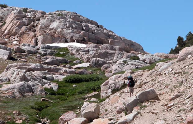
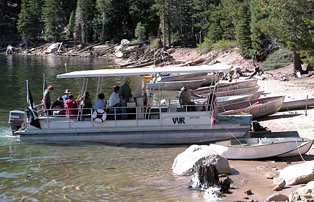
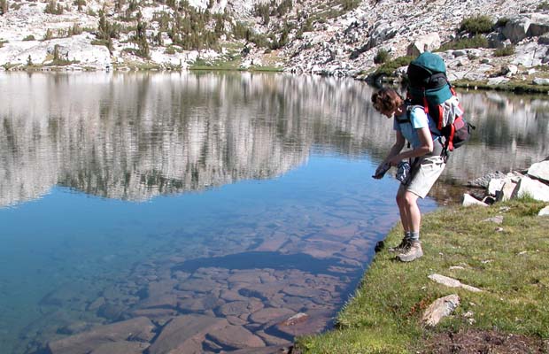
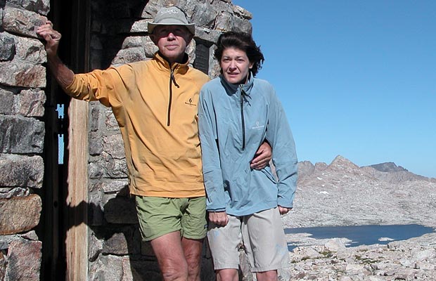
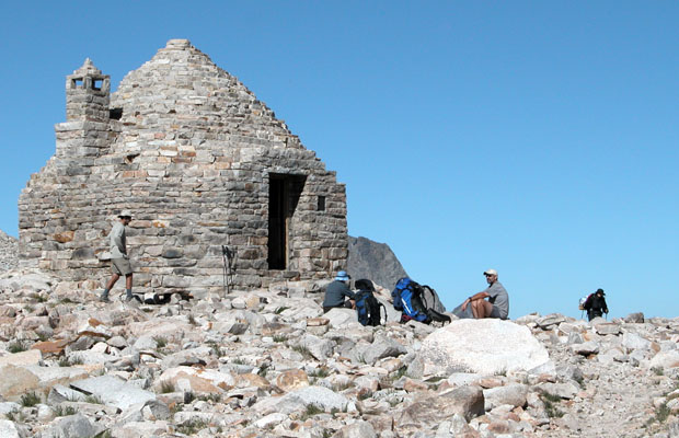
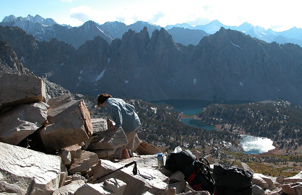
Our main resupply point was to be over Bishop Pass to the South Lake trailhead. It took 11 days, including a day off at VVR, to hike the 118 miles from Tuolumne to South Lake. On the way, we made two deviations from the JMT, choosing to walk parallel trails for some variation in the routine and experience new locations and sights. For example, on the fifth day we crossed Goodale Pass on a direct route from high on the JMT, to VVR ... a daily distance of 17 miles from Virginia Lake where we'd camped the night before. After the day off at VVR, we took the normal ferry ride across Edison Lake to intercept the JMT once more, heading south to spend the night at Upper Bear Creek Meadow. On the ninth night we camped in the Upper Evolution Valley at an elevation of 11,300', not far below Muir Pass. |
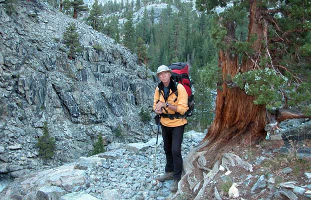
As we crossed Bishop Pass on the way to South Lake and our resupply point, cellphone contact delivered messages that required us to return urgently to Vancouver. Reluctantly, we decided to temporarily abandon the JMT and drive home, with a tentative plan to continue from South Lake in approximately two weeks time. We left the Sierras on 2nd September; eventually returning to South Lake on 17th September and to a noticeable downward shift in temperatures and available daylight. For the first two days back in the mountains, we were playing catch-up, completing 15 miles each day in an attempt to be over Pinchot Pass to Woods Creek by the third night. We made it, only to wake to a morning of steady rain, and snow falling on the surrounding peaks. Lacking sufficient food to sit it out, we set off for Rae Lakes, finally seeking the shelter of our small tent after 8 miles, wet through and very cold! |
|
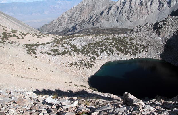
The following morning, under clear skies once more, we crossed the 12,000' Glen Pass in wet snow and then decided to bailout from the JMT over Kearsarge Pass to Onion Valley. Ranger information indicated difficult snow conditions on the 13,200' Forester Pass and the 13,600' Trail Crest Pass near Mt. Whitney. We exited the mountains at Onion Valley on 22nd September, concluding a somewhat fractured JMT hike, too late in the season for optimum weather conditions. However, we did walk a total of 192 miles and climbed a cumulative height of 35,000' ... not too shabby for the likes of us. See attached schedule.
©Peter W Tremayne Vancouver, WA October 2005 Back to Top |
latest news2020 | latest news2019 | latest news2018 | latest news2017 | home | main players | contact us | sierra nevada | jmt access map | jmt planning | 2024equipment | jmt schedules | jmt2016 | jmt 2015 | jmt 2014 | jmt 2013 | jmt 2012 | jmt 2011 | jmt 2010 | jmt 2009 | jmt 2008 | jmt 2007 | jmt 2006 | jmt 2005 | jmt 2004 | jmt 2002 | mt agassiz | mt sill | mt shasta | matterhorn peak | mt egmont | nz 2016 | mt rainier | mt shuksan | mt jefferson | pct sonora nth | pct tm nth | pct wa nth | mt baker | wonder trail | mera peak | mt adams | goat rocks | cascades 2003 | mt whitney | kaibab trail | presidents | antarctica | hoover pct | recesses | highrte2015 | highrte2016 | denali89 | benson lake | videos mp4 | tremaynes |