
Latest Tales from the Tinman -2019
Email Contact: tinknees@charter.net
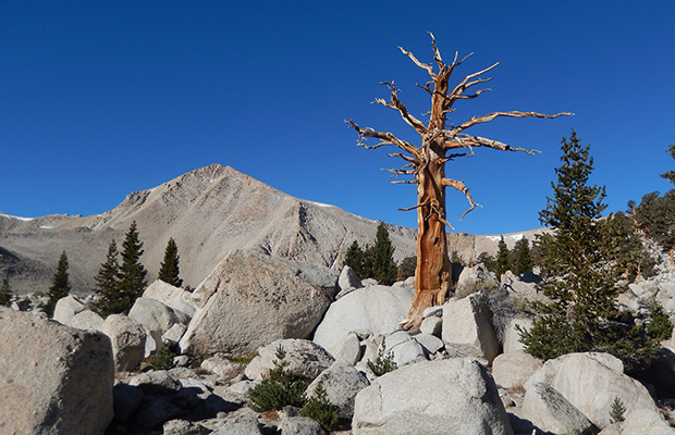
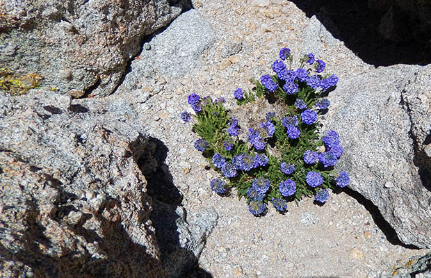
Dreaming of Antelopes in Iceland - late September 2019 |
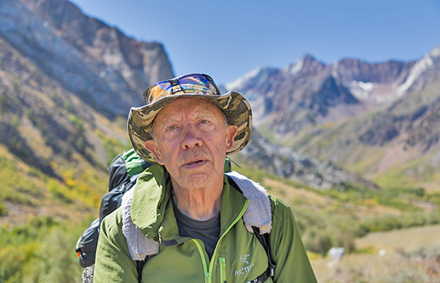
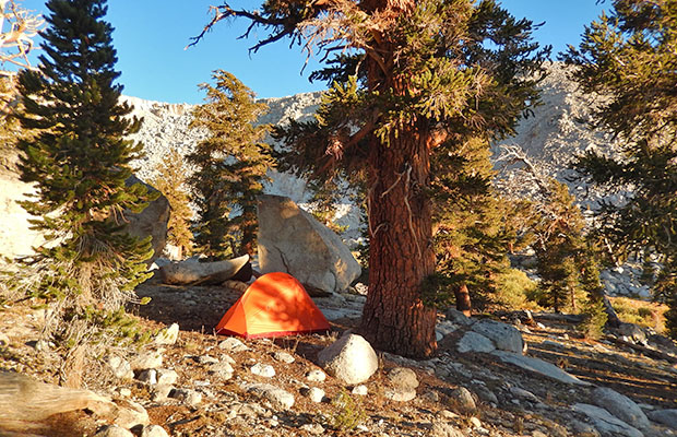
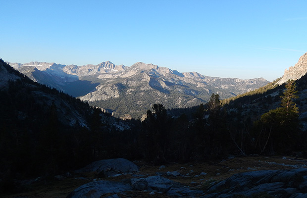
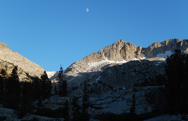
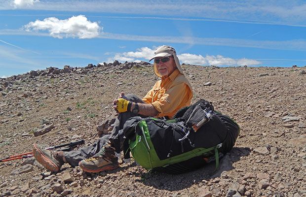
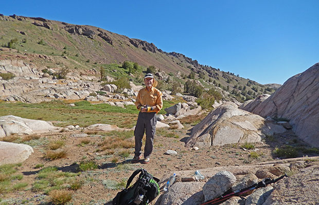
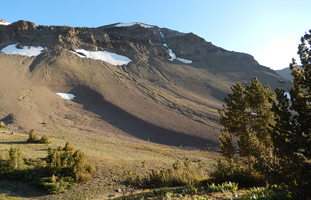
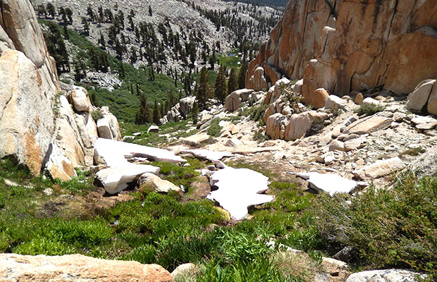
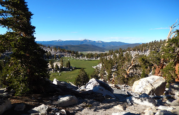
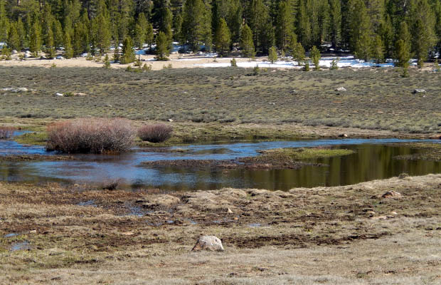
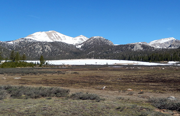
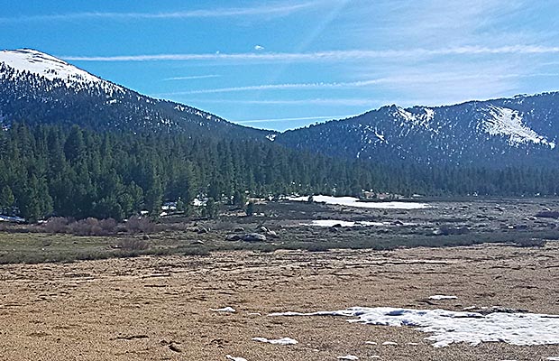
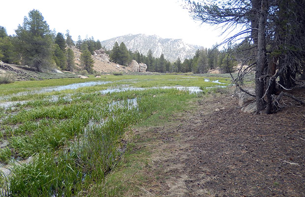
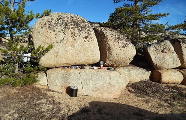
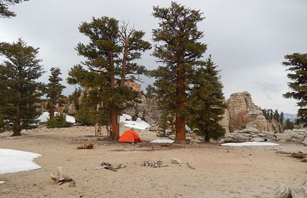
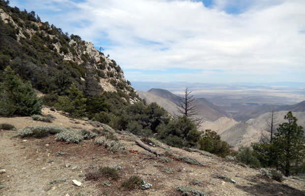
For my Last Gasp hike of the 2019 season, I’d planned to reach VVR before it closed for the year, but alas, it wasn’t to be. I entered the Sierra from McGee Creek trailhead on Sep 22nd with the intent of crossing Hopkins Pass into the Hopkins Basin and down Mono Creek trail to VVR for food resupply. I would then return to the Mono Creek Trail and join the Sierra High Route in Laurel Basin, crossing over to Tully Lake, followed by an exit over McGee Pass back to the trailhead, and my vehicle by Sep 30th. The first problem I encountered was a snowbank blocking any safe access over Hopkins Pass, so I made a quick change to use McGee Pass, only to find hard-packed snow blocking this Pass as well. Using my Garmin InReach device I made contact with Bob Williams for information on VVR’s current status. He informed me of the imminent closure of the Resort, so the use of either Duck or Mono Pass to reach VVR was a pointless alternative. With this new situation in mind, I bailed out of the McGee Creek valley and drove south to Lone Pine for a Permit to enter the Cottonwood Lakes Trail for five days.
|
|
|
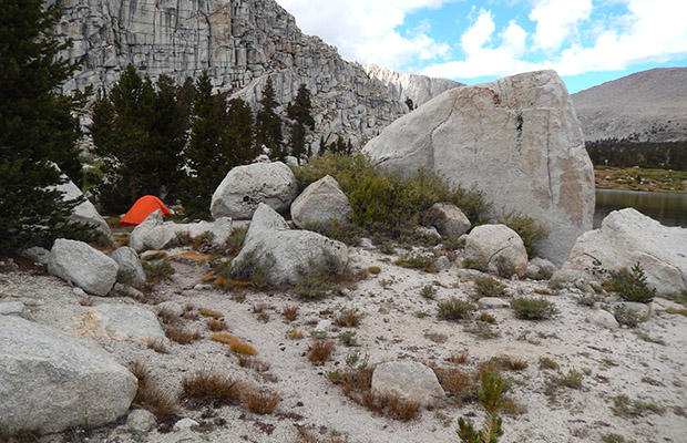
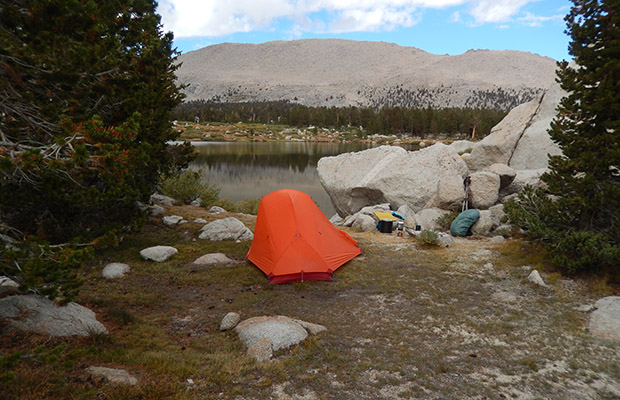
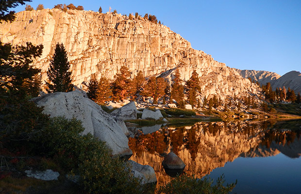
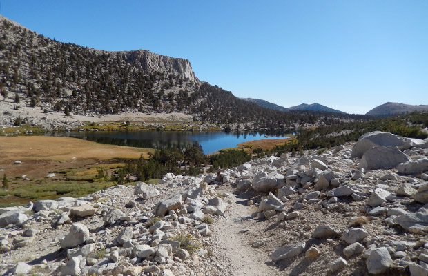
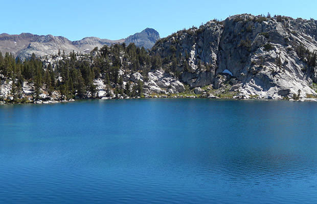
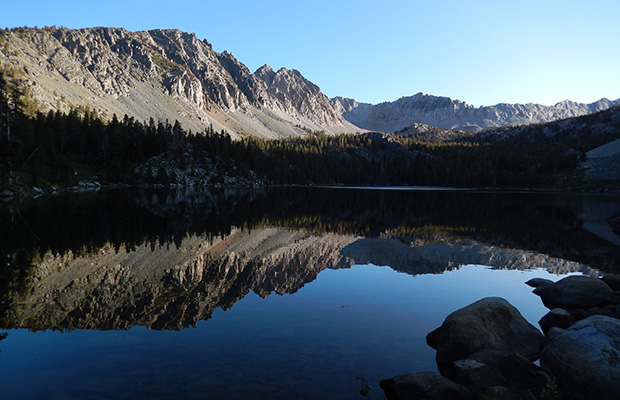
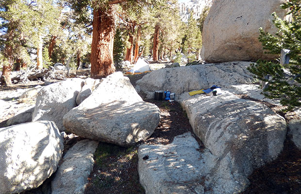
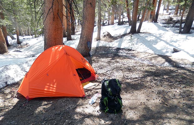
Before trail entry, I spent the first night at the Horseshoe Meadow campground, enjoying the company of brothers, Jim and Tom, who planned to join the PCT over Cottonwood Pass for a final destination of Miter Basin. Since I was heading for the same location, but using different trails and access points, we agreed to keep in touch using our Garmin InReach devices. My first day on the Cottonwood Lakes Trail ended early because of a hailstorm. I set up camp at Lake No. 2, one mile short of Long Lake, my planned destination. This made little difference in travel time the next day on my journey over New Army Pass, then up the ramp on the Mount Langley climbing route to 12,400’, with a left turn descending the switchbacks to Upper Soldier Lake. Camped at my last favorite site I’d named Big Fox the previous year, I received an InReach message from Jim explaining that they were camped in Miter Basin, but leaving first thing the following day because Tom was suffering from altitude sickness. Both our locations were above 11,000’, but unlike Jim and Tom who were flatlanders from southern California, my home was at 6,000’ near Lake Tahoe, and I'd never suffered altitude problems in the High Sierra. However, I did have a problem with the weather. For most of my second day, a cold wind had plagued my hiking, particularly along the high ridge leading to the 14,000’ summit of Mount Langley, and was continuing to increase at my campsite. Furthermore, every night during this Last Gasp trip, I’d spent shivering in my inadequate Western Mountaineering (20°F) sleeping bag, one I’d been using for 12 years. I’d recently tried following WM’s washing/drying methods, but it seems the down was still clumping, leaving many cold spots. Johannes, my GP (German Professor), had strongly suggested that I deep-six the bag! The crazy thing was that I actually possess a WM (5°F) “Antelope” bag, which I’ve only used for winter camping, but a bag I should’ve brought on this trip because of the rapidly dropping temperatures this early Fall. So each night, I’d been dreaming of what it would be like wrapped in my Antelope instead of freezing, fully clothed, in the only bag I had available. The result was an easy decision to spend only one night at Upper Soldier Lake and head back to Horseshoe Meadow via Lower Soldier Lake and the PCT. I met with Jim and Tom slowly making their way back to Cottonwood Pass, in the persistent cold wind that had me bypassing Chicken Spring Lake as a campsite; instead descending to the western end of Horseshoe Meadow for a final night in a temperature of 26°F. Get me out of these mountains before the snow arrives!
|
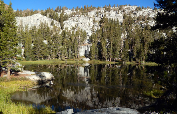

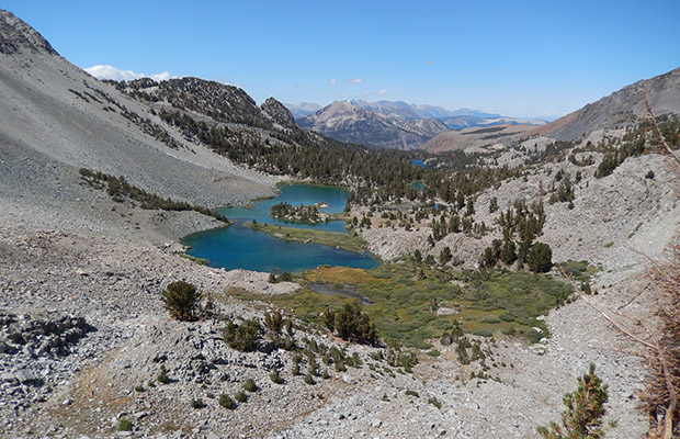
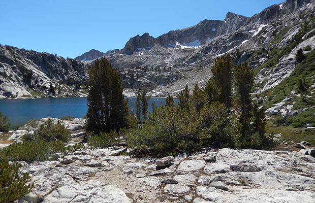
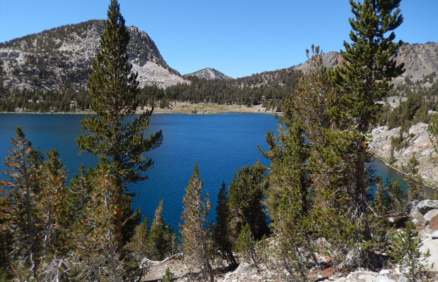
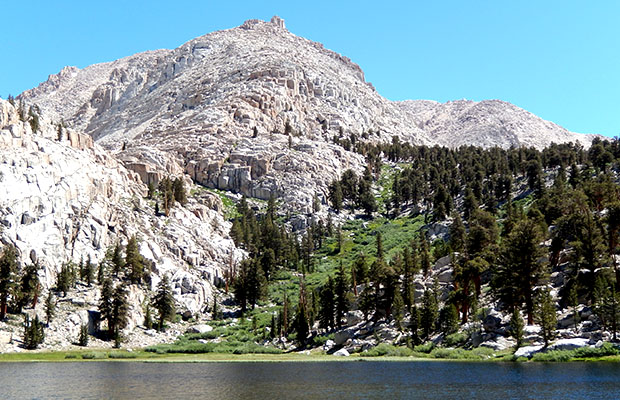
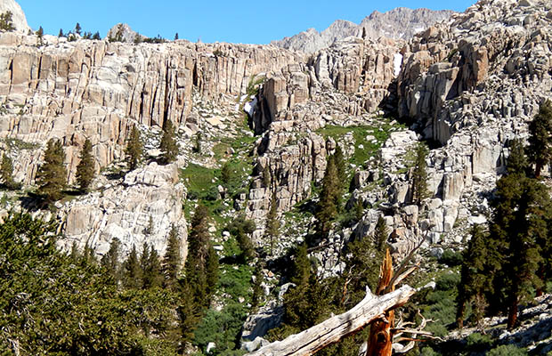
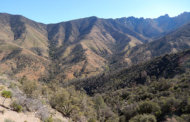
Hooked on Hortense (Lake that is) - early September 2019 |
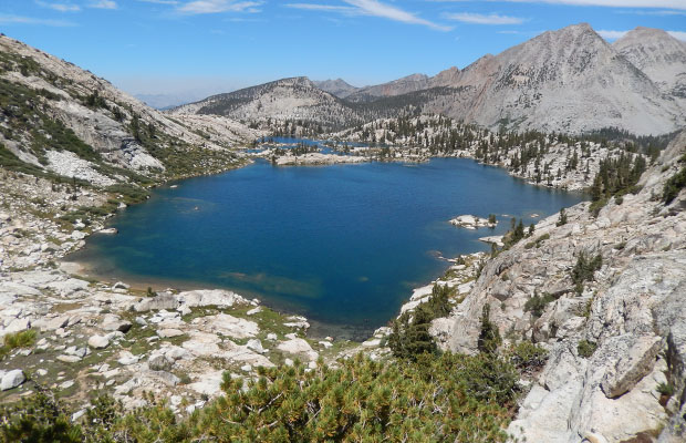
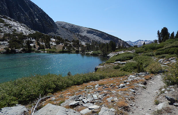
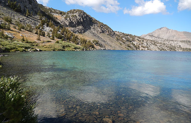
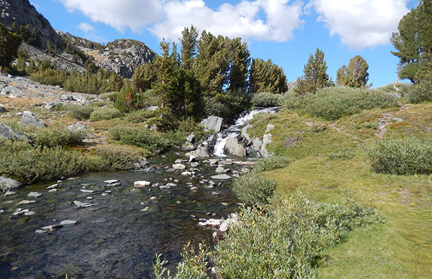
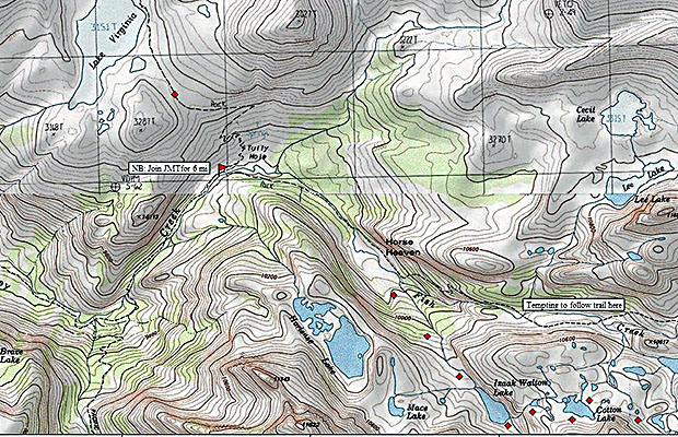
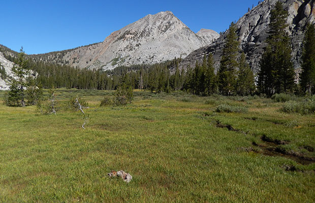
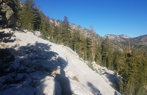
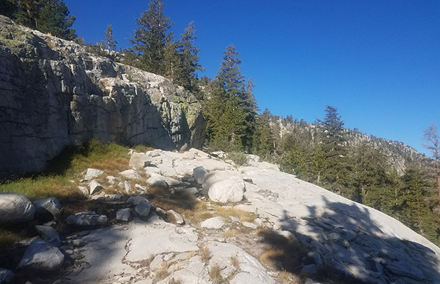
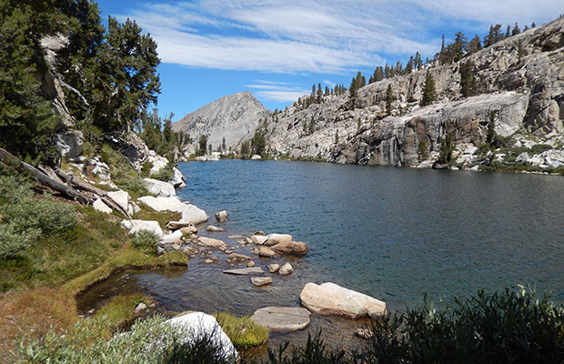
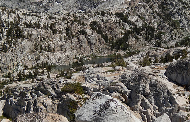
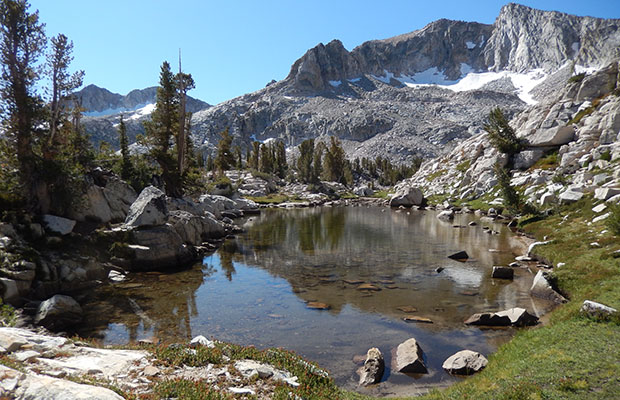
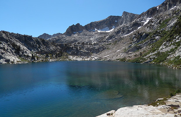
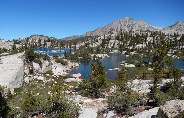
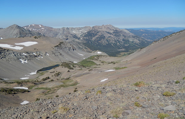
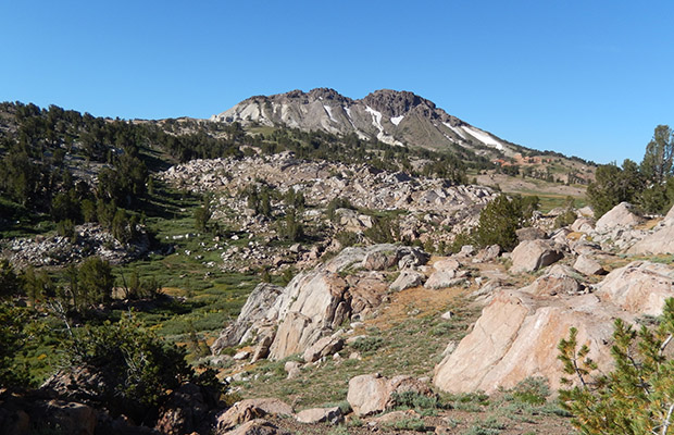
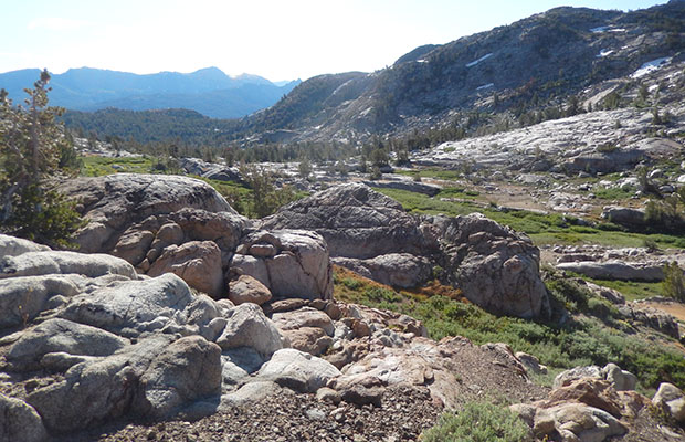
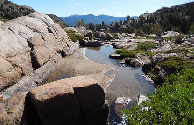
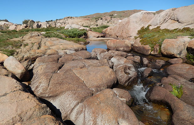
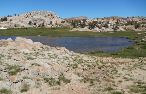
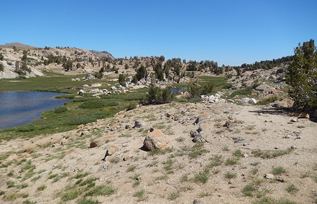
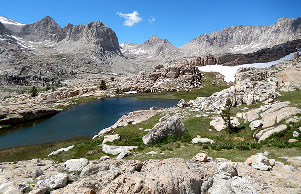
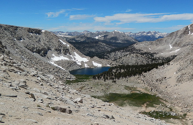
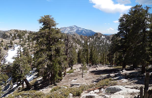
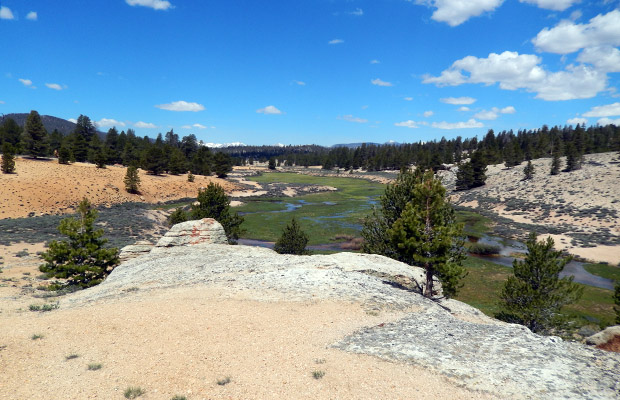
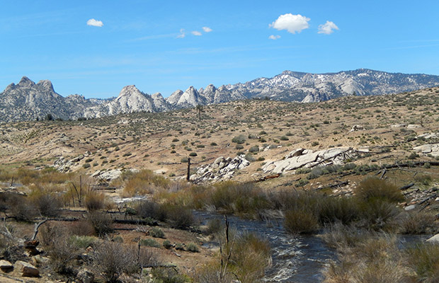
My desire to stand on the shoreline of Hortense Lake dated back two years from a meeting with a hiker along the Mono Creek Trail in late September of 2017. The hiker, Jim, was celebrating his 50th birthday with a travel circuit that had included a climb from the McGee Pass Trail up to Hortense Lake, an ascent and subsequent descent that had scared the heck out of him. He admitted that he’d chosen one of the most challenging routes to reach the Lake, possibly a direct ascent from Horse Heaven? One year later, while I was completing a section of the Sierra High Route from Laurel Basin over Bighorn and Shout of Relief Passes down to Izaak Walton Lake, I made a brief side trip up to the southeast end of Hortense Lake. Once there, I found myself standing on the edge of a vertical rock face one hundred feet above the shoreline, with no visible line of safe descent. I took several photos of this stunning body of water that was surrounded by high rock walls and the southwest face of the Silver Divide, then retraced my route back to a camp at Tully Lake, with a plan to return the following year. In early September 2019, my quest for Hortense was on again. This time I started by hiking over Duck Pass from the Upper Mammoth Lakes, then south on the JMT to Tully Hole, with a left turn onto the McGee Pass Trail up to Horse Heaven. This is where the fun began, with a determination to discover the Sierra High Route up to Izaak Walton Lake from where I was hoping it would be easy to retrace last year’s steps up to Hortense Lake. The first trick was dry-footing it across the water-logged Horse Heaven Meadow to where enormous rocks began the steep climb up the right side of the cascading creek that exits Izaak Walton Lake. I’m sure there was no easy route through the massive rocks, fallen trees, and vertical faces of this section, and I chose one that worked well until I found myself hanging off leaning rock slabs that forced me into Class 4 climbing moves. Moves that I knew I’d be unable to use for down-climbing safely, so I’d have to find a more friendly route on the way back out in a few days.
|
|
|
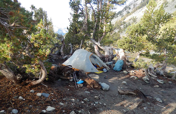
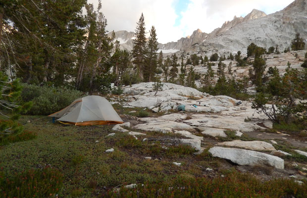
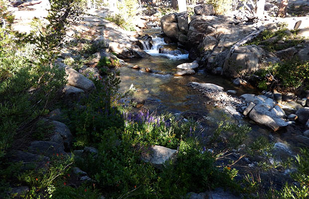
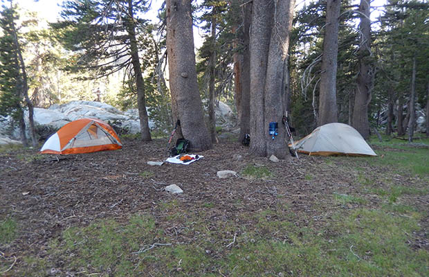
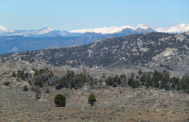
Shortly after topping out from the steep section, the slope eased and finally leveled onto a small high meadow that was short of Izaak Lake but ideal for a base camp for two nights with easy access to the flowing water of the main creek. The following day was to be my in-depth exploration of Hortense Lake, but lay awake for some time worrying about finding a safe descent back down to Horse Heaven after the Hortense day, and decided to search first thing in the morning for a bypass of the potentially dangerous terrain. It took one hour the next day to find a work-around the problem area. It was there, just not apparent during my clambering the previous day. With that piece of mind in place, I set off climbing relatively easy broken rock slabs up to the rim of cliffs surrounding Hortense, then finding an access route from a pond that led me down a steep “use trail” to the Lake’s eastern shore. Hiking the coast in a counterclockwise direction to reach the isthmus that separates two sections of Hortense Lake was a difficult and often hazardous exercise. Once on the isthmus it became evident that few people have been at Hortense in many years. I was not surprised, considering how difficult any access to the Lake seems to be. There may be a more direct route from Tully Hole, a task for next year perhaps? Before backtracking down to my camp near Izaak Walton Lake, I took photos of Hortense from as many angles possible, dependent on the terrain. That night I slept well in the knowledge that I’d achieved my goal of walking the shore of Hortense and could expect to reach Horse Heaven safely the next morning. The great people I met on the Trail: Finn from Berlin (thanks for carrying my pack across the creek); the two ladies from Warner Springs; the four boys from the Bay, interested in my Hoka One One boots and my politics; "Mini Mouse" from Korea; the Father -Son team from Hollister; the young couple from Santa Barbara; Izzie and Ozzie from Australia; Carl from Orange County; the young Brit couple on their honeymoon; May from the Central Valley, going to Queenstown NZ in October; and lastly my good friends from Australia, Paula and Donna, what an incredible coincidence!
|
Hoofing Around the Hoover (Wilderness) – Late August 2019 |
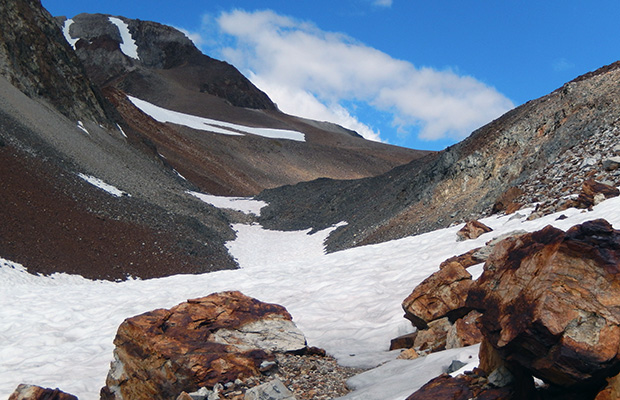
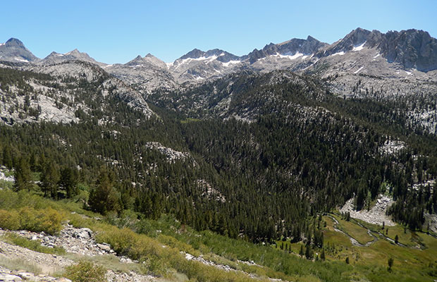
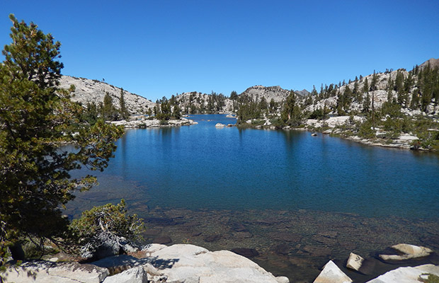
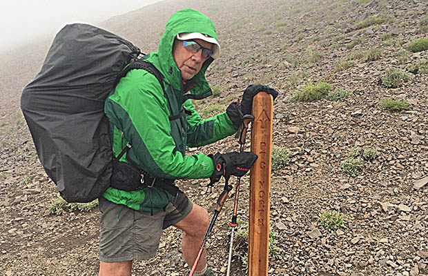
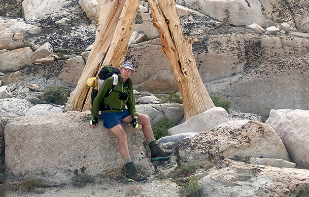
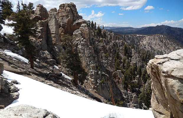
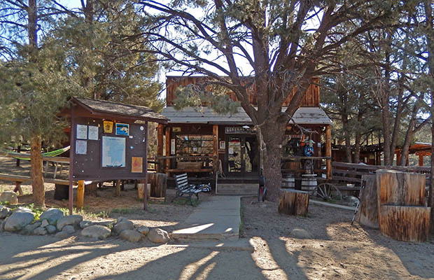
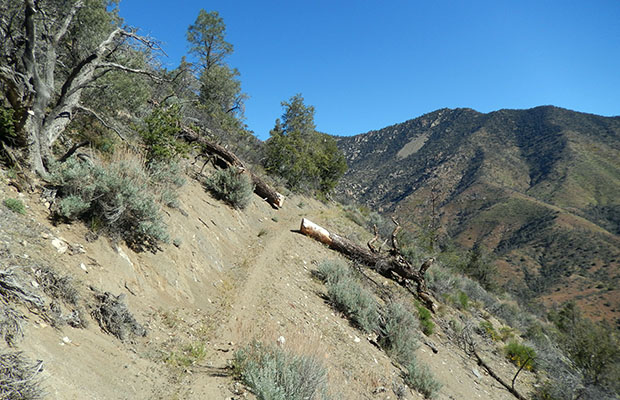
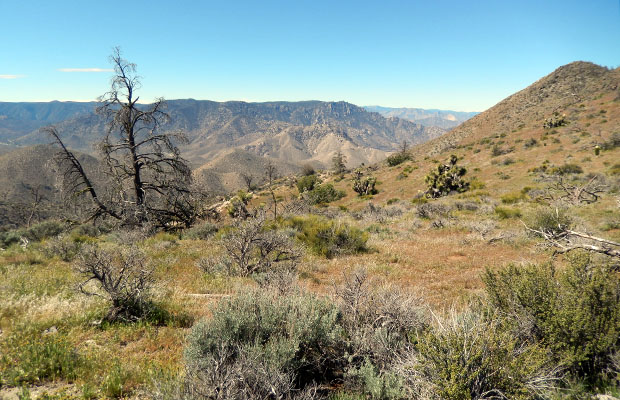
With the snow almost gone along the high Passes of the Sierra Nevada, Bob Williams and I ventured once more into the Hoover Wilderness from south of Sonora Pass. The three access trailheads are Leavitt Meadow, Leavitt Lake, and the PCT at the top of the Pass. These trails can be legally entered with a simple self-permit procedure at the Leavitt Meadows trailhead. Other attractive reasons for us to hike the Hoover, is its closeness to Reno (two-hour drive south on Hwy 395); very few hikers, except along the PCT; no pack or saddle stock except from Leavitt Meadows up to the PCT and south of the Walker River bridge. For the last few years, Bob and I have avoided the Leavitt Meadow Trail, and it’s lateral trails up to the PCT because of extreme damage by commercial horses and mules from the Leavitt Pack Station. Our chosen trailhead is now from the Leavitt Lake access road, a three-mile horror show even with four-wheel drive, high clearance vehicles. I won’t take my Toyota 4-Runner beyond the one-mile point, so from there it’s on foot to the Lake and beyond, traveling the “Tungsten Trail” over the 11,000’ ridge then down to Kennedy Canyon on the PCT. We intended to continue on this old mining road over Big Sam into the Emigrant Wilderness, then exit over Bond Pass into northern Yosemite NP, to go north on the PCT back to Kennedy Canyon and out via Leavitt Lake.
|
|
|
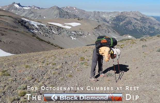
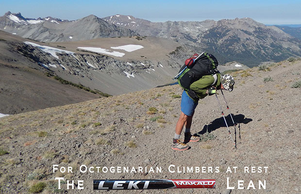
In the event we were spooked by a snow slope lying across the mining road above a vertical drop-off into the Canyon, so a rapid change of plans to hike south on the PCT to the Walker bridge, then up the side trail to the Cinko Lake trail intersection. Despite the intense attacks by mosquitoes at this location we decided to camp for two nights, spending a day hiking up the unmaintained trail to Emigrant Pass and Grizzly Meadow beyond. From previous experience we knew the path was hard to follow from both directions and were not disappointed in losing and then regaining the route in several critical sections. A total lack of people on the trail and at Grizzly Meadow, so much so, that we began to wonder if other hikers knew something we didn’t. Perhaps we’d missed a broadcast warning of the mosquito hordes, this reality we were experiencing? Nevertheless, it was a great day in the wilderness, including the discovery of beautiful campsites that we could use on future trips. On the second to last day, we thankfully departed our “Mosquito Heaven,” descending back to the Walker bridge on the PCT, and then north to our previous camp in Kennedy Canyon. On the way along this section of the PCT we crossed paths with a senior couple (maybe late 50’s early 60’s) from Los Angeles, Will and Barb, hiking from South Lake Tahoe to Yosemite. Barb, whose 68-year-old husband had given up backpacking with the excuse that he was too old, was most impressed when we announced our respective ages of 80 and 79, and insisted on being photographed with us. Bob and I have these experiences with senior hikers (much younger than us) we meet on the long trails. Often, these are folk who have recently retired and now out there catching up on outdoor endeavors which they possibly did last in their 20’s, and believe they only have a few years left to indulge in this high physical demand activity, particularly at the higher elevations of the Sierra Nevada. When they meet Bob and me, their realization that the game is not over when they reach 70, or even 80, then we see what inspiration we really are to these folks. What we don’t mention is that when we were their age, Bob was still a hardcore snowboarder and I was climbing big snow mountains around the world. After a mosquito-free last night in Kennedy Canyon, we hoofed it back over to Leavitt Lake on the “Tungsten Trail,” including acting out our Octogenarian Rest techniques at 11,000’ for a Photo Shoot. Check this fun in the attached slideshow. |
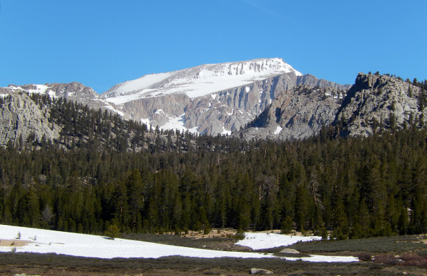
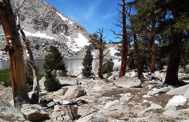
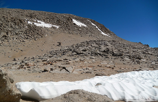
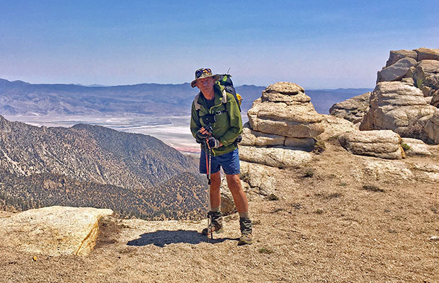
Lollygagging on Langley - late July 2019 |
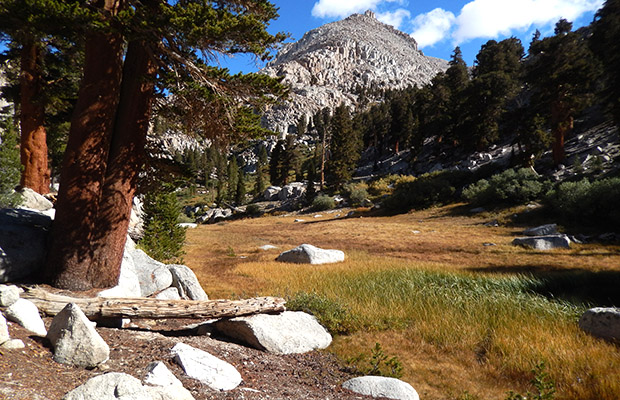
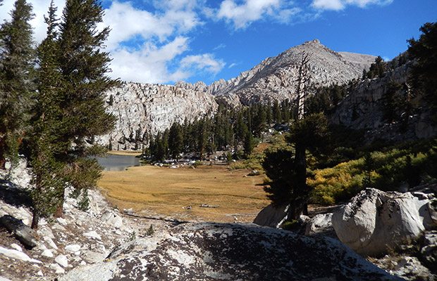
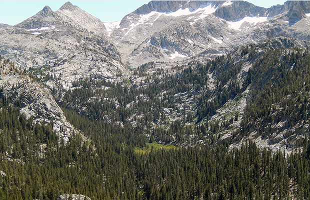
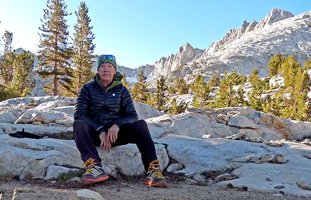
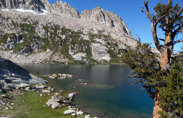
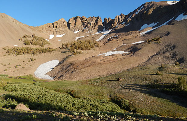
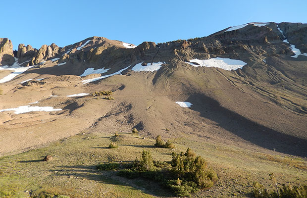
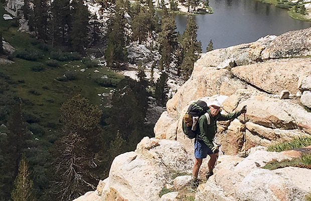
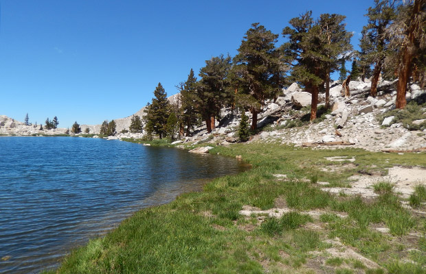
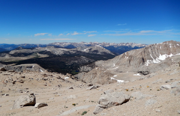
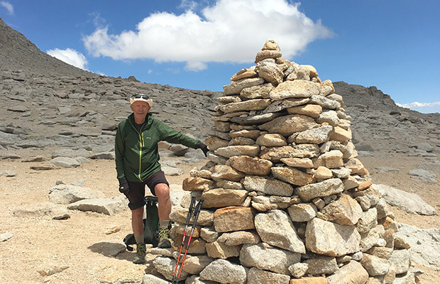
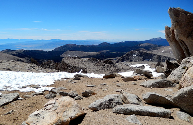
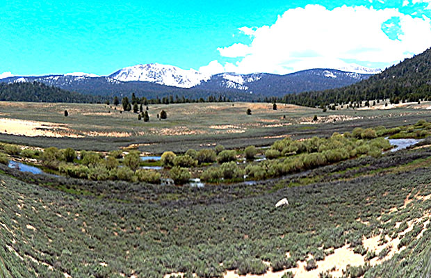
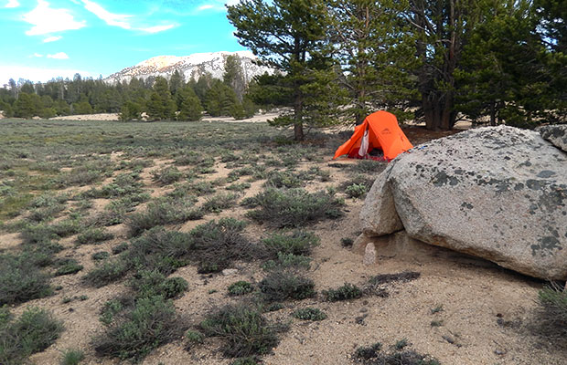
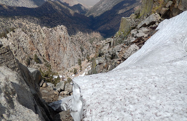
In the last week of July, I drove south from Reno to Horseshoe Meadow, once again for a snow avoidance hike south of Mount Whitney and the John Muir Trail. New Army Pass was reported as having a snow cornice immediately below the Pass summit, so I decided to access Soldier Lakes and Miter Basin via Cottonwood Pass and the PCT. After one night car-camping at the Meadow, I dragged my 80-year-old butt up the long switchbacks to the Pass at 11,100’, then drifted the short distance to Chicken Spring Lake for an early afternoon camp. Joined there by numerous groups, either starting a Nobo JMT hike, or the shorter walks for Mount Whitney and Kearsarge Pass exits. The hiking pair, Kevin and Lorrie, come to mind. The second morning I begin the hike north along the PCT to the Siberian Pass trail, turned north down to the Rock Creek crossing and Lower Soldier Lake. A pleasant surprise to find the seasonal creek running from the southwestern wall of Cirque Peak. Most years, from July through summer, there’s no water at this crossing, and I planned to camp at this delightful location on my return to Horseshoe Meadow. Arriving at Lower Soldier Lake, it was decision time for which route I would use to climb the 300’ for access to the Miter Basin and Upper Soldier Lake. From previous experience, I knew that none of the routes were easy and some potentially hazardous; the main reason Miter Basin is not on the travel plans for the average hiker, horses, mules, and the faint of heart. The very reasons I love being in there.
|
|
|
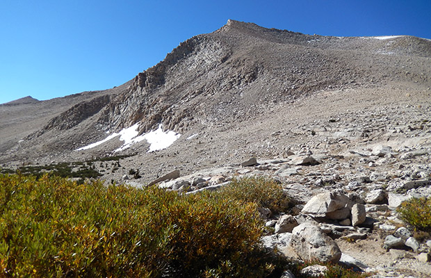
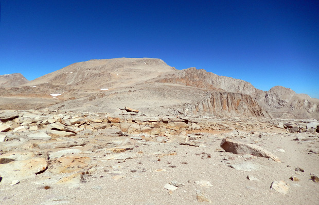
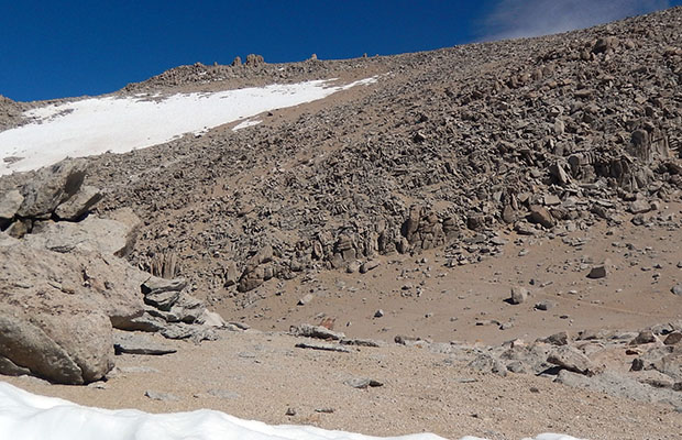
This time, I chose the steep, wet grass gully at the northeastern end of the Lower Lake that leads to a pond on the edge of the escapement, and the dead tree that marks the beginning of a narrow ledge route to Upper Soldier Lake. The climb was not fun, carrying a heavy pack, with water streaming down through the grass, and small cascades over steep rock ledges. Topping out at the pond, I was surprised to see another backpacker beginning the descent from there into Miter Basin, a young woman that I would meet two days later on a mutual climb of Mount Langley. Instead of dropping into the Basin, I chose to take the narrow ledge route around to Upper Soldier Lake, setting up camp at a familiar site between the Foxtail Pine grove and meadow above. I spent two nights at what turned out to be an unpleasant campsite thanks to exposure to a constant high wind coming up the valley and hot sun on the tent throughout the day. In frustration with the unchanging conditions, on the third night, I finally shifted camp down to the shade and wind protection of the Foxtail Pine grove slightly below the lake. On the early morning of my fourth day out, I did the climb from Upper Soldier Lake to intercept the well-worn route that leads to the summit of Mount Langley (14,100’). I’d first climbed Langley in 2011, using a snow route to ascend the final ramp from the 13,200’ location. This time, without the snow, I was confused by the many use-trails that led into a rock band for scrambling onto the summit ramp. I wasted time trying to determine the best route for me, but finally gave up and returned to my camp 2,000’ back down to the Upper Soldier Lake, well satisfied with my climbing performance as an 80-year-old, to the elevation of 13,200’. My fifth day began with narrowly avoiding a minor disaster by attempting a new descent route from the Upper to Lower Soldier Lake. Nearby my new campsite I discovered an old, but a well-constructed trail that appeared to lead down the steep slope in switchbacks. I surmised that it could have been the primary connection for people and livestock between the Lakes, but I’d never noticed any markers to the trail anywhere around the Lower Lake. Moving carefully down the path, and after turning a few switchbacks, a large fallen tree blocked the way, beyond which was a tangle of Willow bushes and partly obscured rock faces. Stupidly, I straddled the log and pushed on in the hope of finding clues to the continuation of the original trail. It was not to be and finally decided to retrace my route after tumbling down a small rock face into the Willows briefly losing my drink container and one Leki Trekker pole. Once back over the log and on solid ground again, I made a route down steep sodden grass and mudslides to the northeast shore of the Lower Soldier Lake. So my ongoing quest for the ultimate access between the two Lakes was another bust. Perhaps next year I’ll find the way? The rest of that day was uneventful, making my way up the Siberian Trail and turning south on the PCT for the brief distance to my new campsite at what I was calling the Cirque Creek crossing. There were multiple choices to place my tent in the shade and located close to the water source. On July 31st, my last day on the journey, I dawdled along the PCT to Cottonwood Pass, enjoying the long downhill section from there to the trailhead in Horseshoe Meadow, and the passing parade of inbound hikers. Folks like Michael and Angela – soon moving to Reno, the group of middle-aged ladies heading for Soldier lake, a JMT bound Father and Daughter from Upstate New York and the Kiwi PCT hikers – Kiwi Brucey and Molly Damper. |
PCT to Death Canyon & the Kern - Early June 2019 |
Attempting to avoid the 100 percent snow-cover on the PCT from Cottonwood Pass north, I decided to hike south from Horseshoe Meadow, over Trail Pass, then down the PCT for six days. This trip to include a cross-country detour west from the Death Canyon campsite, to cross the South Fork of the Kern River in Strawberry Meadows. From there, I would take the northern trail through Templeton Meadows, Mulkey Meadow and finally back to Horseshoe Meadow over Trail Pass. I realized that a safe crossing of the South Fork of the Kern in Strawberry Meadows, and again in Templeton , might be impossible because of the late snow melt. Accordingly, my Plan B was to hike south from Strawberry to the Monache Trail intersection with the PCT and bailout over Olanche Pass to the Sage Flat trailhead in the Owens Valley. The last resort, Plan C, was to retrace my x-country route from Strawberry to the PCT at Death Canyon, then north on the Trail to Horseshoe Meadow. Each option could be done within the six days of food I was carrying. |
|
|
In the event, the first day out of Horseshoe didn't go well. I wasted time finding a safe crossing of the main creek in the Meadow, then fighting the snow coverage climbing up to Trail Pass (using MicroSpikes). Then, on the PCT, I pushed on past Diaz Meadow to the spring at Corral, a total distance of ten miles. Not as young as I used to be (now 80), I arrived at Corral exhausted and suffering serious chest congestion. The next day was easier, mostly on the long downhill section to Death Canyon campsite. My third day out was strictly x-country, heading west from the PCT, following the Death Canyon creek down a gorge into the so-called Dry Creek Meadow, then down another gorge into Strawberry Meadows, and to the banks of the Kern South Fork. Alas, the flow was wide, deep and fast flowing, so Plan C was my best choice, retracing a GPS route back to the Dry Creek Meadow to camp for that night. The following day, still with some chest congestion, I reluctantly hiked back to the Death Canyon campsite on the PCT, and began the long struggle back up to the 10,600' high point with its 6,000' overlook of the Owens Valley. Once there, and with a reckless disregard of the potential danger, I erected my tent close to the edges of the bluff. Using snow for water I had a delightful dinner time living on the edge, but when darkness arrived so did a strong wind that threatened to take the tent, with me, over the cliff into the void. It's said that you can't teach an old dog new tricks, but I now know that it's also true that you can't teach an old dog how to stop being stupid! I survived the night, and took two more days to reach Horseshoe Meadow and my vehicle, from which some asshole had nicked a piece of wheel trim. I've decided to stay home for a while. |
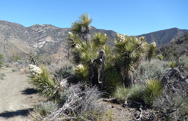
PCT South from Kennedy to Walker Pass - April 2019 |
Hiking south from Kennedy Meadows to Walker Pass along the PCT was nothing more than a desperate option to backpack sections of the Trail without snow. With 188% of the average snow-pack in the Sierra Nevada from the winter of 2018-19, I was impatient to "be out there", where I would be walking only on dirt. This ridiculous plan was to keep going south after Walker Pass to Tehachapi Pass and ultimately Aqua Dulce, a total distance of 250 miles across some of the most waterless sections of the PCT. |
|
|
In the event, I bailed off the PCT after hiking the section from Kennedy Meadows to Walker Pass, a distance of only 52 miles. A trail that has many climbs and descents in a high desert environment of Sagebrush, Joshua Trees, Pinion Pines and Junipers. The best aspect of this section of trail was its mostly easy grade (many switchbacks) and well formed surface (little, or no horse and mule travel). My main complaint was the lack of water sources along the route - no closer than ten miles apart. This situation required me to carry up to four quarts (8 pounds) of water from each source, adding an additional 25% weight increase to my normal maximum pack load of 32 pounds (with eight days of food)! My final decision to not continue further south on the PCT, in conditions of even worse limited water sources, was made easy after the experience to Walker Pass. "Get me off these sections of the PCT, I'd rather wait until the snow melts along the abundant water sections in the High Sierra" |
Goto Home Page
Goto Latest News 2018
For my Aviation Website, Goto: www.flyingkiwiusa.com
latest news2020 | latest news2019 | latest news2018 | latest news2017 | home | main players | contact us | sierra nevada | jmt access map | jmt planning | 2024equipment | jmt schedules | jmt2016 | jmt 2015 | jmt 2014 | jmt 2013 | jmt 2012 | jmt 2011 | jmt 2010 | jmt 2009 | jmt 2008 | jmt 2007 | jmt 2006 | jmt 2005 | jmt 2004 | jmt 2002 | mt agassiz | mt sill | mt shasta | matterhorn peak | mt egmont | nz 2016 | mt rainier | mt shuksan | mt jefferson | pct sonora nth | pct tm nth | pct wa nth | mt baker | wonder trail | mera peak | mt adams | goat rocks | cascades 2003 | mt whitney | kaibab trail | presidents | antarctica | hoover pct | recesses | highrte2015 | highrte2016 | denali89 | benson lake | videos mp4 | tremaynes |