
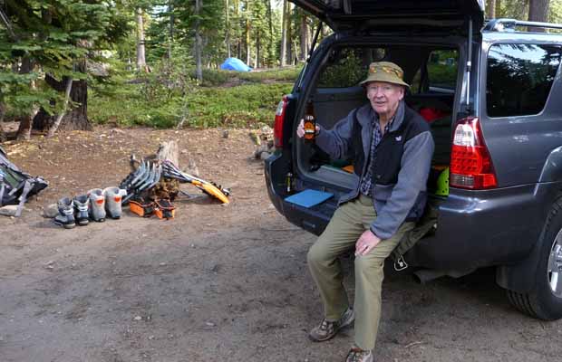
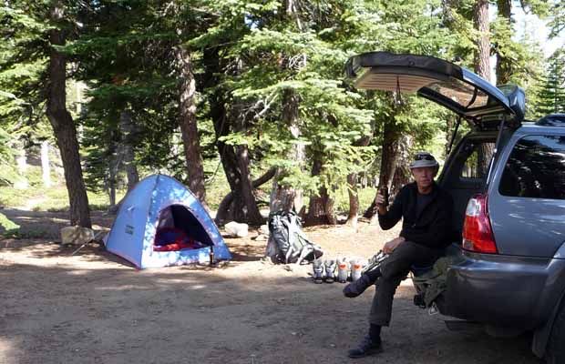
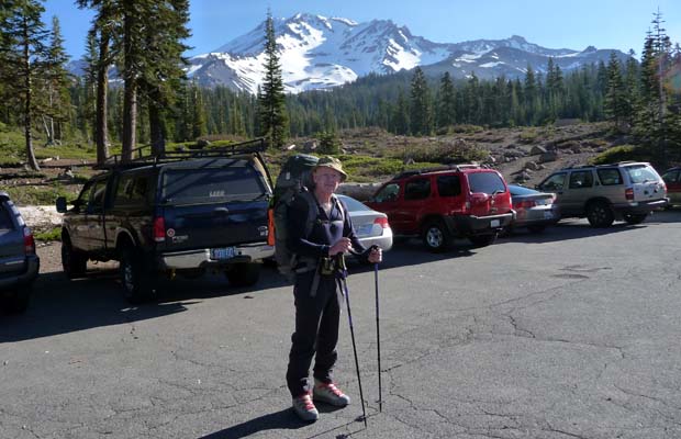
Climbing Mount Shasta 2009
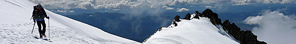
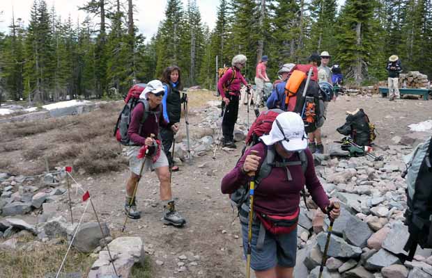
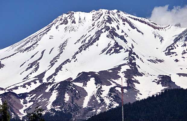
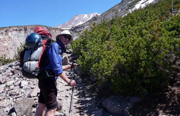
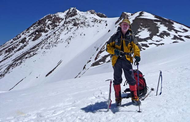
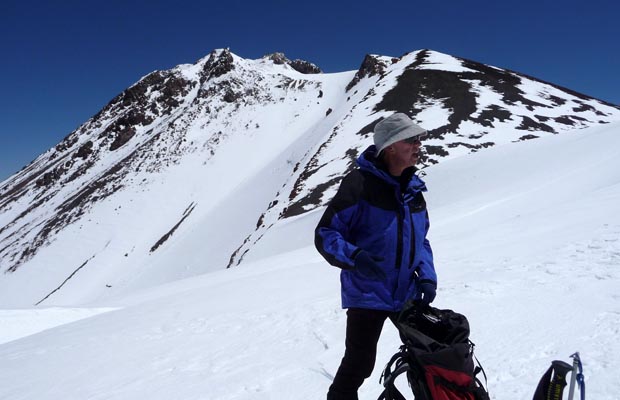
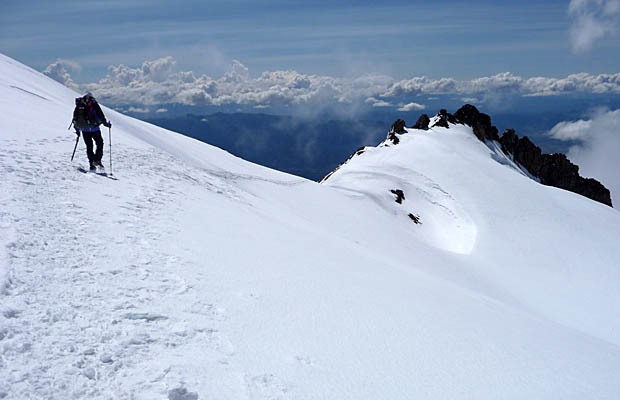
Mount Shasta catches many by surprise with its very presence. Just off the road between the northern Californian towns of Weed and Shasta City, the 14,180’ volcano dominates the surrounding countryside. We, Peter and Mal, arrived on June 17th and camped at Bunny Flat at 6,800’, planning to climb by the West Face route. The next morning, we started the walk in; heavy packs and plastic boots were an uncomfortable change from the lightweight gear we prefer using nowdays. It took an hour to Horse Camp where the trail separates. Most aspirants head from there to the closer more common route of Avalanche Gulch directly ahead. We kept going west, crossing Casaval Ridge low down before emerging at the tree line of Hidden Valley at about 9,500’. The West Face route lay ahead, with clean snow all the way to a saddle at just over 13,000’. The summit was out of sight and would stay hidden behind the saddle till we got to that point. Yet another false summit.
|
|
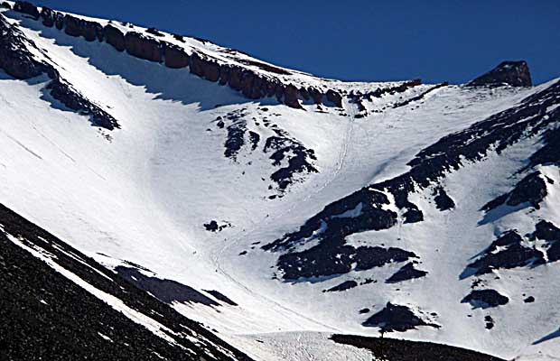
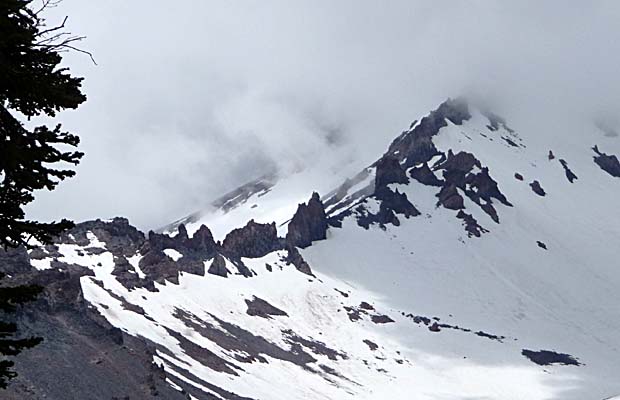
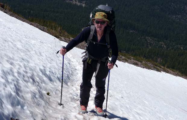
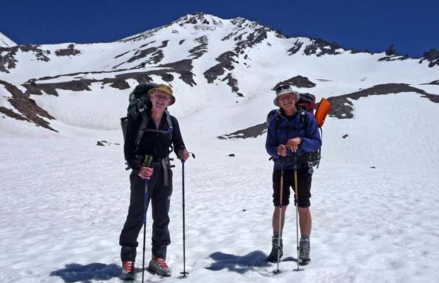
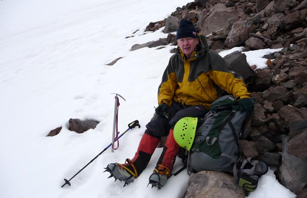
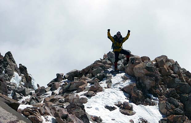
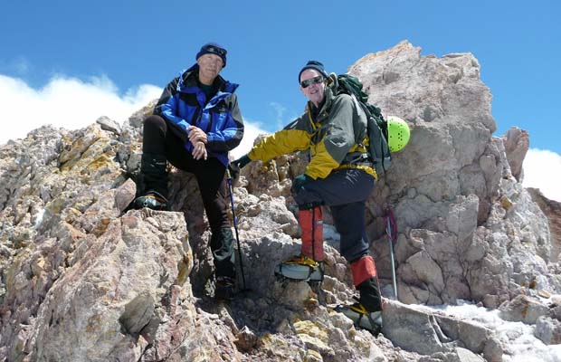
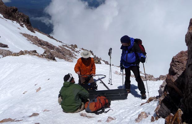
Hidden Valley was too low to camp, leaving 5,000’ of ascent for the next day. Too much for a couple of old dogs. Peter had camped higher on an earlier ascent so we moved ahead, aiming for a rocky safe ledge some 1,000’ further up the mountain. When we arrived, tired after cramponing up steepening snow, it took a couple of hours to cut and level a tent site, build a rock wind-wall and sort out water collection from melting snow. This West Face Hilton site remains for future tenants to enjoy, if they can find it. Weather for next day looked good as we settled down for some well earned sleep. We started climbing above the camp at first light, on hard frozen snow; negotiated a steep access to the 2,000’ slope of the West Face and climbed steadily to the saddle from where we sighted the summit 1,200’ above. Two hours later we stood on the top, having an interesting chat with two other climbers who’d come up Avalanche Gulch and who proceeded to ski from the summit down the eastern slopes of the mountain in a spectacular departure. They spoke of at least thirty other climbers who’d turned back because of weather on the Avalanche Gulch route. We’d earlier ignored the light flurries of snow that came our way. As a result, we almost had the mountain to ourselves. |
|
|
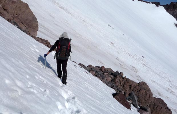
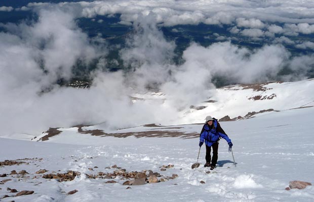
At 3 pm, we began the descent from the summit, through what had become soft snow. There was some dodgy steep mixed ground lower down that we carefully threaded through as we left the West Face to reach our tent after nearly 12 hours hard, but great climbing. Climbing the big snow mountains is getting harder; perhaps there’s not many left in the Dudes from Downunder, as age takes its toll? Then again, as time passes and the memory of pain softens, who knows?
©Mal Hill - Alstonville NSW 2009 |

Return to Top
latest news2020 | latest news2019 | latest news2018 | latest news2017 | home | main players | contact us | sierra nevada | jmt access map | jmt planning | 2024equipment | jmt schedules | jmt2016 | jmt 2015 | jmt 2014 | jmt 2013 | jmt 2012 | jmt 2011 | jmt 2010 | jmt 2009 | jmt 2008 | jmt 2007 | jmt 2006 | jmt 2005 | jmt 2004 | jmt 2002 | mt agassiz | mt sill | mt shasta | matterhorn peak | mt egmont | nz 2016 | mt rainier | mt shuksan | mt jefferson | pct sonora nth | pct tm nth | pct wa nth | mt baker | wonder trail | mera peak | mt adams | goat rocks | cascades 2003 | mt whitney | kaibab trail | presidents | antarctica | hoover pct | recesses | highrte2015 | highrte2016 | denali89 | benson lake | videos mp4 | tremaynes |