
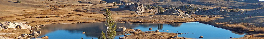
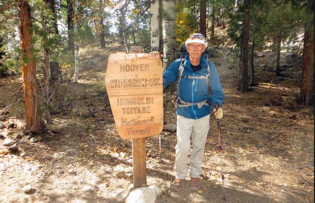
The 2014 Hoover & Emigrant Wilderness Hikes
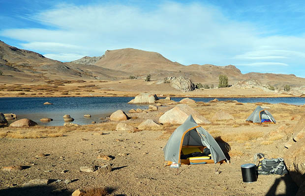
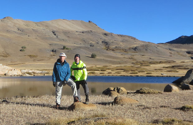
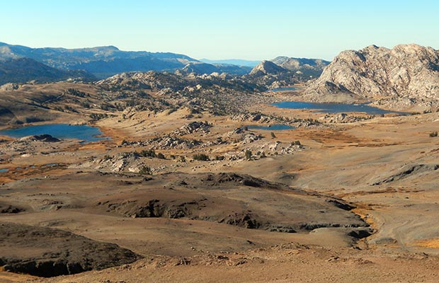
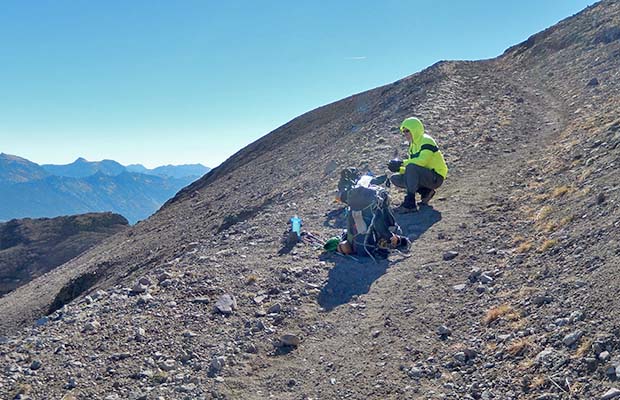
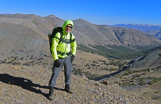
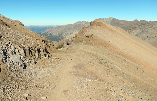
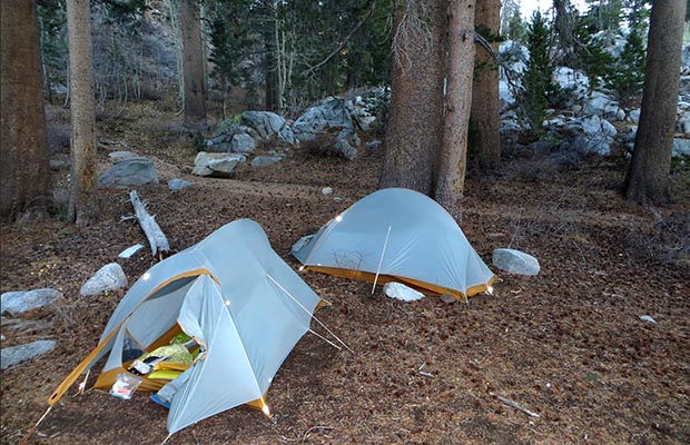
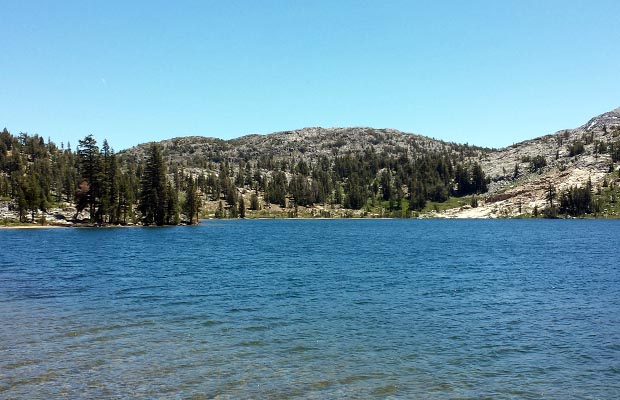
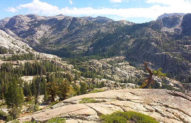
Late in October of 2014, I was back in the mountains for one last trip, later than any previous year I’ve attempted to hike on the PCT in the Sierra Nevada. I did have a companion, Bob Williams from Reno, and in the event we were on and off the PCT south of Sonora Pass for four days without being caught in early snow. We used the relatively low [7,100’] trailhead at Leavitt Meadows to avoid the possibility of having our vehicle stuck on Hwy 108 for the Winter! The Leavitt Meadows Trail parallels the PCT south, but about 1500’ lower. The first night had us camped at the Chain of Lakes near the PCT, then the following day we climbed over Emigrant Pass into the Emigrant Wilderness [a first for both of us]. The third day saw us over Big Sam on the old wagon road and back down to the PCT in Kennedy Canyon … a fantastic day on a trail less traveled. Spent the last night at Fremont Lake in a howling gale, with the distinct feel that a major storm was on its way, and indeed, did show up on the afternoon we made it back to the trailhead. During the four days and 36 miles we hiked, we met no others, even on the PCT. This trip was definitely a highlight of my numerous backpacking adventures this year. |
|
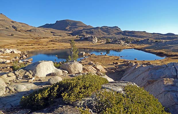
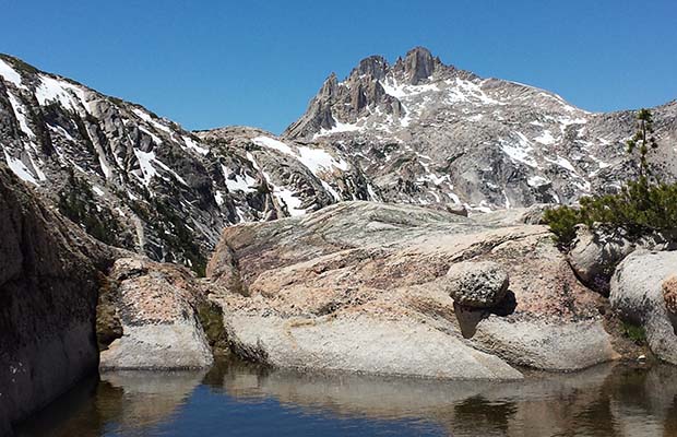
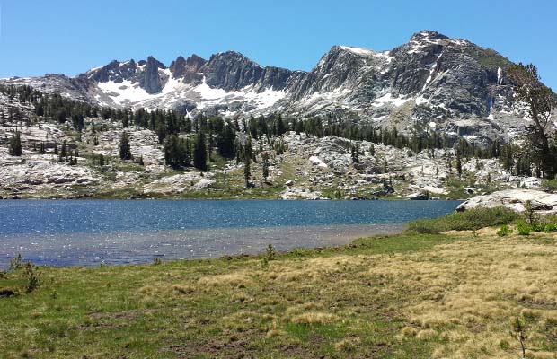
![Grizzly Peak [10,400'] on the Hoover boundary with the Emigrant Wilderness.](images/214hoover/214bobshoov18.jpg)
|
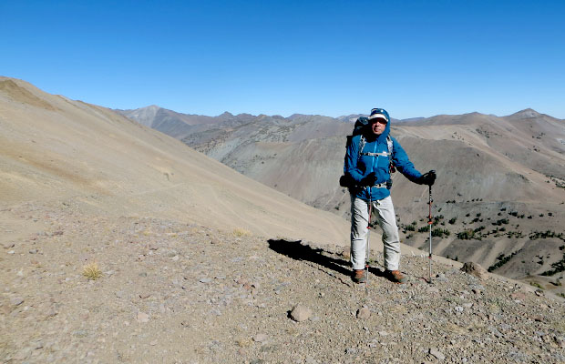
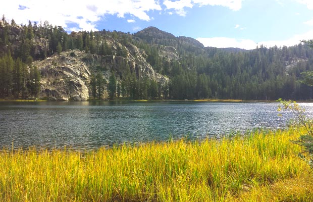
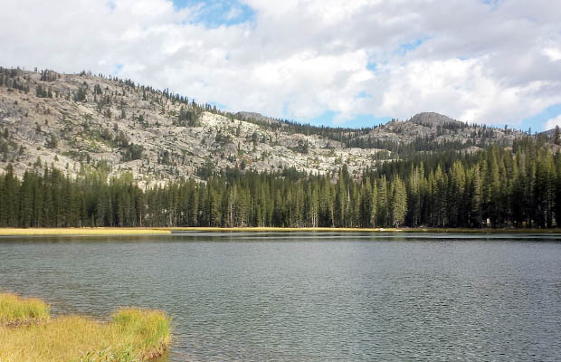
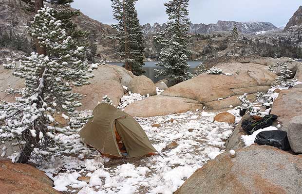
On the subject of getting caught in early snow, I experienced this very situation in the last week of September, 2014. I went in at the Leavitt Meadows trailhead for a 6 day, 60 mile, solo circuit ... mostly on the PCT southbound, with a plan of returning to the same trailhead from Upper Piute Meadow. On the morning of the 5th day I woke to 3 inches of snow on the tent, snow that had appeared literally out of the blue. Because the snow was still falling, I decided to bailout to a closer trailhead … all downhill to Twin Lakes using the Robinson Creek trail. I messaged Lucy on my DeLorme inReach to meet me at Twin Lakes in time to retrieve the vehicle at Leavitt Meadows before the Sonora Pass road [Hwy 108] was closed. As it happened, when we reached the Hwy 108 turnoff from 395, the road had been closed over the Pass, but fortunately only above the Leavitt Meadows trailhead. A timely lesson in late season backpacking in the Sierra. Incidentally, during the actual 5 days and 56 miles on this circuit on and off the PCT, I met a total of 5 people, 2 of them Park Rangers.
©2014 Peter Tremayne, Reno NV |
latest news2020 | latest news2019 | latest news2018 | latest news2017 | home | main players | contact us | sierra nevada | jmt access map | jmt planning | 2024equipment | jmt schedules | jmt2016 | jmt 2015 | jmt 2014 | jmt 2013 | jmt 2012 | jmt 2011 | jmt 2010 | jmt 2009 | jmt 2008 | jmt 2007 | jmt 2006 | jmt 2005 | jmt 2004 | jmt 2002 | mt agassiz | mt sill | mt shasta | matterhorn peak | mt egmont | nz 2016 | mt rainier | mt shuksan | mt jefferson | pct sonora nth | pct tm nth | pct wa nth | mt baker | wonder trail | mera peak | mt adams | goat rocks | cascades 2003 | mt whitney | kaibab trail | presidents | antarctica | hoover pct | recesses | highrte2015 | highrte2016 | denali89 | benson lake | videos mp4 | tremaynes |